

Skopos, Florina, West Macedonia
Castle of Setina

| Location: |
| Around 2.5km east of the village Skopos of Florina in northern Greece |
| Region > Prefecture: |  |
| West Macedonia Florina | |
| Municipality > Town: | |
| City of Florina • Skopos | |
| Altitude: | |
|
Elevation ≈ 810 m (Relative Height≈10 m) |
| Time of Construction | Origin | |
| Early Byzantine period | Early ΒΥΖΑΝΤΙΝΕ |
|
| Castle Type | Condition | |
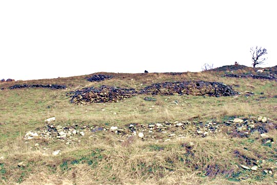
| Castle Ruins |
Few Remains
|
A few remains of a fortified town east of the village Skopos in Florina prefecture, close to the upcountry road to the dam of Papadia.
The Name of the Castle
Skopos is the modern name of a village which until 1928 was named “Setina”. The name originates probably from the Roman version of an ancient local name.
History
Not much information is available about this town. It was definitely Byzantine as it is mentioned by the Byzantine chronicler Georgios Kedrinos (end of 11th century). Furthermore, the findings in the site include Roman coins from the 2nd century AD to the 12th century.
At the site there are ruins of a basilica and other buildings. There is also an unusual number of subterranean rooms which probably were used for the storage of the wheat production from the plain of Pelagonia.
In the 10th century, Setina was part of the Bulgarian Empire under Tsar Samouil. In 1016, it was captured and destroyed by the troops of the Byzantine emperor Basil II. However, the town continued to exist until the 12th century.
| First entry in Kastrologos: | October 2015 |
Sources
- Photo by the user daiko from Panoramio
- Info about the location of the castle from Mr. Brady Kiesling
- Nikolaos Moutsopoulos , «ΑΓΝΩΣΤΑ ΒΥΖΑΝΤΙΝΑ ΚΑΣΤΡΑ ΤΗΣ ΜΑΚΕΔΟΝΙΑΣ», Εκδόσεις «Νησίδες», 2004, ISBN 9608263220


