

Trikala, Xylokstro-Evrostini, Corinthia,Peloponnese
Paliokasto of Trikala


| Location: |
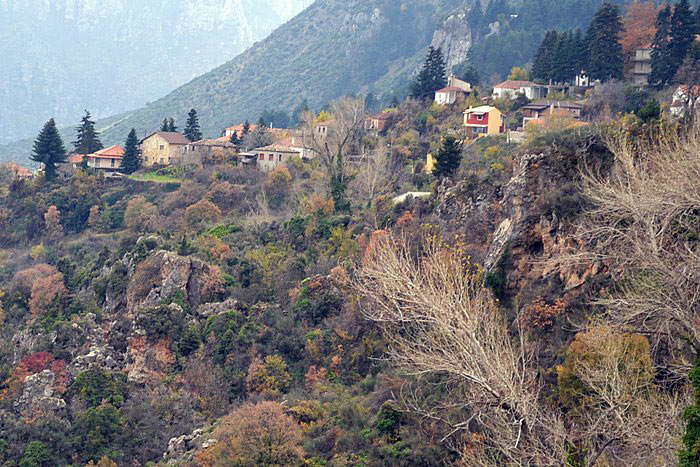
| At the slope between the villages Ano Tricala and Mesaia Tricala in Corinth region |
| Region > Prefecture: |  |
| Peloponnese Corinthia | |
| Municipality > Town: | |
| City of Xylokstro-Evrostini • Trikala | |
| Altitude: | |
|
Elevation ≈ 970 m (Relative Height≈0 m) |
| Time of Construction | Origin | |
| 13th or 14th cent. | FRANKISH |
|
| Castle Type | Condition | |
| Castle Ruins |
Few Remains
|
Remains of a castle at the slope between Ano and Mesaia Tricala of Corinth region.
History
We do not know anything about the history of the castle. It was probably Frankish, built, perhaps in the 13th or the 14th century.
It is included in the Frankish list of castles of 1450 (Trechale), 1467 (Tricalia) and 1469 (Teichala). It is also in the Venetian list of the Grimani census of 1700 as Tricalla.
Structure, Fortification & Buildings
The castle is on a plateau under a big rock. Its area is 1200m2. Foundations of the walls (at the northern and southern sides) are partly visible, as well as the remains of a tower.
| First entry in Kastrologos: | December 2016 |
Sources
- Κορδώσης Μ., Συμβολή στην Ιστορία και Τοπογραφία της περιοχής Κορίνθου στους μέσους χρόνους, Αθήνα 1981, 266
- Πέππας Ι., Μεσαιωνικές σελίδες της Κορινθίας και Μορέως, p., 184-185
|
|
| Access |
|---|
| Entrance: |
| Free access |
| Other castles around |
|---|
| Fort of Farmakas |
| Fortress of Gavrias |
| Goulas of Kaisari |
| Fortress of Kokkinovrachos |
| Tower of Drosopigi |
| Castle of Polyfengo |
| Castle of Tarsos |
| Tower of Agia Triada in Zarouchla |


