1
2 / 19
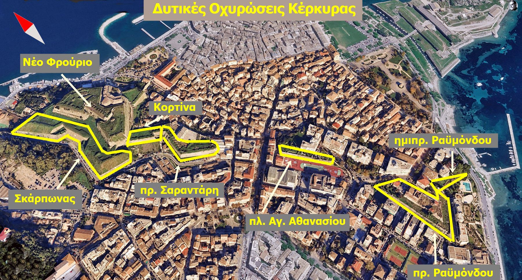
οι σωζόμενες θέσεις της δυτικής οχύρωσης
3 / 19
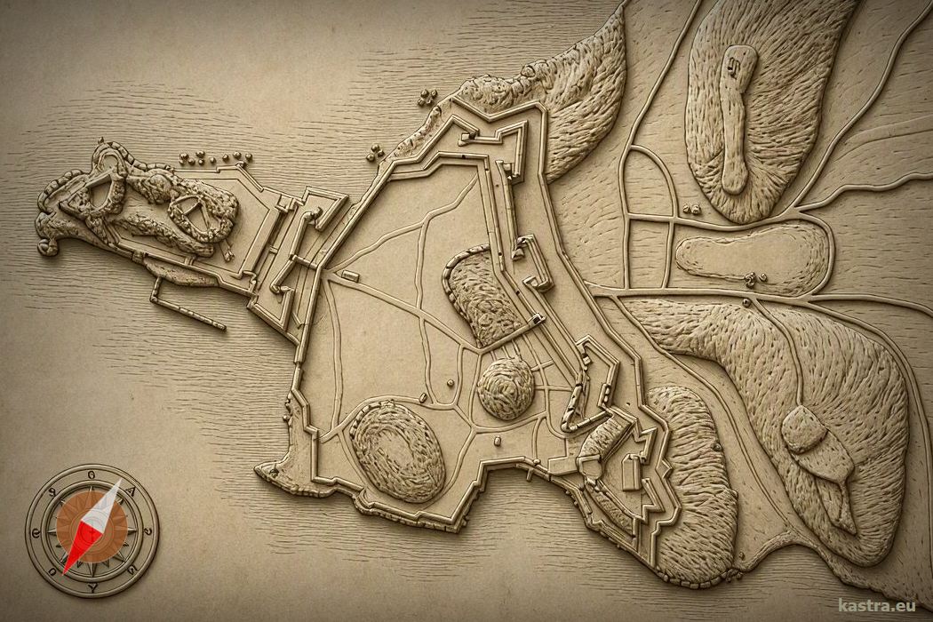
ανάγλυφη αναπαράσταση των οχυρώσεων στηριζόμενη σε χάρτη του 18ου αι.
4 / 19
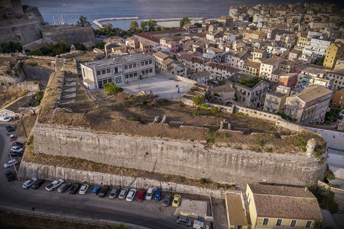
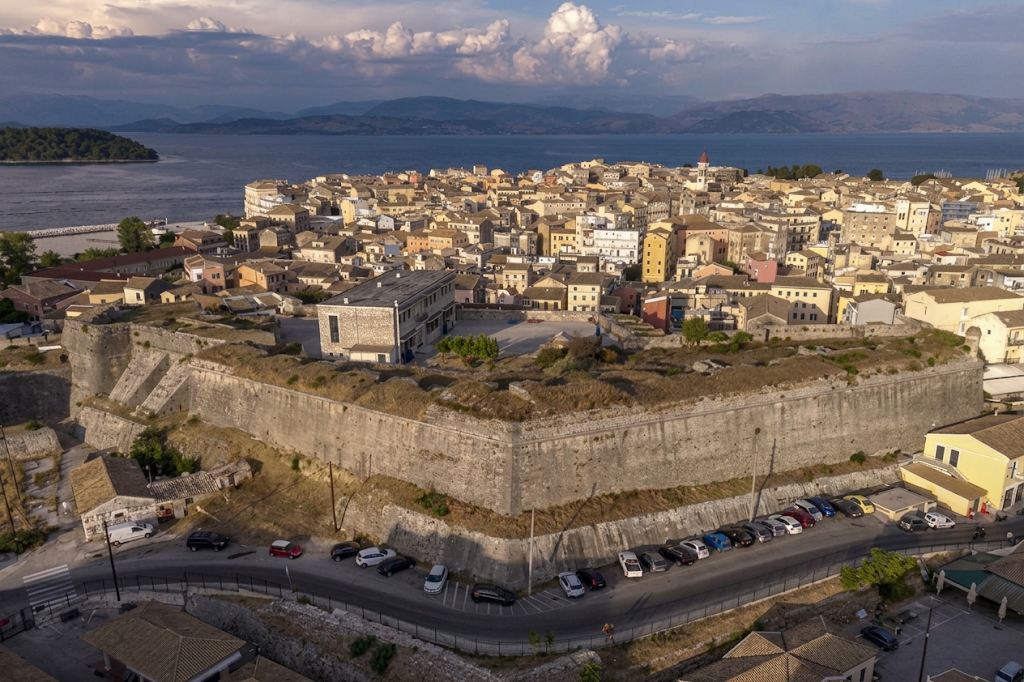
προμαχώνας Σαραντάρη
5 / 19
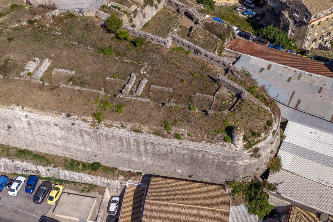
ο λωβός (Οrecchione) της νότιας άκρης του προμαχώνα Σαραντάρη
6 / 19
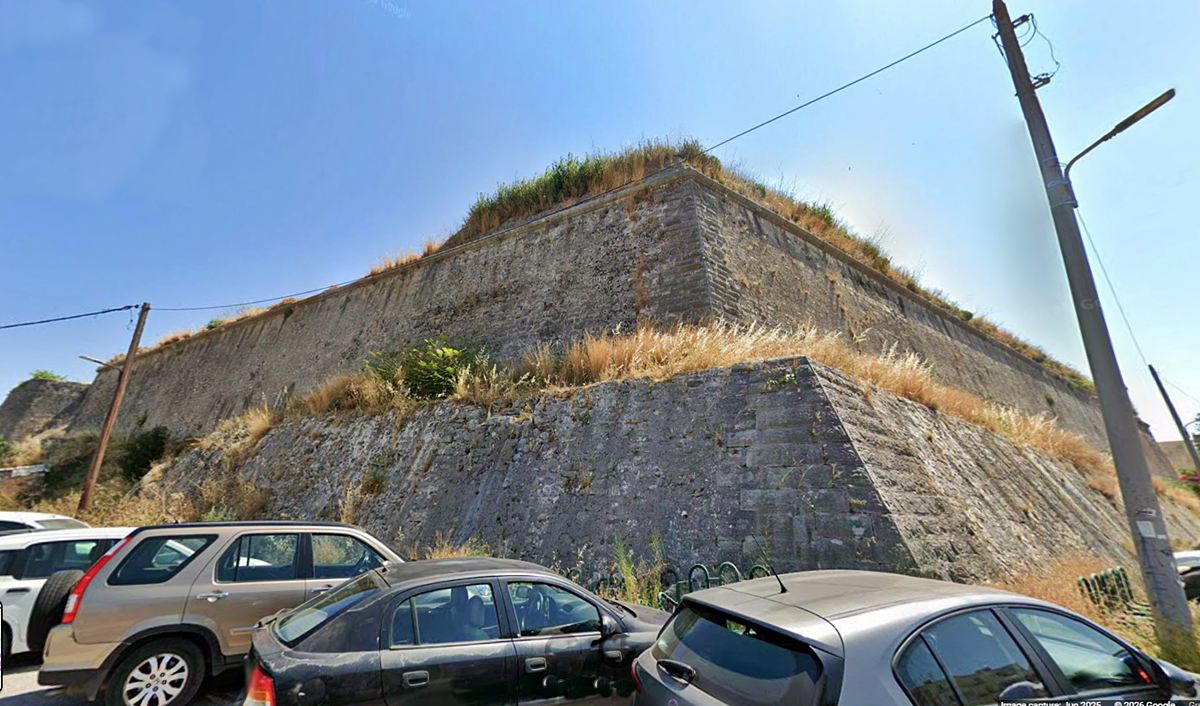
η βορειοδυτική γωνία του προμαχώνα Σαραντάρη
7 / 19
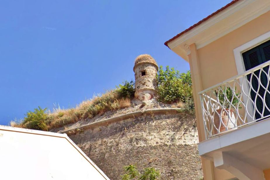
σκοπιά στη νότια άκρη του προμαχώνα Σαραντάρη
8 / 19
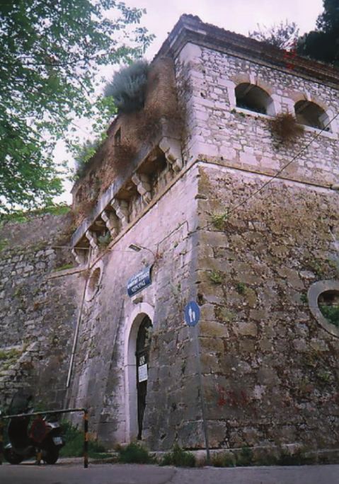
πύλη του προμαχώνα Σαραντάρη
9 / 19
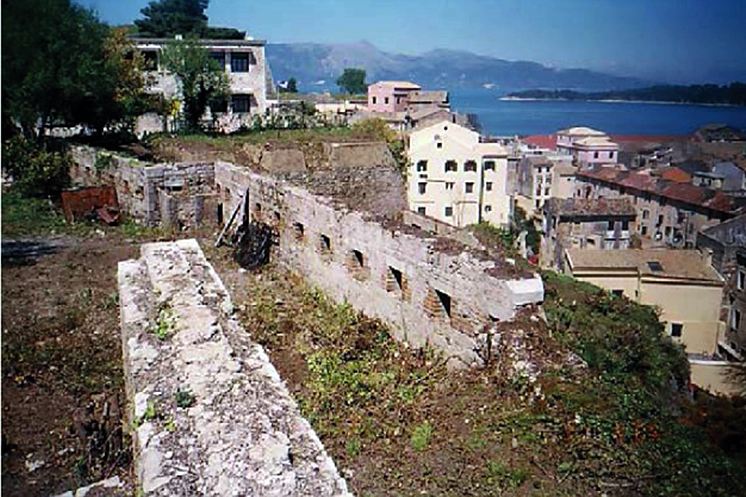
προμαχώνας Σαραντάρη – ανατολική πλευρά (προς την πόλη)
10 / 19
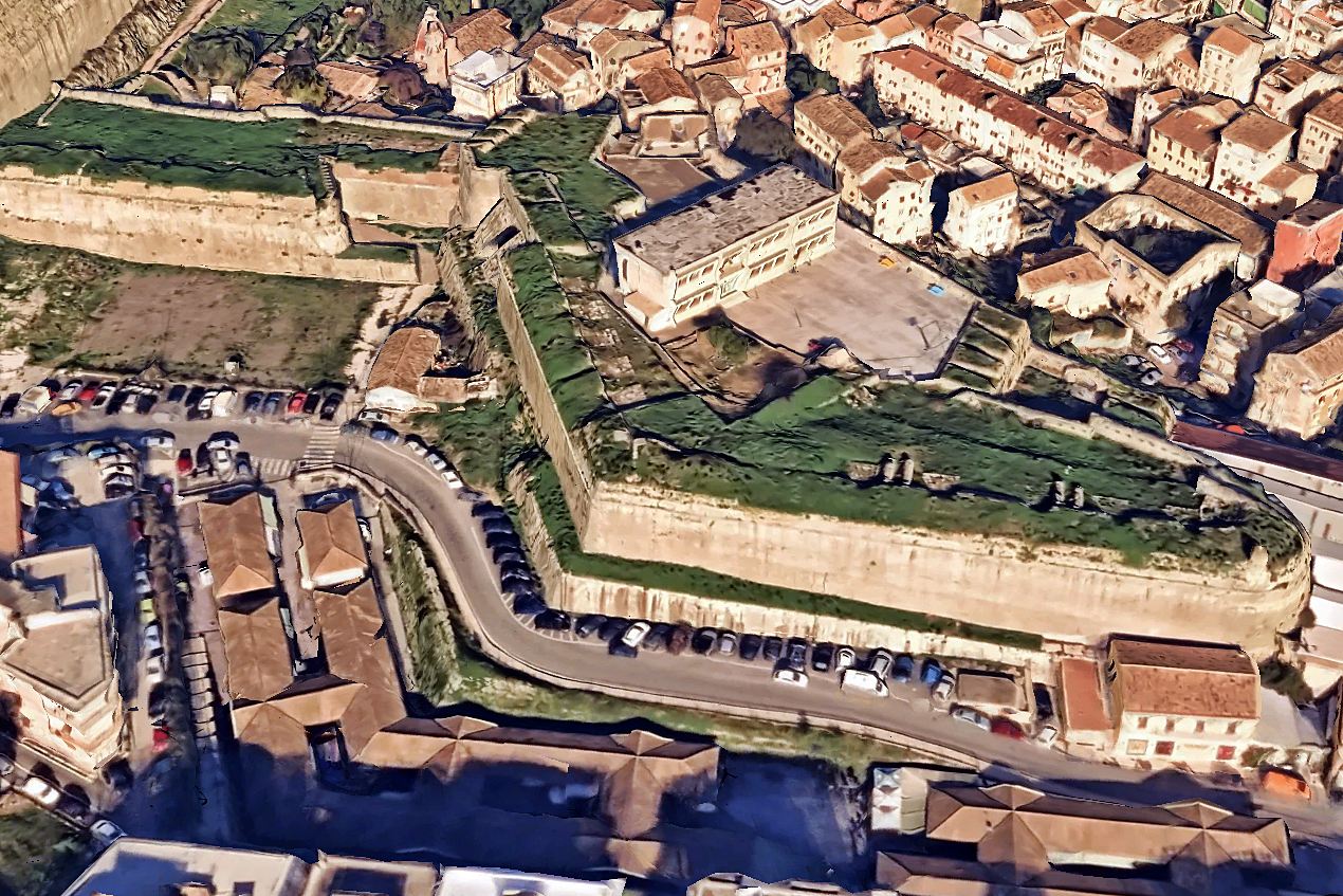
προμαχώνας Σαραντάρη
11 / 19
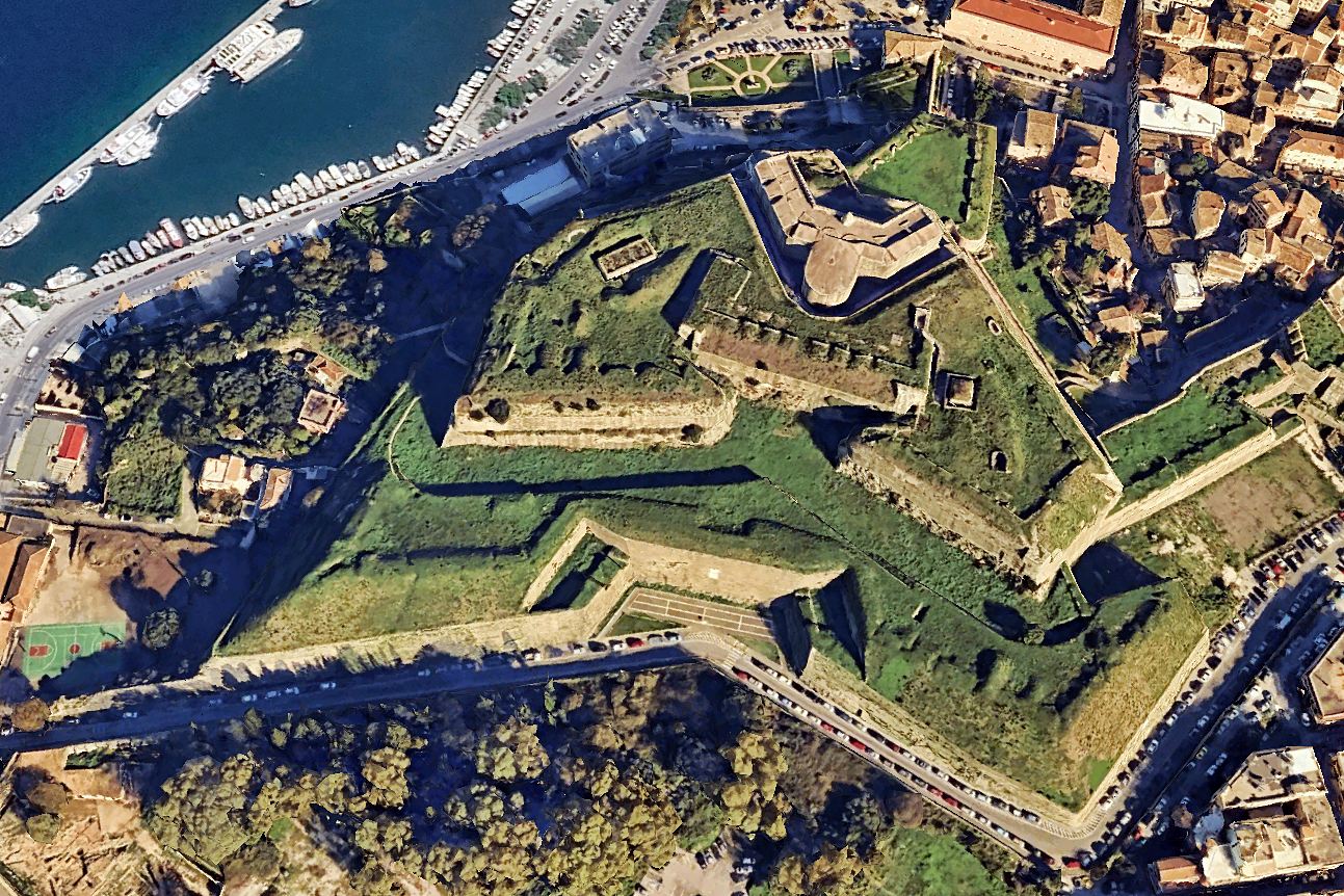
οχυρό Σκάρπωνας (μπροστά και δυτικά από το Νέο Φρούριο)
12 / 19
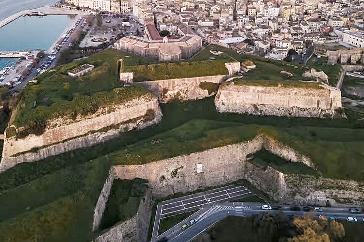
οχυρό Σκάρπωνας (μπροστά και δυτικά από το Νέο Φρούριο)
13 / 19
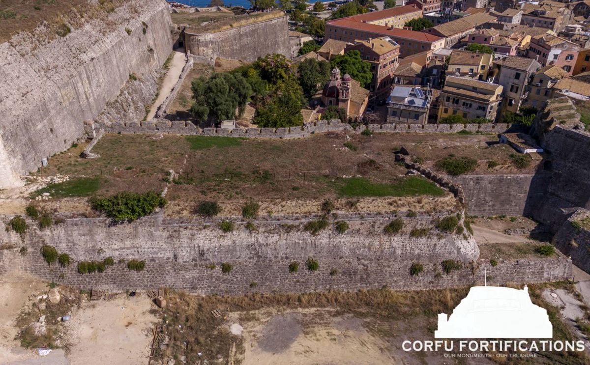
η κορτίνα μεταξύ Νέου Φρουρίου και του προμαχώνα Σαραντάρη
14 / 19
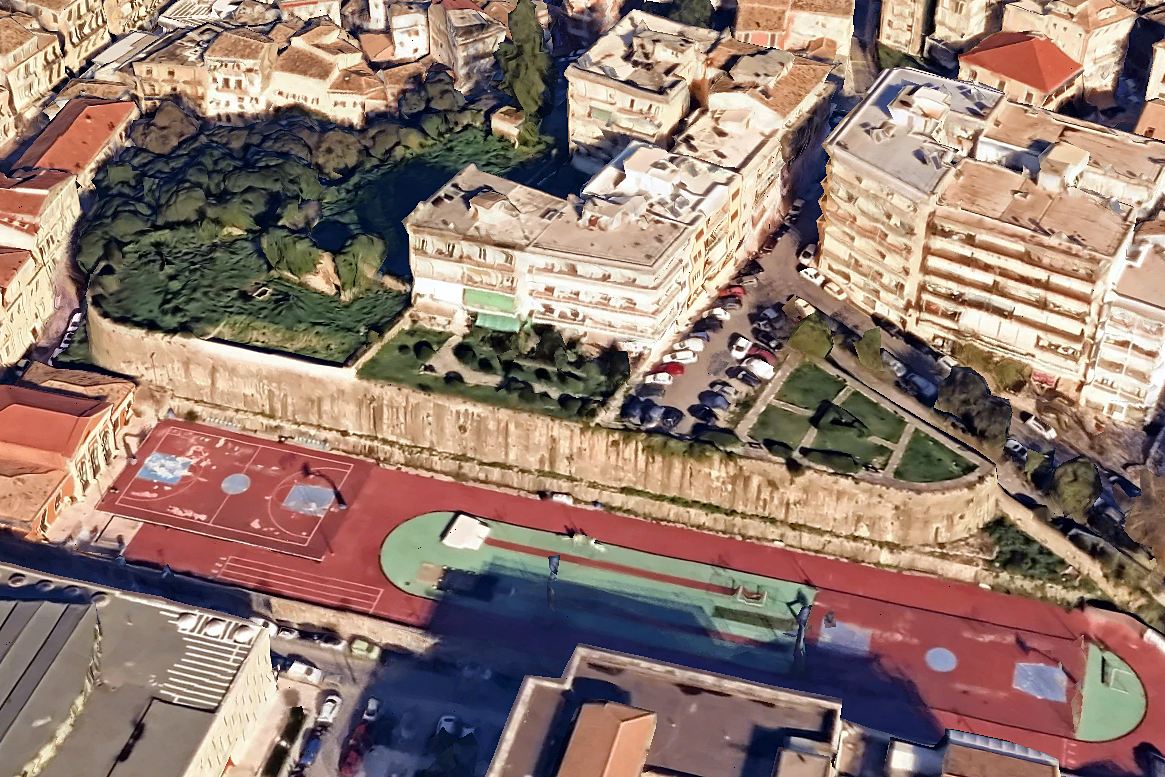
η πλατφόρμα Αγίου Αθανασίου
15 / 19
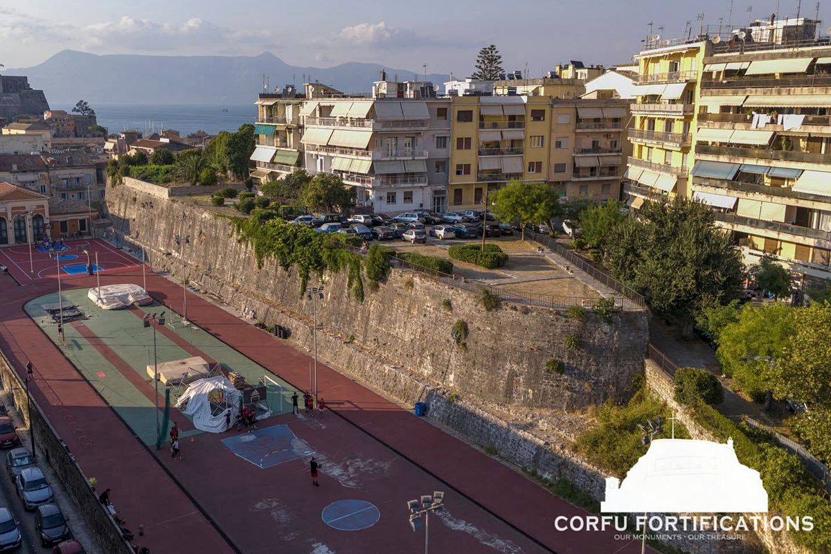
η πλατφόρμα Αγίου Αθανασίου
16 / 19
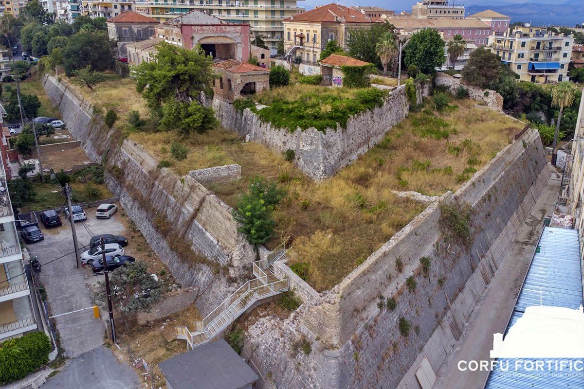
ο προμαχώνας Ραϋμόνδου στη νότια άκρη
17 / 19
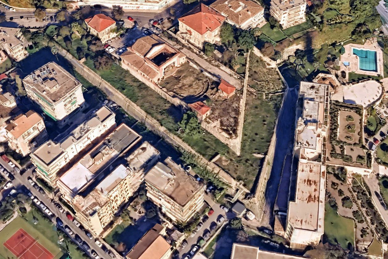
ο προμαχώνας Ραϋμόνδου στη νότια άκρη
18 / 19
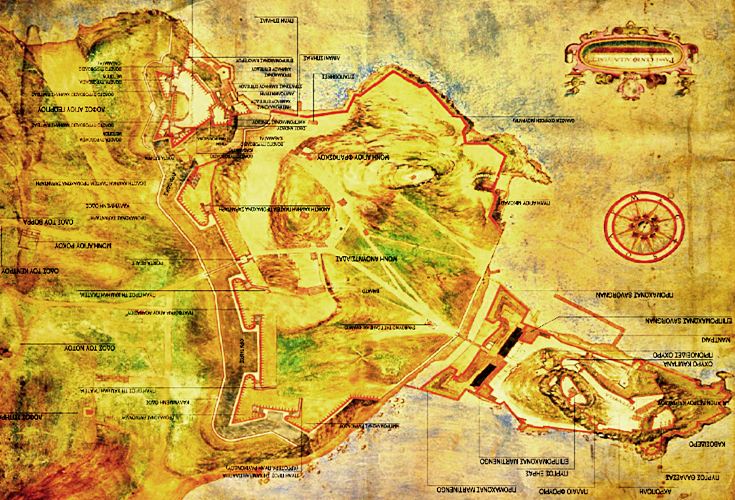
σχέδιο των οχυρώσεων – τέλος 16ου αι.
19 / 19
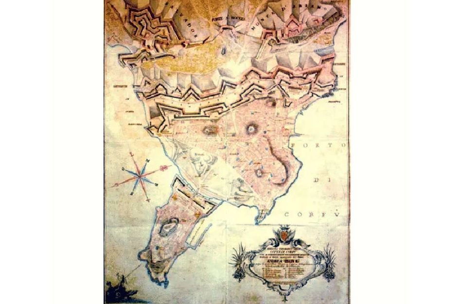
σχέδιο των οχυρώσεων – τέλος 18ου αι.
ΤΕΛΟΣ