

Komnina, Xanthi, East Macedonia & Thrace
Fortress of Komnina


| Location: |
| On a slope 1.5 km SW of the village Komnina, in Xanthi prefecture, in Thrace |
| Region > Prefecture: |  |
| East Macedonia & Thrace Xanthi | |
| Municipality > Town: | |
| City of Xanthi • Komnina | |
| Altitude: | |
|
Elevation ≈ 220 m (Relative Height≈0 m) |
| Time of Construction | Origin | |
| 11th cent. perhaps | BYZANTINE |
|
| Castle Type | Condition | |
| Castle Ruins |
In Ruins
|
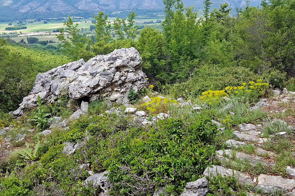
Few remains of a fortress on the slope of the mountain NW of the village Komnina, overlooking the valley of Nestos river.
There is no information by historical sources about this castle. So we cannot know its history.
It appears to be one of the castles built by the Macedonians in the 4th century BC to control the territory of Thrace. As other castles of this category, it soon lost its military value and it must have been abandoned after the Roman conquest.
The castle was reactivated and repaired with the use of mortar some time in the middle Byzantine period. Some coins and other findings in the vicinity dating from the 11th/12th century lead to the hypothesis that the reactivation of the castle might have happened in that period.
| First entry in Kastrologos: | June 2019 |
Sources
- ΑΡΧΑΙΟΛΟΓΙΚΟΝ ΔΕΛΤΙΟΝ, τεύχος 34/1979, σελ. 336-338
- Website ΘΡΑΚΙΚΟΣ ΗΛΕΚΤΡΟΝΙΚΟΣ ΘΗΣΑΥΡΟΣ - Κομνηνά (βυζαντινή εποχή)
- ΑΡΧΑΙΟΛΟΓΙΚΟΝ ΔΕΛΤΙΟΝ, τεύχος 37/Β2 (1982), σελ.343
|
|
| Access |
|---|
| Approach to the monument: |
| Starting from the cemetery of Komnina follow the asphalted road to the village Ano Livera. After 1500m, there is a wooden sign pointing to the castle. From there, a 500m path leads to the castle. |
| Entrance: |
| Free access |
| Other castles around |
|---|
| Castle of Akontisma |
| Fortress of Avgo |
| Fortress of Kalyva |
| Mesegouni Fortress |
| Fortress of Petropigi |
| Topeiros |
| Xanthi Castle |