

Mavrolofos, Nea Zichni, Serres,Central Macedonia
Tower of Zavanikeia
or Tower of Avanikeia


| Location: |
| Atop a low hill 2.5km SW of the village Mavrolofos in Serres prefecture |
| Region > Prefecture: |  |
| Central Macedonia Serres | |
| Municipality > Town: | |
| City of Nea Zichni • Mavrolofos | |
| Altitude: | |
|
Elevation ≈ 150 m (Relative Height≈20 m) |
| Time of Construction | Origin | |
| probably 14th cent. | Late-BYZANTINE |
|
| Castle Type | Condition | |
| Ruined Tower |
Few Remains
|
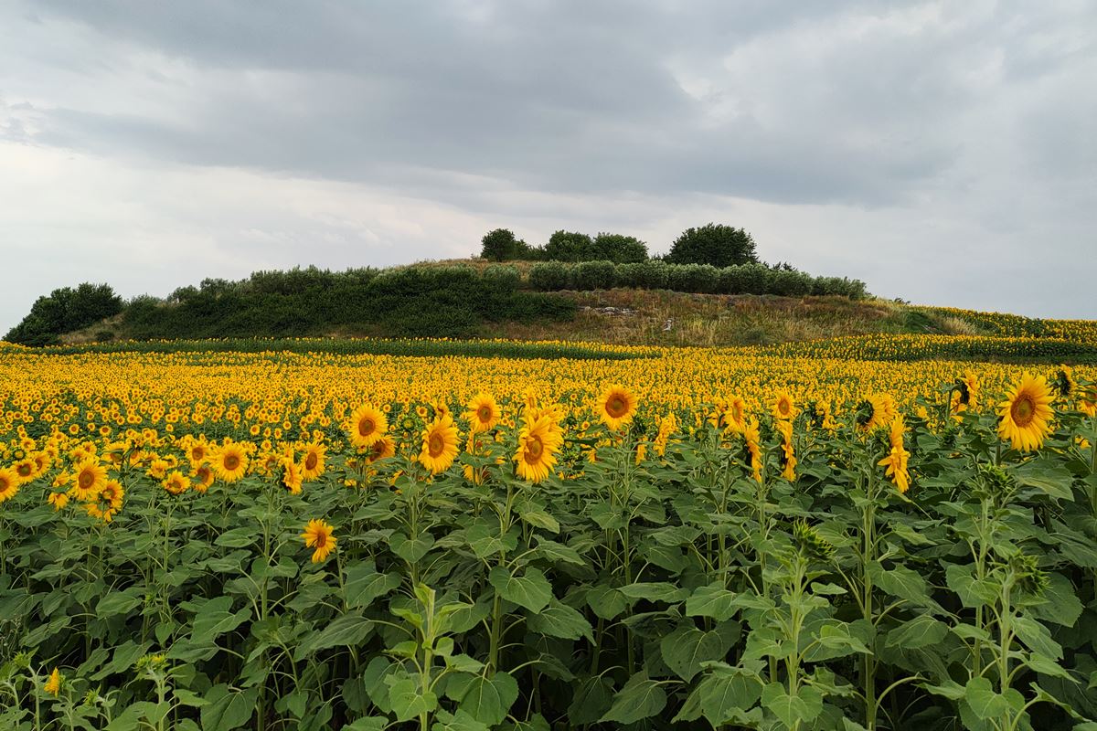
Few remains of a Byzantine tower, on a low hill, 2.5 kilometers southwest of the village of Mavrolofos in the prefecture of Serres, in an area where there was a Byzantine settlement identified with the village of Avarnikia or Zavarnikia, the existence of which is attested from at least the 11th century.
The tower was probably built in the 14th century.
South of the hill there are streams and water from springs that end up in the adjacent Gyalorrema stream which flows into the Aggitis river, just before it flows into the Strymonas river.
The Name of the Castle
The first mention of the settlement is made in the year 1080, when it is recorded as proasteion Avarnikia. In the following centuries it is mentioned with similar names (with the addition of a 'Z' at the beginning of the name): Zavarnikia, Zavarnikia, Zavernikia, Zavarnikia.
The etymology of the name is unknown.
History
From topographic surveys and excavation data, it appears that the hill at Zavarnikia was continuously inhabited from the classical era until the end of the 19th century. Abundant Byzantine and post-Byzantine surface pottery, wall ruins and a post-Byzantine period bathhouse (that survives nearby in good condition) place the settlement between the hill and a ravine to its south.
Avarnikeia or Zavarnikeia was for a long time the property of the Vatopedi Monastery of Mount Athos and we have several references to it from historical sources:
In a chrysobulus (Golden Bull) of the emperor Nikephoros III Botaneiatis (January 1080) it is mentioned as “a proasteion close to Chrysopolis” (Chrysopolis was a Byzantine city at the mouth of the Strymonas).
As proesteion it is also found in a chrysobulus of Alexios I Comnenus (February 1082) according to which Avarnikia had the obligation to pay a tax of 15 coins.
With the name Zavernikia, it is mentioned as a chorion (village) in a chrysobulus of the emperor Andronikos II Palaiologos (July 1292), with a more precise topographical definition: “near another village named Semelton”. (Semelton=the modern village of Mikro Souli).
In a census document (April 1297) it is stated that the Monastery of Vatopedi had in its possession “in Zavernikia a vineyard of 10 modiums and land of 60 modiums”. In the same year, the monk Klimis is mentioned as the steward of the dependency.
In May 1329, the Vatopedi monks succeeded in issuing another chrysobulus for the estates of their monastery, from Andronikos III Palaiologos.
With a golden bull of the year 1348, the Serbian ruler Stefanos Dusan validates the ownership of the Vatopedi Monastery in its dependency in Avarnikia. The same validation derives from a chrysobulus of Ioannis V Palaiologos from 1356 according to which Vatopedi Monastery owns “Zavernikia together with the tower and its possessions”.
The above references in combination with the preserved toponym “Zavarnikia”, the discovery of the Byzantine tower (after excavation) and the mention of the tower in a chrysobulus of Ioannis V of the year 1356, is sufficient evidence for the identification of the hill with the settlement Zavarnikeia and the tower.
In short, we see that the presence of the settlement is noted in the sources from 1080. Then we have several references, but the existence of the tower is mentioned for the first time in 1356. Therefore, it is most likely that the tower is of the Late-Byzantine period, probably of the 14th century.
Apart from its defensive character, it seems that the tower was also used for the storing of agricultural production, a usage that was common for such buildings at that time. There were many similar monastic towers, with a similar role, during the late Byzantine period in the Strymon valley and in Halkidiki.
The reason that the tower today is completely destroyed and survives only at the height of the foundations, is obviously the fact that it served as source of building material for the construction of post-Byzantine buildings of the settlement.
The settlement around the hill survived for many centuries. It is mentioned in an Ottoman tax register of 1454/55 as Zevarnik with 174 inhabitants. It is also mentioned under the name Sevarnik in a document of 1786.
The village seems to have ceased to exist around the second half of the 19th century. In 1924 there were still abandoned houses and water mills around.
Structure, Fortification & Buildings
In the center of the top of the hill has been revealed, after an excavation carried out by the archaeological service in the 1980s, part of the foundation of the NE corner of a Byzantine quadrilateral tower, whose dimensions were 2.13✖4.00m The preserved height is only 0.35m.
Its masonry consists of large greyish stones connected with lime mortar and a few bricks. It is probably a tower that had buttresses, a common feature of towers of the late Byzantine period.
Besides the tower, on the hill, on its north-eastern side, the architectural remains of a single-room naydrium are preserved. From this, initially only the niche of the Sanctuary was distinguishable in which an inscribed column of the 1st AD had been incorporated (as a building material) and a miliarium (=marble odometric column). The miliarium because of its cylindrical shape was used as the base of the Holy Altar.
An excavation in 1981 revealed more things: The little church has internal dimensions of 3.65✖5.00 m. wall thickness 0.60-0.70 m. and a maximum surviving height of 0.63m.
The miliarium found inside is dated 305/306( AD). and it is an indication that the Egnatia Road passed through the spot.
The church is dated at the end of the Late Byzantine period or at the beginning of the early Post-Byzantine years. That is, 14th or 15th century.
| First entry in Kastrologos: | July 2023 |
Sources
- Research, presentation and photos by Sakis Amfitreidis and his blog ΑΜΦΙΤΡΕΙΔΗΣ (June 2023)
- Σαμσάρης, Πέτρος «Βυζαντινοί τόποι και μνημεία της κάτω κοιλάδας του Στρυμόνα», 2004, Πανεπιστήμιο Ιωαννίνων – Διδακτορική Διατριβή, 2004, σελ. 165-168
- Ζήκος Νικόλαος, Βυζαντινοί πύργοι στο κάτω τμήμα της κοιλάδας του Στρυμόνα, ΟΙ ΣΕΡΡΕΣ ΚΑΙ Η ΠΕΡΙΟΧΗ ΤΟΥΣ ΑΠΟ ΤΗΝ ΑΡΧΑΙΑ ΣΤΗΝ ΜΕΤΑΒΥΖΑΝΤΙΝΗ ΚΟΙΝΩΝΙΑ (ΔΙΕΘΝΕΣ ΣΥΝΕΔΡΙΟ-Α' ΤΟΜΟΣ-1993), σελ. 321-322 (Ανάτυπο από την Εταιρία Μακεδονικών Σπουδών).
|
|
| Access |
|---|
| Approach to the monument: |
| Approach via dirt roads from Mavrolofos or via a dirt road fromNR Mesorrachi-Amphipolis. The route on dirt roads is about 2 to 2.5km and needs attention in some places for a conventional car. |
| Entrance: |
| Free access. The dense vegetation makes it difficult to access and navigate the hill. |


