Drosia, Chalkis, Euboea,Central Greece
Tower of Drosia
or Tower of Chalia
1
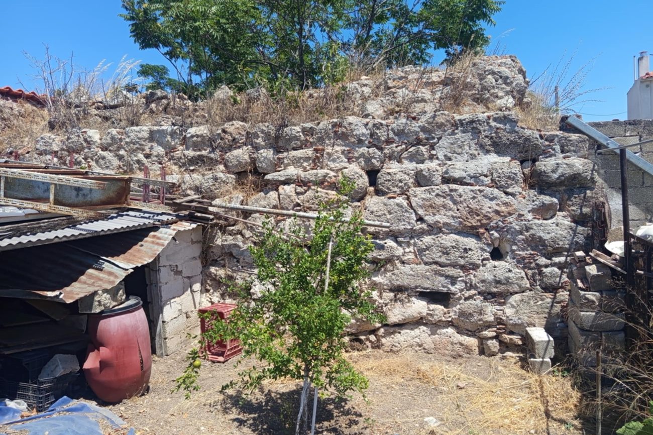
2 / 11
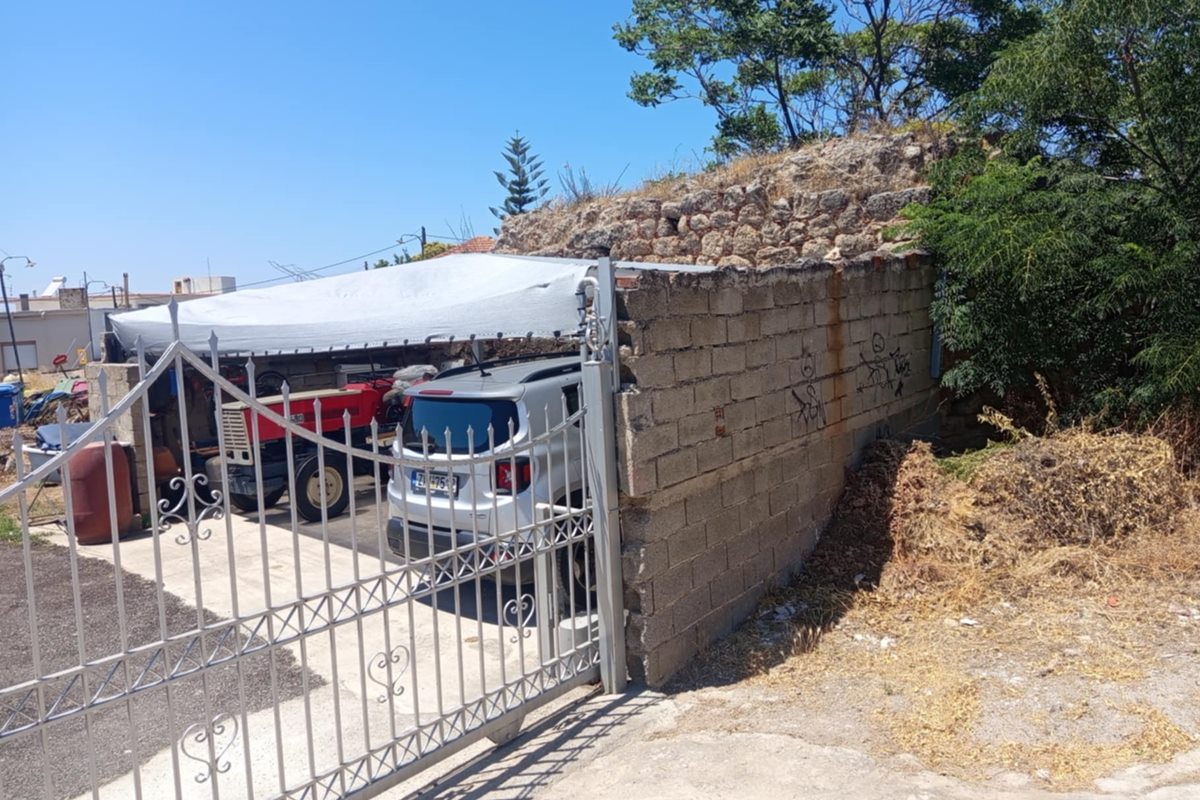
view of the tower from SE
3 / 11
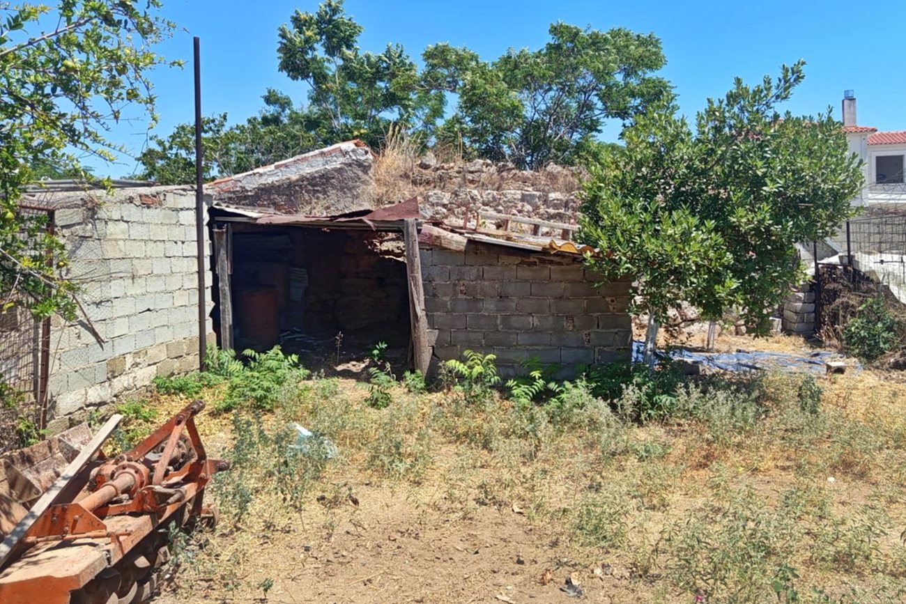
the north side of the tower
4 / 11
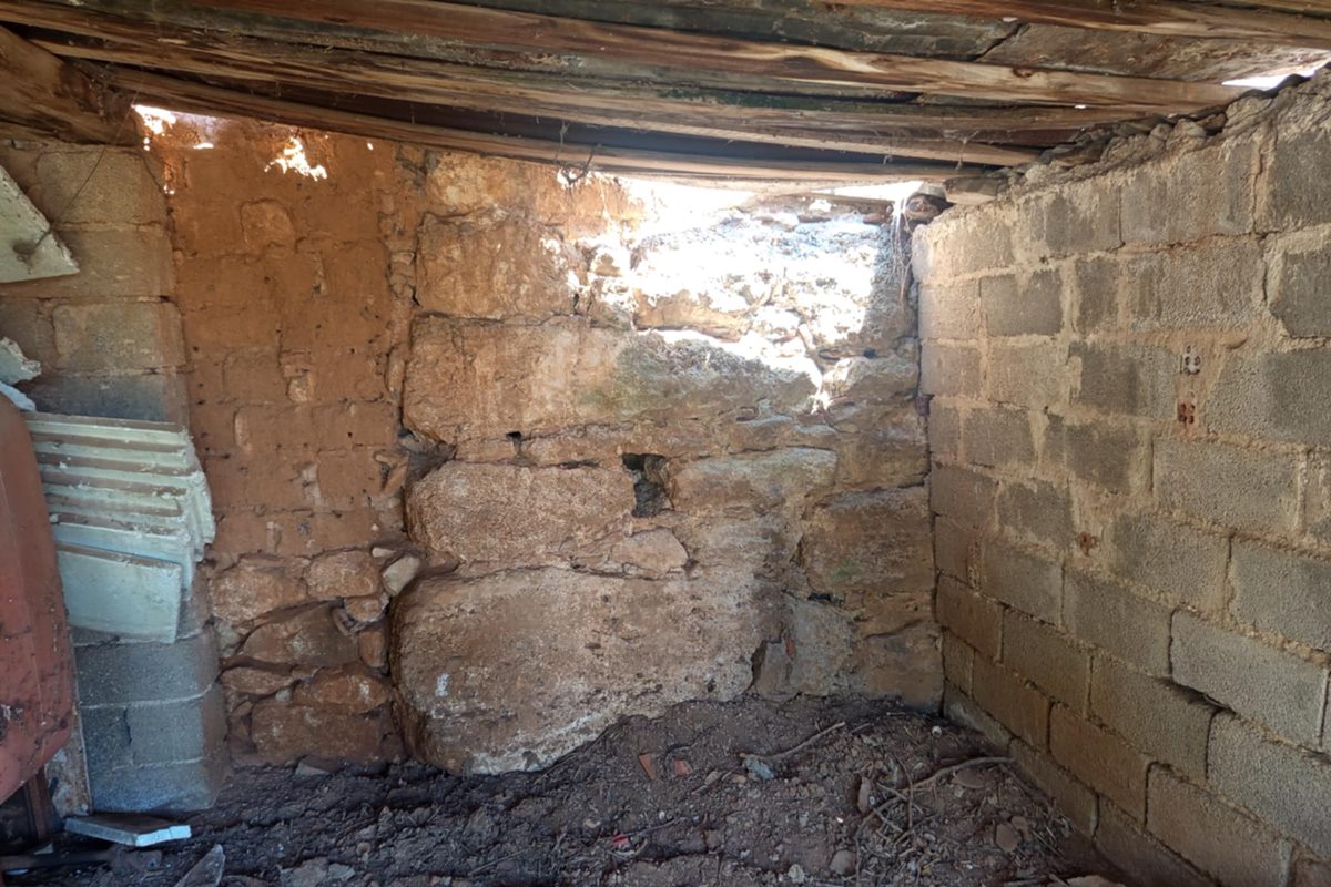
the north side from inside the recent additions
5 / 11
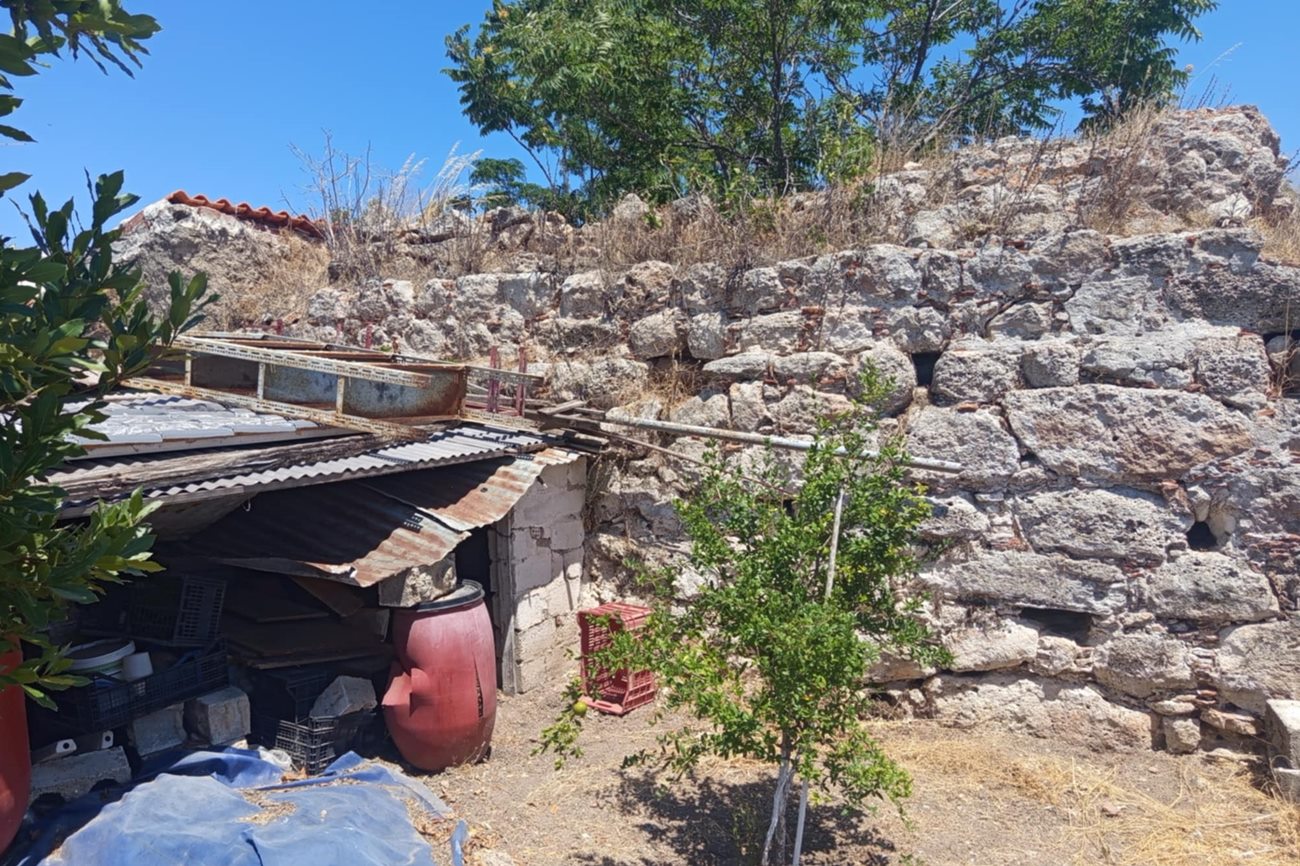
the west side of the tower
6 / 11
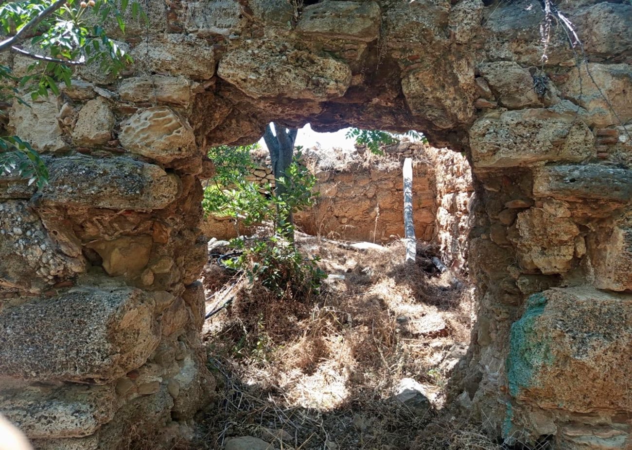
the opening at the eastern side
7 / 11
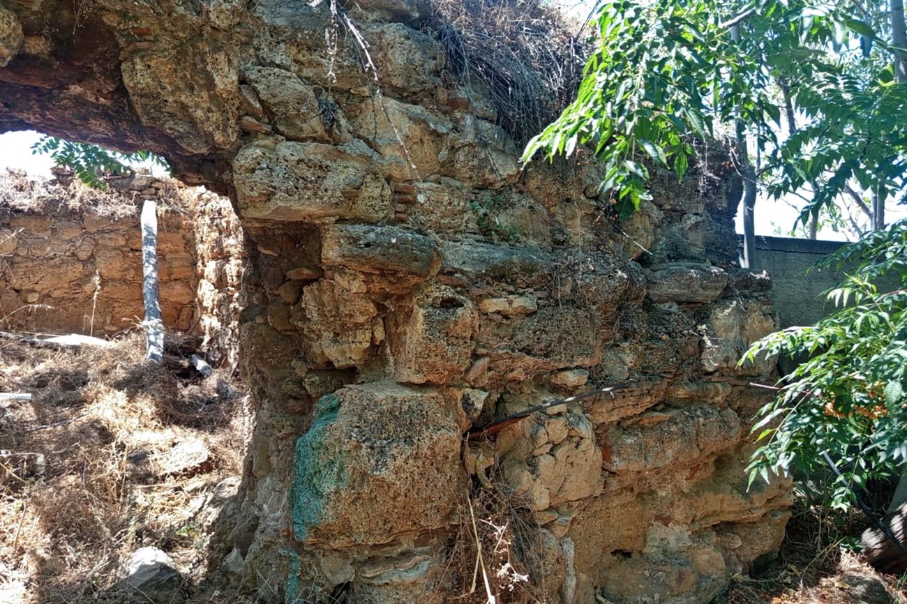
the wall masonry right of the eastern opening
8 / 11
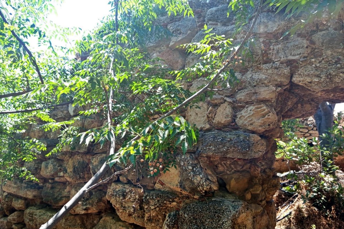
the wall masonry left of the eastern opening
9 / 11
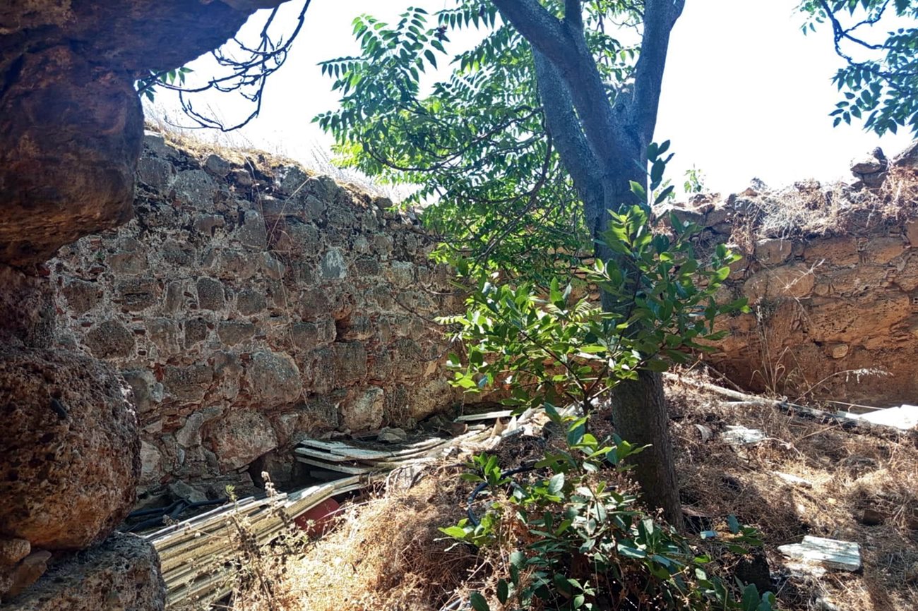
the interior of the tower
10 / 11
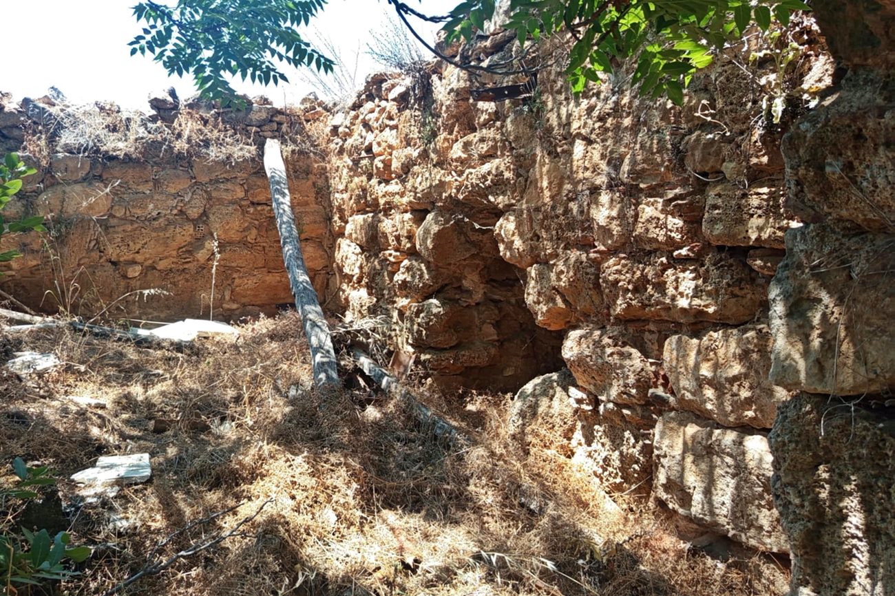
the interior of the tower
11 / 11
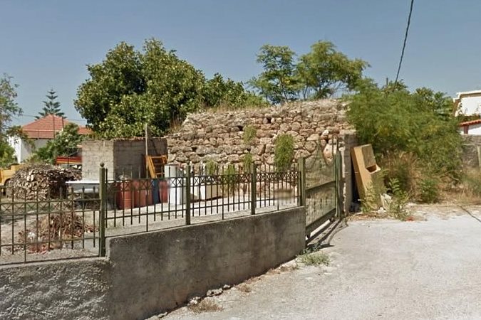
older picture of the SE side from Google Street
THE END
| Location: |
| Inside the town Drosia, near Chalkis |
| Region > Prefecture: |  |
| Central Greece Euboea | |
| Municipality > Town: | |
| City of Chalkis • Drosia | |
| Altitude: | |
| Elevation ≈ 35 m |
| Time of Construction | Origin | |
| Unknown | FRANKISH  |
|
| Castle Type | Condition | |
| Ruined Tower |
Rather Poor
|
A tower that is preserved at some height, in the town of Drosia, 10 kilometers west of Chalkida. Until 1962 Drosia was named “Chalia”.
History
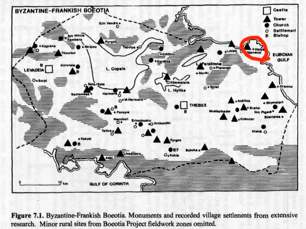
The tower is not mentioned in historical sources. In the bibliography, it is only mentioned in The Boeotia project 1992-93 (Bintliff, 1994) from which the following map with the towers of Central Greece is derived. In this map, almost all the towers are considered Frankish with a small possibility that some of them are Byzantine or Turkish.
We will therefore characterize the tower as “Frankish” without being absolutely sure.
It should be noted that during the Ottoman occupation the area was the estate of a certain Halil Bey, from whose name the old name of Drosia (Chalia) came. Today, the Bey’s mansion is located a short distance from the tower. It has been renovated, and until a few years ago it was the seat of municipality.
The fact that the site was the center of a fief (tsiflik) during the Ottoman period raises the suspicion that the tower may have been Ottoman. However, the stone construction and square shape rather refer to a Frankish tower.
Given that it as a Frankish tower, a possible construction date is sometime in the 13th or 14th century. However, we maintain a small reservation that it may have been built during the Ottoman period (in the first centuries). Another reservation is that it may not be exactly Frankish, but Venetian (in Evia the distinction between Frankish/Venetian is not always clear), as the coast of Chalkida was under Venetian control. And finally, we cannot completely rule out the possibility that it was Byzantine, an assumption that is (perhaps unjustifiably) rarely adopted for the surviving towers of this region.
Structure, Fortification & Buildings
The tower is located in a central location of Drosia (although hidden between properties), on a flat terrain. Although it is not in an elevated position, the site in the past (when there were not many houses) had a good view of the sea area around Chalkida.
The tower is almost square with dimensions of approximately 7.0✖7.5m. The maximum surviving height is 3 m.
On its eastern side there is an entrance opening that has apparently been opened later.
The masonry is not particularly elaborate. Semi-finished stones of various sizes and binding mortar have been used. Most of the stones are large in size, suggesting a medieval construction.
Apparently, in recent years the tower was used as a warehouse (or something like that) and has been maintained poorly. Among other things, we observe brick patches in the masonry.
Sources
- Bintliff, John (1994). The Boeotia project 1992-93. Department of Archaeology, University of Durham. Fig.7.1.
- Photos and research (July 2025): Yohannes Dedes
- Info by Charalampos Papadopoulos.
| Access |
|---|
| Entrance: |
| Free access |