Ktyponisi, Chalkis, Euboea,Central Greece
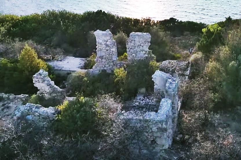
Tower of Ktyponisi
| Location: |
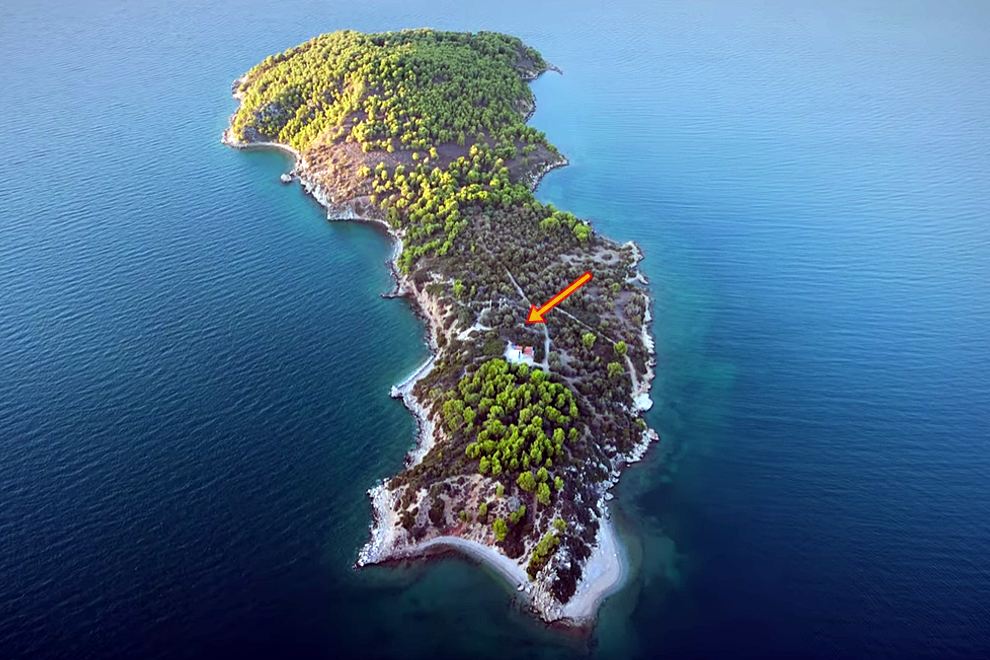
| On the islet Ktyponisi offshore the beach of Drosia in Chalkis area |
| Region > Prefecture: |  |
| Central Greece Euboea | |
| Municipality > Town: | |
| City of Chalkis • Ktyponisi | |
| Altitude: | |
| Elevation ≈ 12 m |
| Time of Construction | Origin | |
| perhaps 6th cent. AD | BYZANTINE  |
|
| Castle Type | Condition | |
| Ruined Tower |
In Ruins
|
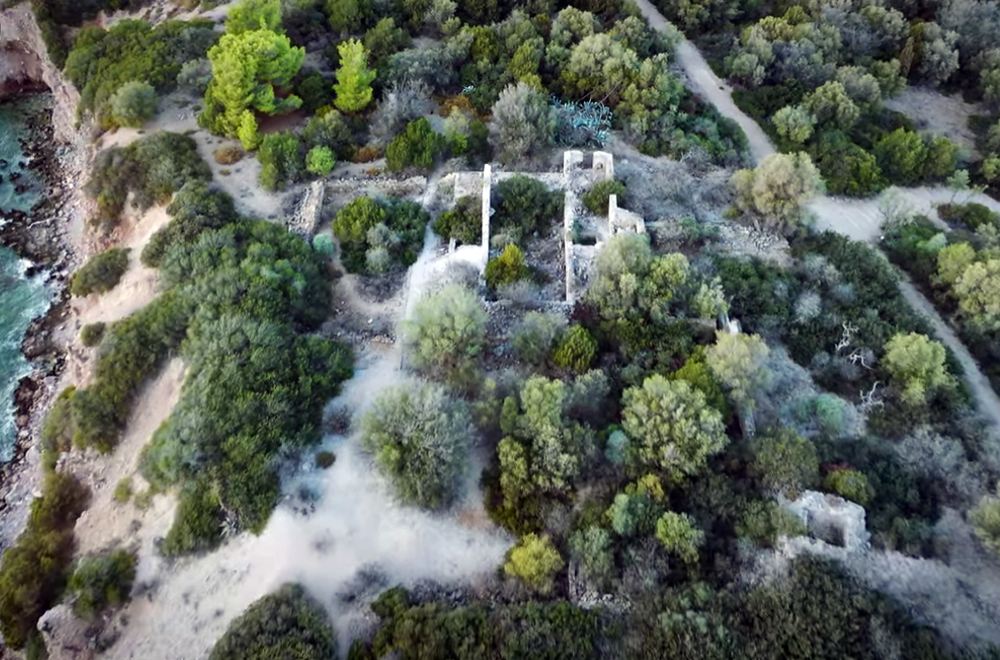
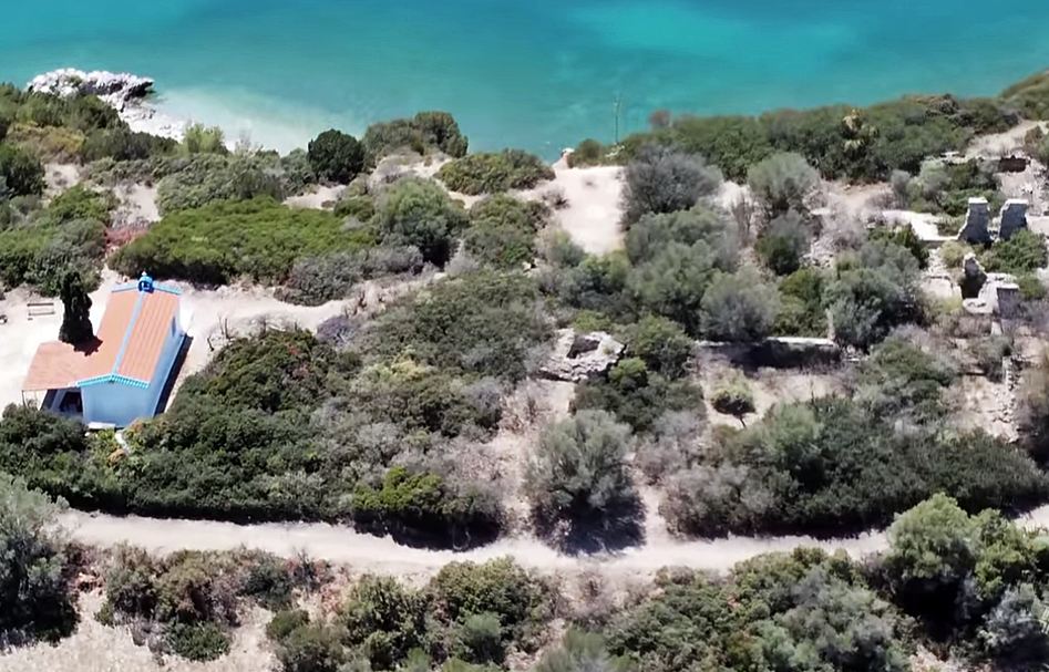
Ruins of a small tower on the islet of Ktyponisi off the beach of Panagitsa - Drosia, in the region of Chalkida (but from the side of Central Greece – outside of the island of Evia).
The Name of the Castle
The island is also known by the names Chtyponisi, Gaidaros, Egglezonisi and - in the past - Agios Nikolaos. The official name, however, is “Ktyponisi”, which apparently comes from Mount Ktypas on the opposite coast, to the south.
History
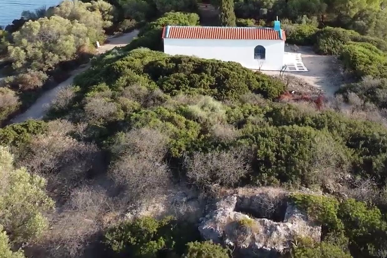
On the island, which is uninhabited, there are the ruins of a villa from the interwar period, a renovated chapel of Agios Nikolaos and among them the tower, along with some findings dating back to the 6th to 7th centuries AD, such as a water tank.
In 1930 the islet was rented to the English archaeologist Francis Turville-Petre, who in 1931 built a villa there and lived for a few years in Ktyponisi (hence the name “Egglezonisi”). The villa was bombed by the Germans during World War II and destroyed. (Now, why the Germans went to the trouble of bombing a villa in a deserted place raises some questions, but this is not the place to discuss this.)
The tower is unknown in the bibliography and historical sources. The only reference to it is by the French cartographer Jean-Pierre-Eugène-Félicien Peytier (1793-1864), who, at the request of Ioannis Kapodistrias to the French government, came to Greece and, as a member of the French Scientific Mission between 1829-1832, mapped the Peloponnese. He returned to Greece in 1833 and continued with the mapping of Central Greece and Evia. In the context of that research, he noted the existence of a tower on the islet of Agios Nikolaos.
This reference by Peytier is the only reason we include the tower in the Kastrologos even though we have no other information about it.
Sources
- Article Geographical Positions of the Principal Points of Eastern Greece , determined by the triangulation of Monsieur Pettier, Capitaine d’Etat Major. Communicated by Captain H. G. Hamilton, Royal Navy στο The journal of the Royal Geographic Society of London. Volume 8, 1838.
- Video by the user ΘΑΝΑΣΗΣ ΧΕΡΟΥΒΕΙΜ ΕΓΓΛΕΖΟΝΗΣΙ
- Video by the user CHRIS.P - LifeAfterGravity Εγγλεζονήσι - Το Νησί Παράδεισος του Francis Turville-Petre
- Info: Alekos Kodulis
| Access |
|---|
| Entrance: |
| Free access (by boat). |