Alyki, Thebes, Boeotia,Central Greece
Ancient Tifa
or Ancient Sifai
1
2 / 18
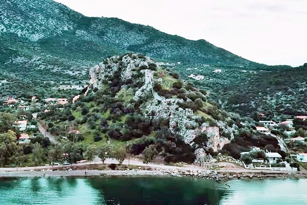
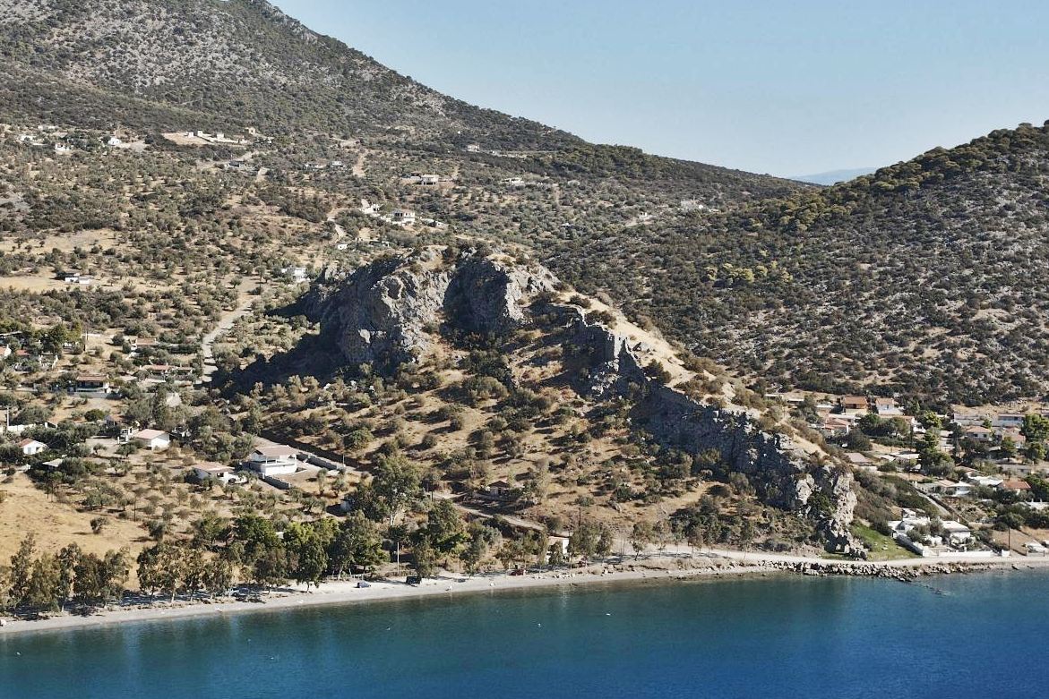
the hill from the sea (from the west)
3 / 18
4 / 18
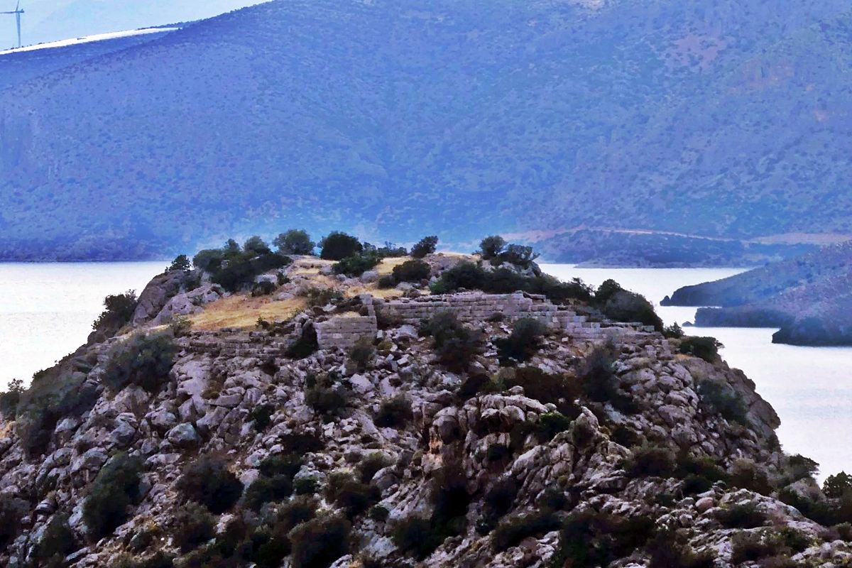
the top of the castle from the east
5 / 18
6 / 18
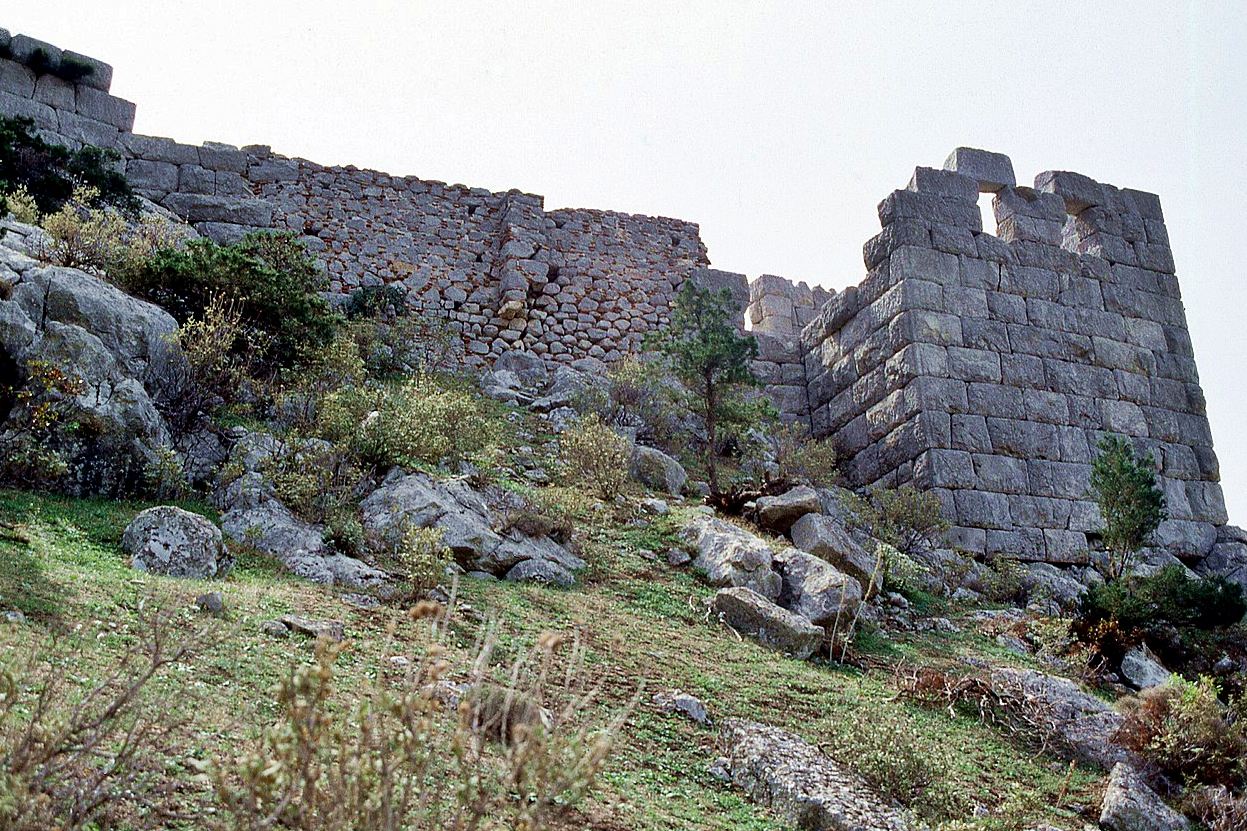
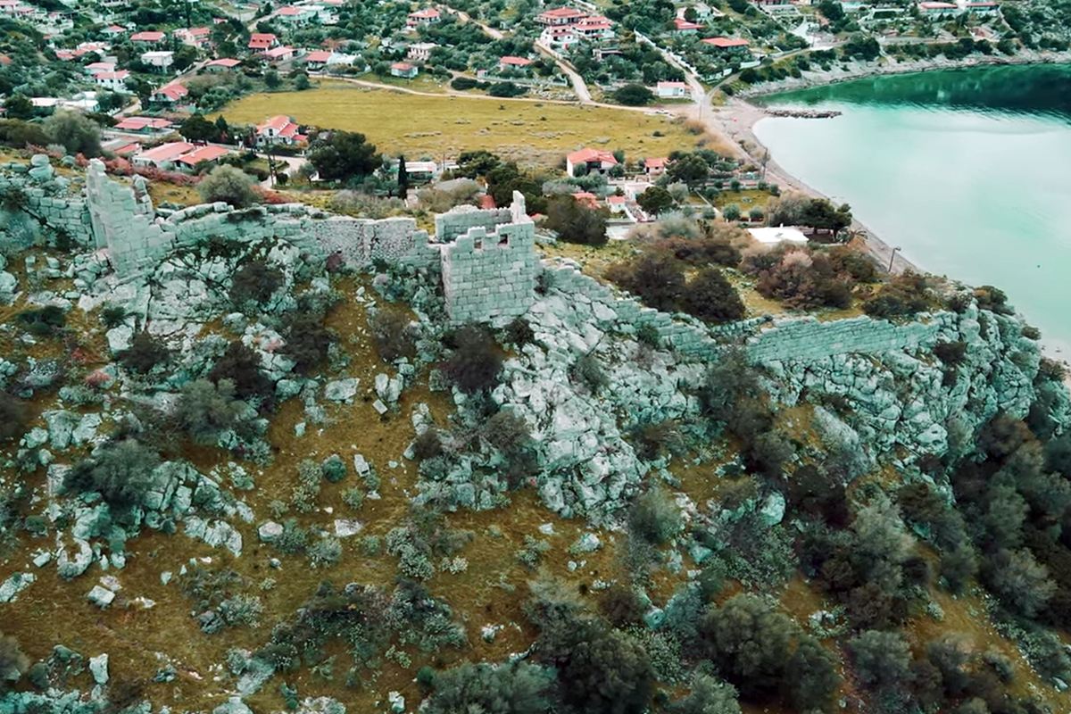
part of the west wall with obvious medieval additions
7 / 18
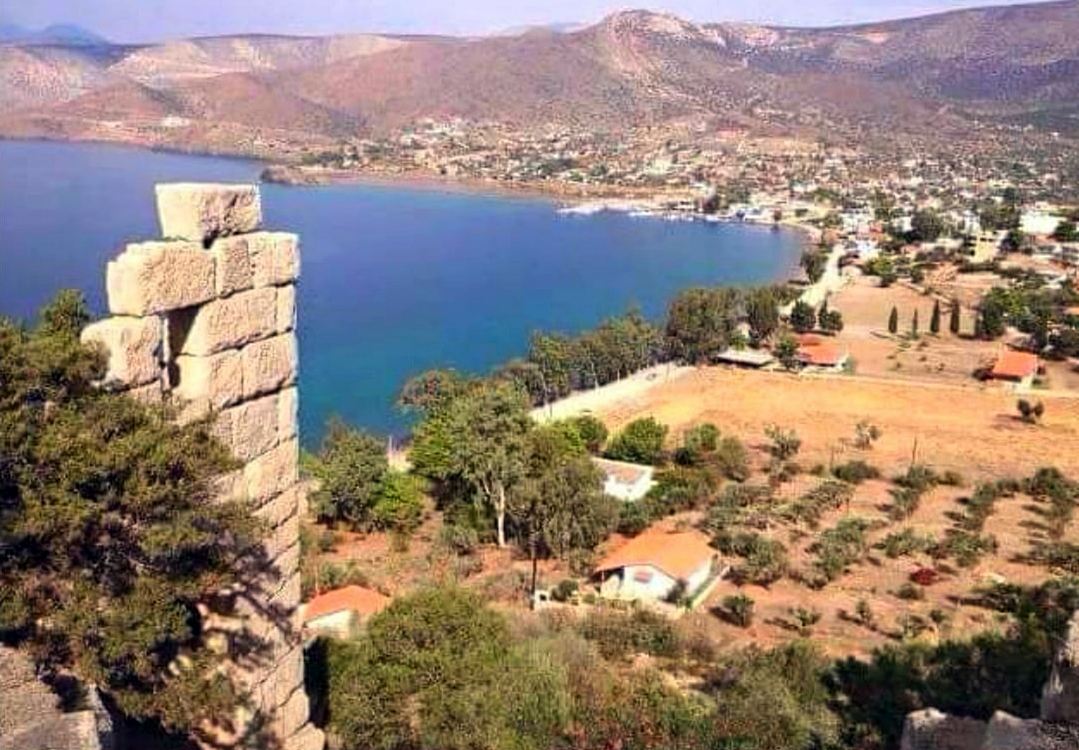
8 / 18
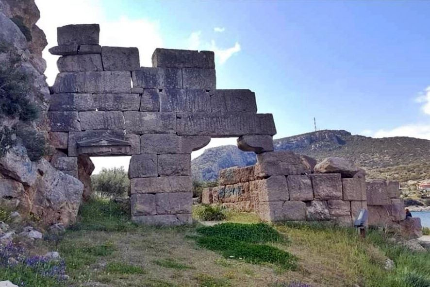
the gate at the western side (low, near the sea)
9 / 18
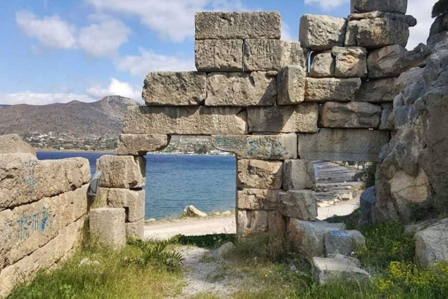
the gate at the western side from the inside
10 / 18
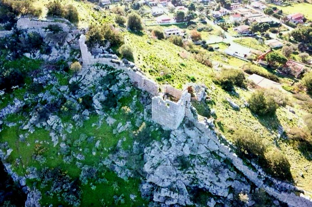
11 / 18
12 / 18
13 / 18
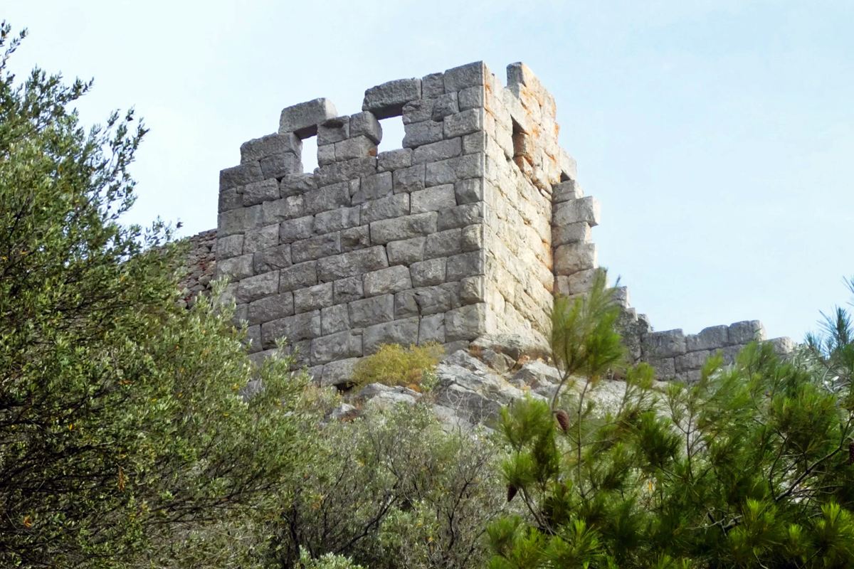
ancient tower in the middle of the western wall
14 / 18
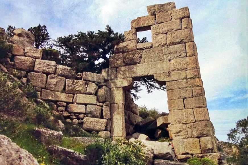
the gate to the upper part
15 / 18
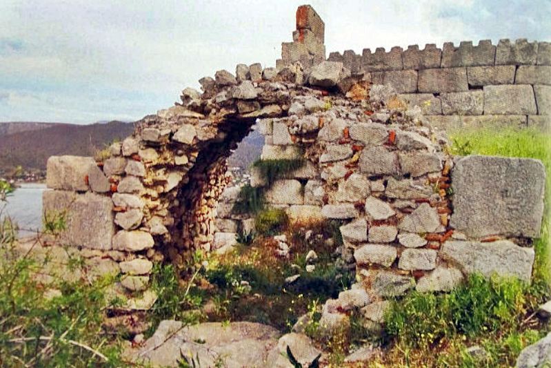
vaulted structure, probably a medieval cistern
16 / 18
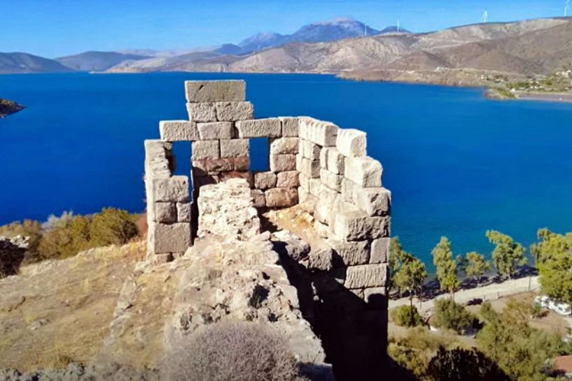
ancient tower in the middle of the western wall
17 / 18
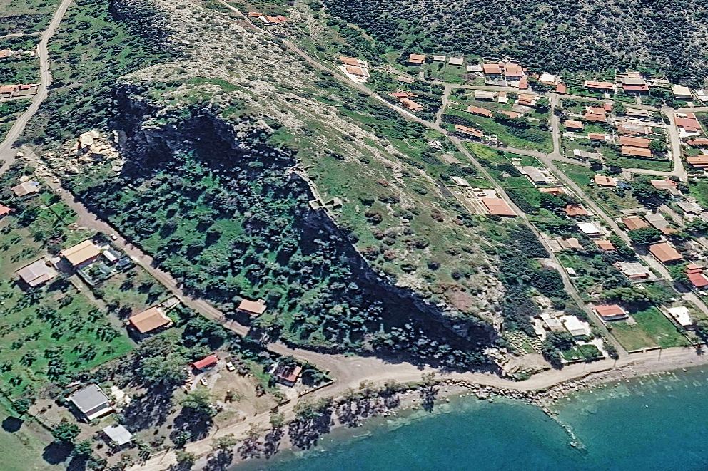
18 / 18
THE END
| Location: |
| On a rocky hill at the east side of Domvrena gulf in the coast of Boeotia, south of Alyki |
| Region > Prefecture: |  |
| Central Greece Boeotia | |
| Municipality > Town: | |
| City of Thebes • Alyki | |
| Altitude: | |
| Elevation ≈ 50 m |
| Time of Construction | Origin | |
| 4th cent. BC | ANCIENT  |
|
| Castle Type | Condition | |
| Ancient City |
Rather Poor
|
Ancient coastal city of Boeotia with fortifications from the Hellenistic period, which were also used during Byzantine times.
History
The acropolis of Sifai or Tifa is part of the series of Hellenistic acropolises on the coast of the Gulf of Corinth, such as those at Porto Germeno in Attica (ancient Aigosthena), Livadostra (ancient Kreusis), Prodromos (ancient Korsiai) and Zaltsa (ancient Voulis).
Tifa was a port of Thespians, as was Kreusis (Livadostra).
According to mythology, Tifa was the birthplace of Tifys, who was the pilot of Argo during the Argonauts’ expedition. An annual festival was held in his honor at Tifa.
The traveler Pausanias, in the 2nd century AD, saw the city from afar, from a ship sailing the Corinthian Gulf, and includes a description in his Boeotica.
Beyond the myths, the existence of ancient Tifa is documented by the oldest pottery found in the area, which shows an uninterrupted presence from the Early Helladic to the Late Helladic era, covering the 3rd and 2nd millennia BC.
It is estimated that as early as the 6th century BC, the city was under the sovereignty of the city-state of Thespiae, constituting one of its ports on the Corinthian Gulf. Tifa is also briefly mentioned in the history of the Peloponnesian War, as in 424 BC, as Thucydides recounts, Sifai was chosen by the Athenians, along with Delium (Dilesi) and Chaeronea, as bases for a coordinated attack against Boeotia from three different directions—a plan that ultimately failed.
Tifa’s heyday was the 4th century BC, that is, at the end of the Classical and the beginning of the Hellenistic eras. It was then that its fortification was built, a large part of which survives to this day. At the same time, the urban fabric that extended south and east from the rock also developed.
The layout of both the fortification and the city remained basically unchanged during the Roman and Early Byzantine periods, although the details of its history for this period remain unknown.
In the late 5th century AD, the Byzantine scribe Stephanos Byzantios includes the city in his geographical dictionary Ethnika as “Sifai, a port of Thespian”, an entry in the present tense that shows that it was still inhabited at that time. However, it is not included in Hierocleos’ Synecdemus with all the Byzantine cities of the 6th century.
In the following centuries, the intensity of barbarian invasions in southern Greece, combined with the city’s vulnerability to pirate raids, gradually led to its decline.
However, architectural evidence suggests that the acropolis was used as a fortress also during the Middle Byzantine period, as extensive structural interventions are observed in the ancient walls, with a latest repair date in the 13th century, while within its enclosure are the ruins of a vaulted building (most likely a byzantine cistern) and of a byzantine church.
However, it should be noted that the medieval additions to the fortifications are limited and rather crude. Tifa was never a major medieval castle. It was simply a fortified position where – occasionally perhaps – the ancient fortifications were exploited without ambitions for something more strong.
It is not known exactly when Tifa was abandoned. This event must have occurred at the beginning of the Late Byzantine period, as the city (and its castle) are completely absent from the narratives of the events of the 13th–15th centuries, which are particularly rich in historical testimonies.
Structure, Fortification & Buildings
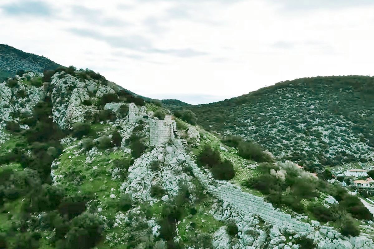
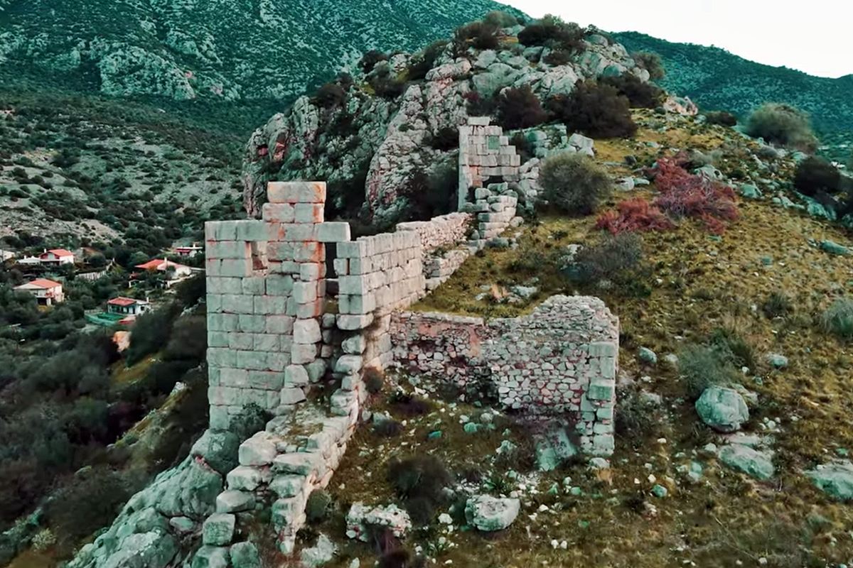
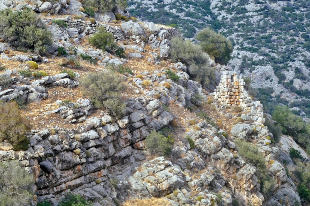
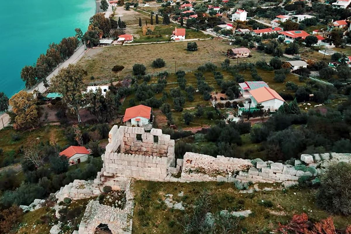
The length of the surviving walls reaches 400m. The best preserved section is on the western side (where the medieval additions are). The fortification does not seem to have surrounded the entire rock, as some sides, such as the northeastern one, are particularly steep.
6 square towers and 3 gates are also preserved.
One of the gates is preserved on the western edge of the hill, low down near the beach (photo 8,9). Another gate led high up to the inner acropolis and was protected by a tower (photo 14).
The walls have been constructed according to the isodomic system of massive processed blocks.
There were also walls in the city below the castle, to the west and south, approximately 300 meters long. Unfortunately, most of this fortification has been destroyed, while part of it is under the sea. We can see some traces of these walls (some under water) while the foundations of a tower are also spotted.
Sources
- Γεώργιος Λόης (2025), ΑΚΡΟΠΟΛΗ ΑΡΧΑΙΑΣ ΤΙΦΑΣ ΣΙΦΩΝ, Περιοδικό Στρατιωτική Ιστορία, Εκδόσεις Γκοβόστη, τεύχος 340, Δεκέμβριος 2025
- Video by the user blackdim Ακρόπολη Αρχαίων Σιφών στην Αλυκή Βοιωτίας | 4k (2022)
- Website ΟΔΥΣΣΕΥΣ - Greek Ministry of Culture – Ακρόπολη Αρχαίων Σιφών στην Αλυκή
| Access |
|---|
| Entrance: |
| Free access |