

Perama, Perama, Piraeus & Islands,Attica
Fort of Perama


| Location: |
| On a coastal hill west of Perama opposite the naval base of Salamis |
| Region > Prefecture: |  |
| Attica Piraeus & Islands | |
| Municipality > Town: | |
| City of Perama • Perama | |
| Altitude: | |
| Elevation ≈ 65 m |
| Time of Construction | Origin | |
| perhaps 13th cent. | FRANKISH |
|
| Castle Type | Condition | |
| Dry-Stone Fortification |
In Ruins
|
A dry-stone fortification on a coastal hill west of Perama, opposite the Salamis naval base.
Location & Strategic Scope
The area is restricted. The visit is possible only with the permission of the Navy and only with an escort.
As can be seen from the photo of the layout, the hill is directly across the Naval station and the port of Salamina. That is, at a strategic point that oversees the strait of Salamis.
According to one theory, Xerxes' throne was placed on this hill for the Persian king to watch the naval battle of Salamis in 480 BC. The location is marked as “Xerxes' Throne” on openstreetmap.org. However, another position, 2 kilometers further east, on a hill with a better view of the entire eastern coast of Salamis, is more widely accepted (but not proven) as a place for Xerxes' throne. It should be noted that in this other location there is also a dry-stone fortification with an unknown history.
History
The history of this fortification is unknown. It has never engaged any researcher (as far as we know) and is not mentioned by any historical source.
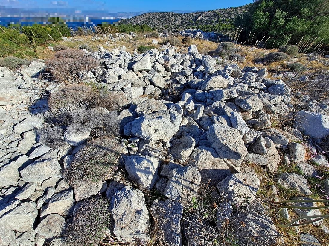
Semi-finished stones have been used in the construction, while no binding mortar or bricks have been used. The construction technique shows that it was not an ancient fortification (the ancients made much more elaborate constructions, with well-shaped stones) nor a Byzantine construction as in this case bricks and binding mortar would have been used.
It is most likely a fortification of the Frangokratia and, more specifically, of the beginning of the 13th century, when the area belonged to the De La Roche family. Especially in the first period of the Frankish rule, when Grand Sir of Athens was the Burgundian Otto de la Roche (1205-1225) the Franks in their attempt to secure their possessions in South Greece, they quickly created several fortifications, without high standards in construction quality, which did not stand the test of time and were not used for long. We find several such fortifications in Argolis and Corinthia (which were also in the territory of the De La Roche) such as the Castle of Mount Escuve, the fort Gyklos etc., with which there are similarities both in terms of the xerolithic construction and in terms of the layout.
All this being said, we should point out that these dry-stone fortifications in Argolis, Corinthia, Attica show several similarities between them and probably belong to the same period, but it is not entirely certain that they are Frankish from the 13th century. But it is the most probable hypothesis.
Structure, Fortification & Buildings
The shape of the fort is something between a pentagon and a circle with a diameter of 45m.
The perimeter of the walls is approximately 145m which encloses an area of 1500 sq.m.
In the center of this area are the ruins of a circular building with a diameter of 5m approximately where the central tower was apparently (photo 1). In the northern corner, the foundations of another tower can be seen (photo 8), while near it on the eastern side of the fort there were two other towers (photos 6,7), close to each other, which means that they probably protected a gate.
The ruins of the fort are preserved at a very low height and most of them are stone piles. But the outline of the fortification is clearly visible.
| First entry in Kastrologos: | November 2023 |
Sources
- Info and photos by Γιώργος Πρίμπας (November 2023)
- Info by Ιωάννης Δέδες
|
|
| Access |
|---|
| Entrance: |
| The access is restricted; this is a military zone. |
| Similar |
|---|
| Castle of Alataria |
| Castle of Mount Escouve |
| Gyclos Fort |
| Larisi castle |
| Fort of Zarakas |


