Amfipoli, Amfipoli, Serres,Central Macedonia
Byzantine Amphipolis
1
2 / 18
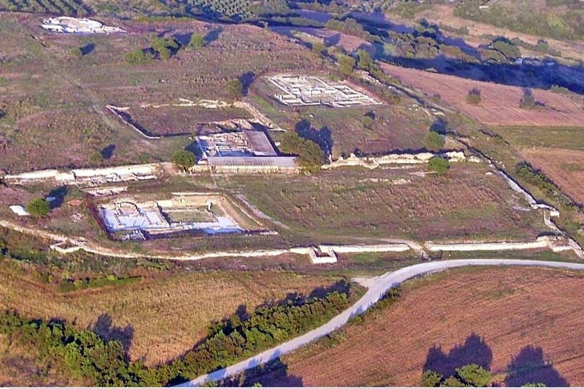
general view from the south
3 / 18
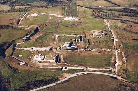
general view from the west
4 / 18

southwest side
5 / 18
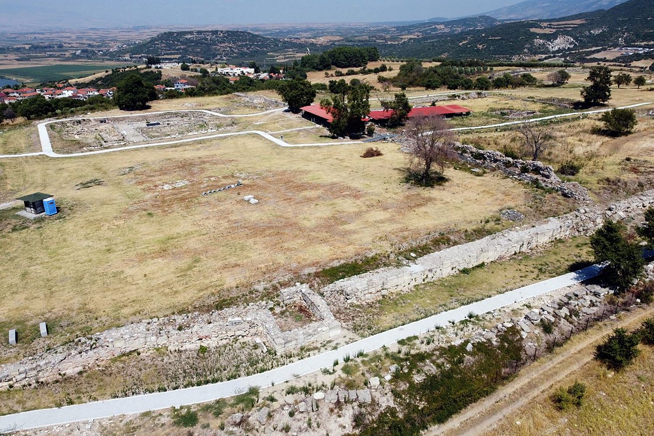
south side
6 / 18
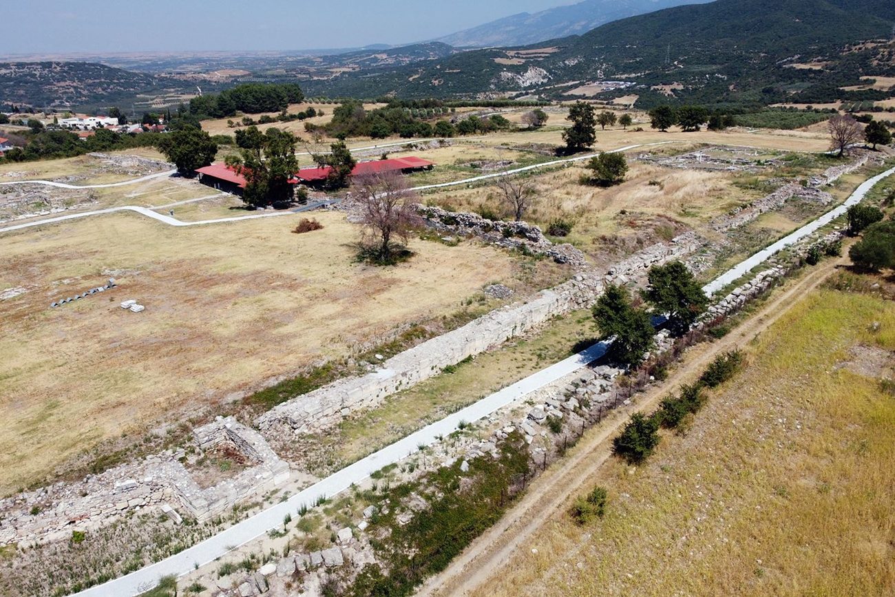
south side
7 / 18
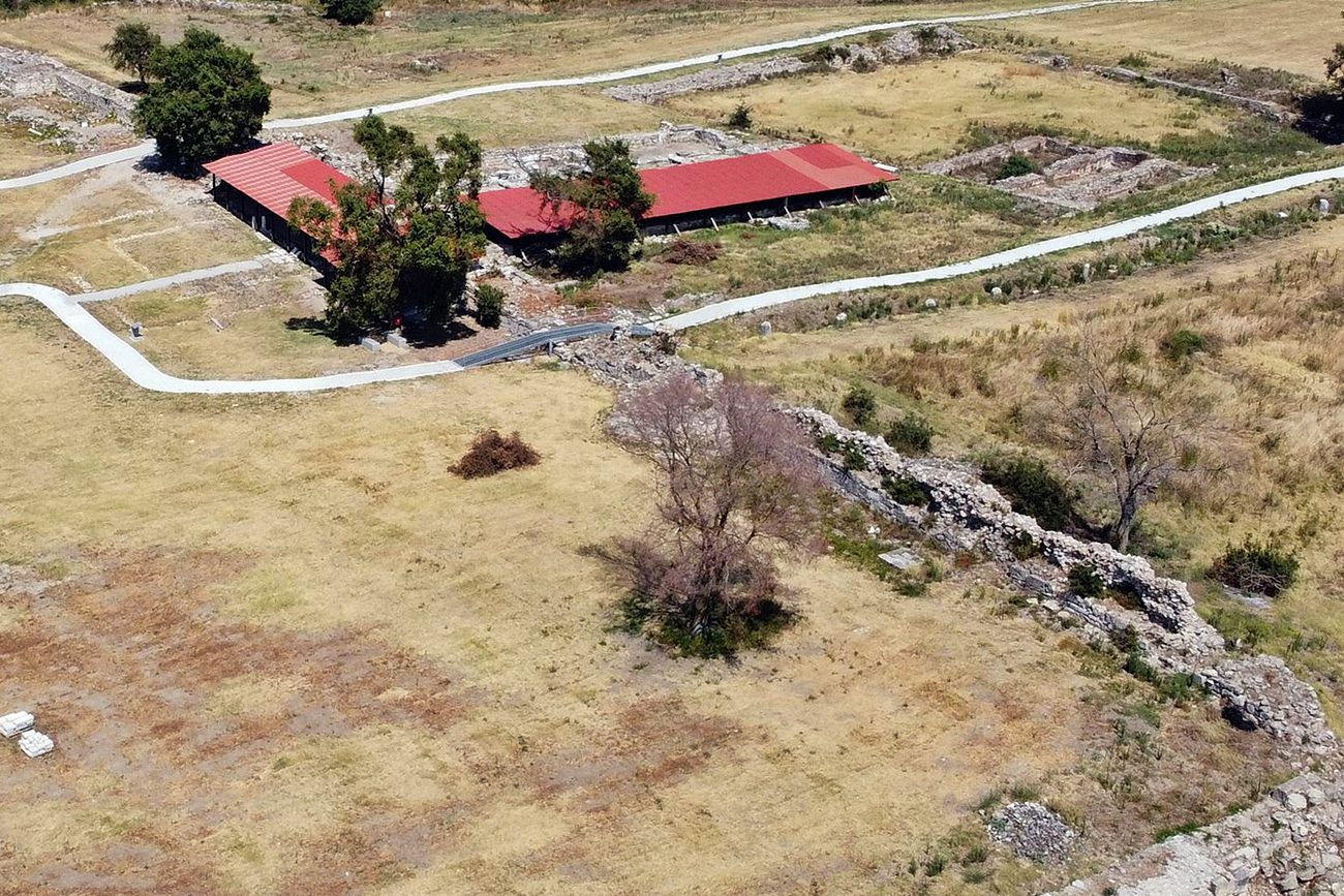
8 / 18
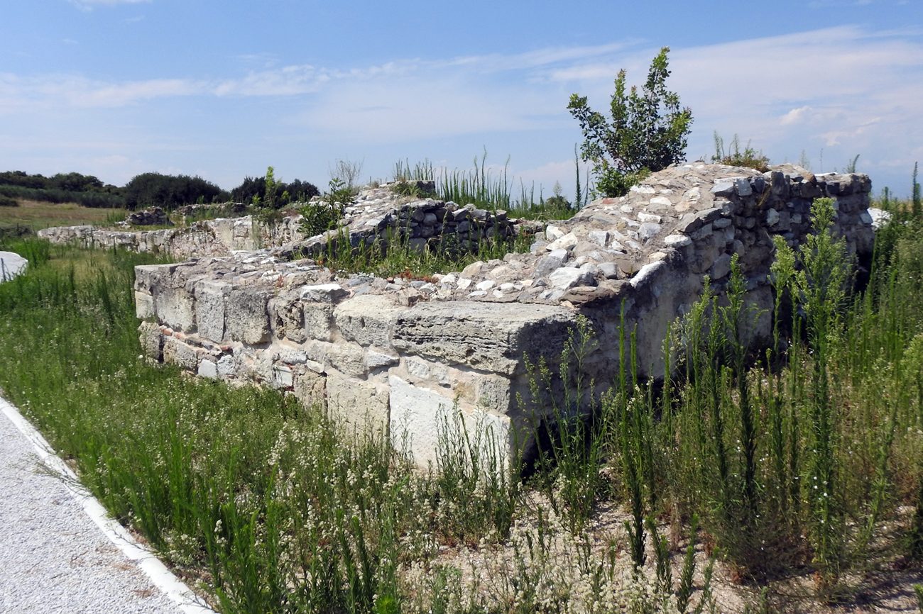
the tower at the middle of the south side
9 / 18
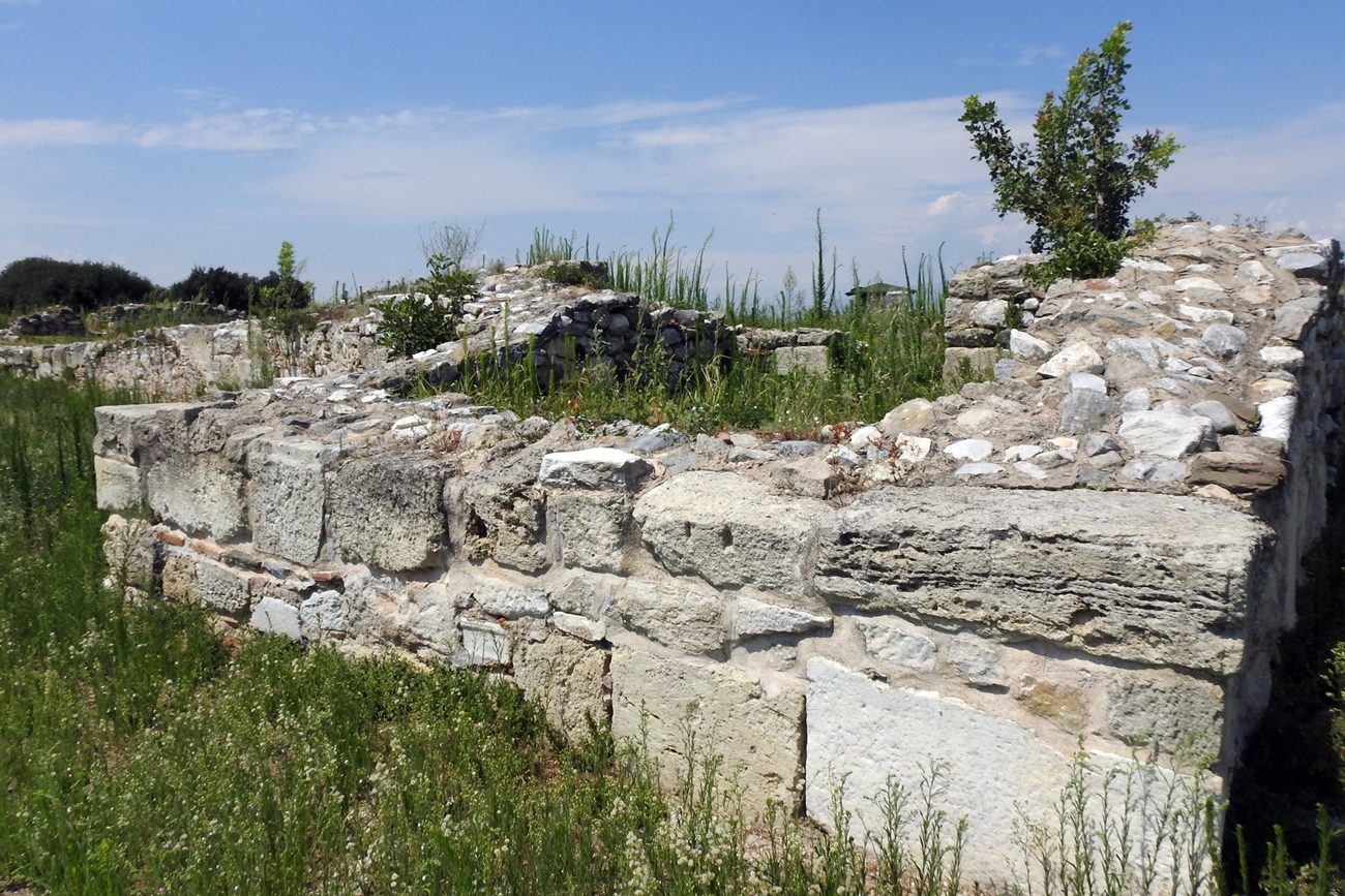
the tower at the middle of the south side
10 / 18
11 / 18
12 / 18
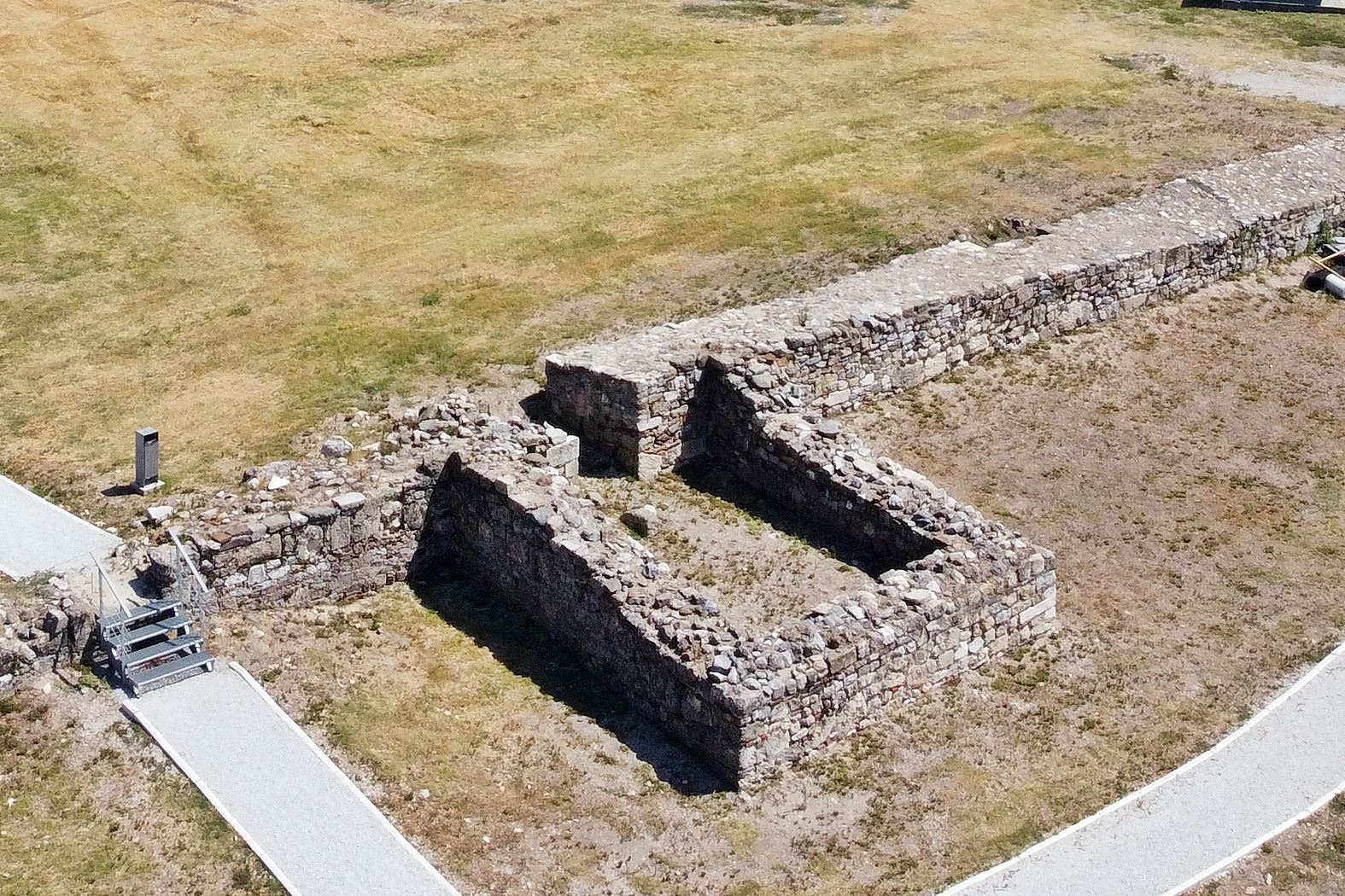
13 / 18
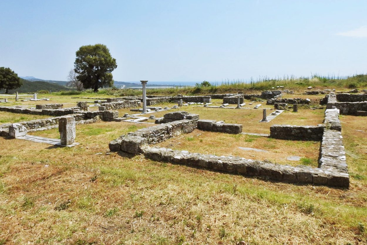
Basilica Δ
14 / 18
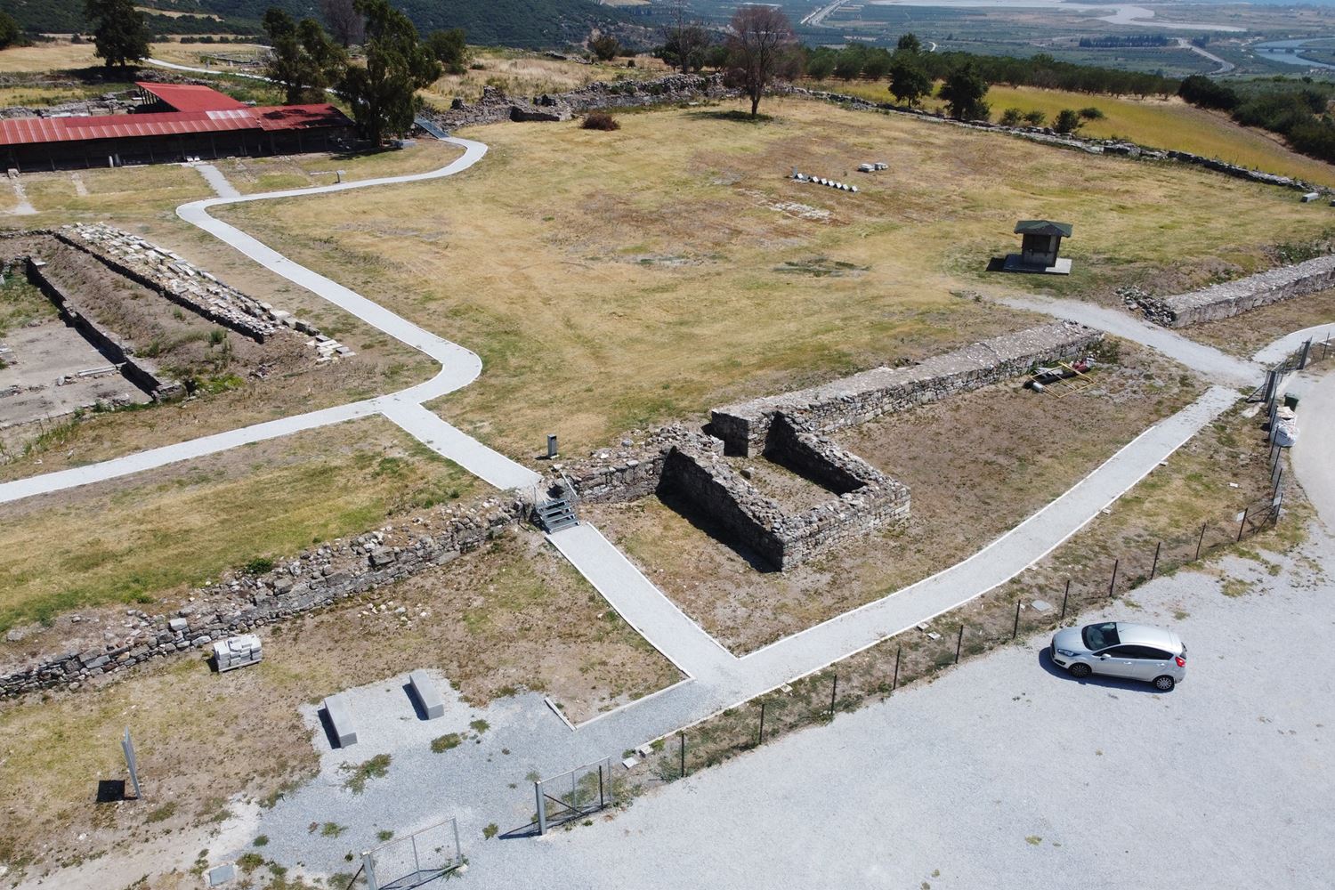
view from NW
15 / 18
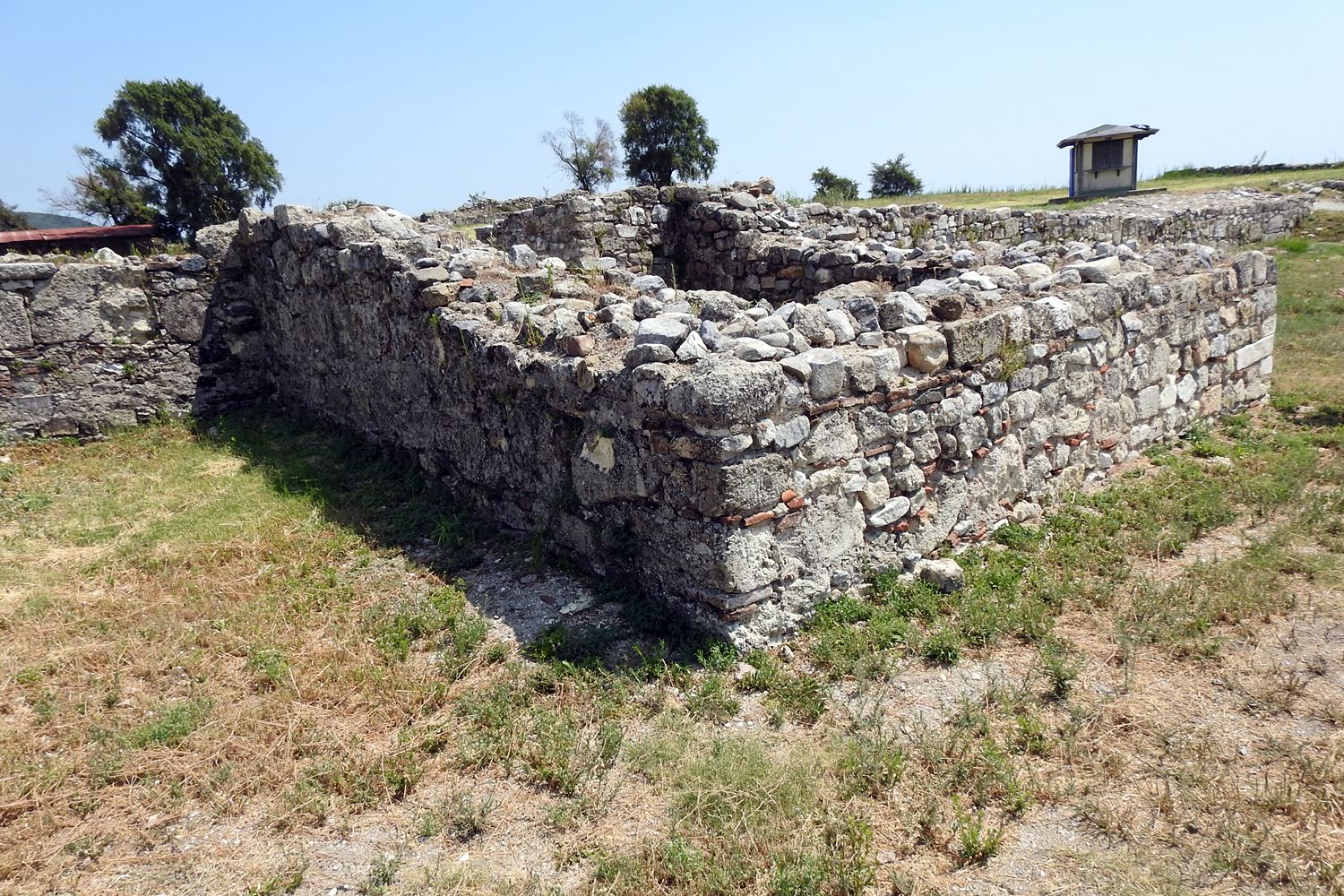
tower of the western side
16 / 18
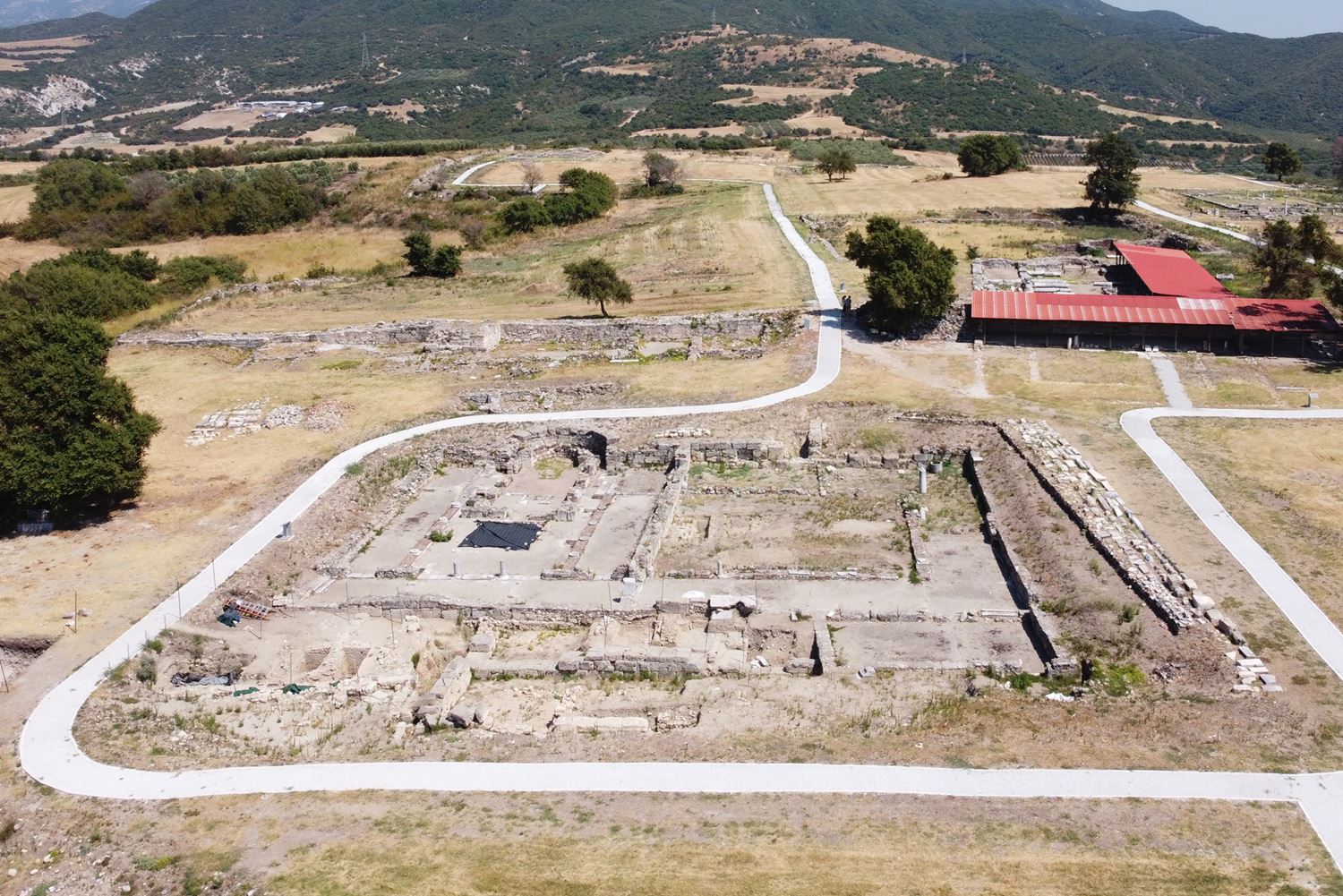
Basilica Γ
17 / 18
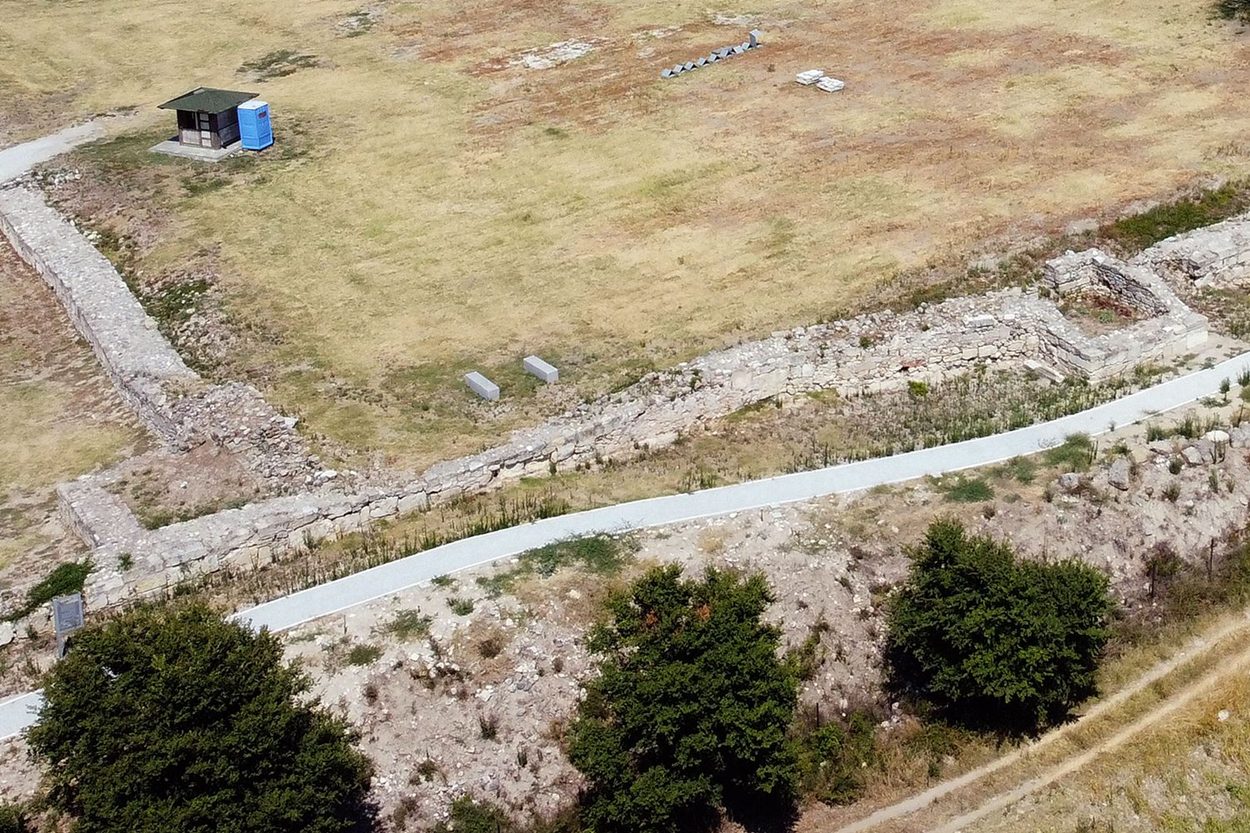
18 / 18
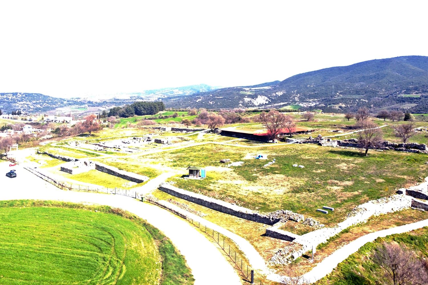
THE END
| Location: |
| On the flat top of a hill south of modern Amphipolis in Serres prefecture |
| Region > Prefecture: | 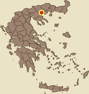 |
| Central Macedonia Serres | |
| Municipality > Town: | |
| City of Amfipoli • Amfipoli | |
| Altitude: | |
|
Elevation ≈ 125 m (Relative Height≈40 m) |
| Time of Construction | Origin | |
| 6th cent. | Early ΒΥΖΑΝΤΙΝΕ  |
|
| Castle Type | Condition | |
| Ancient City |
In Ruins
|
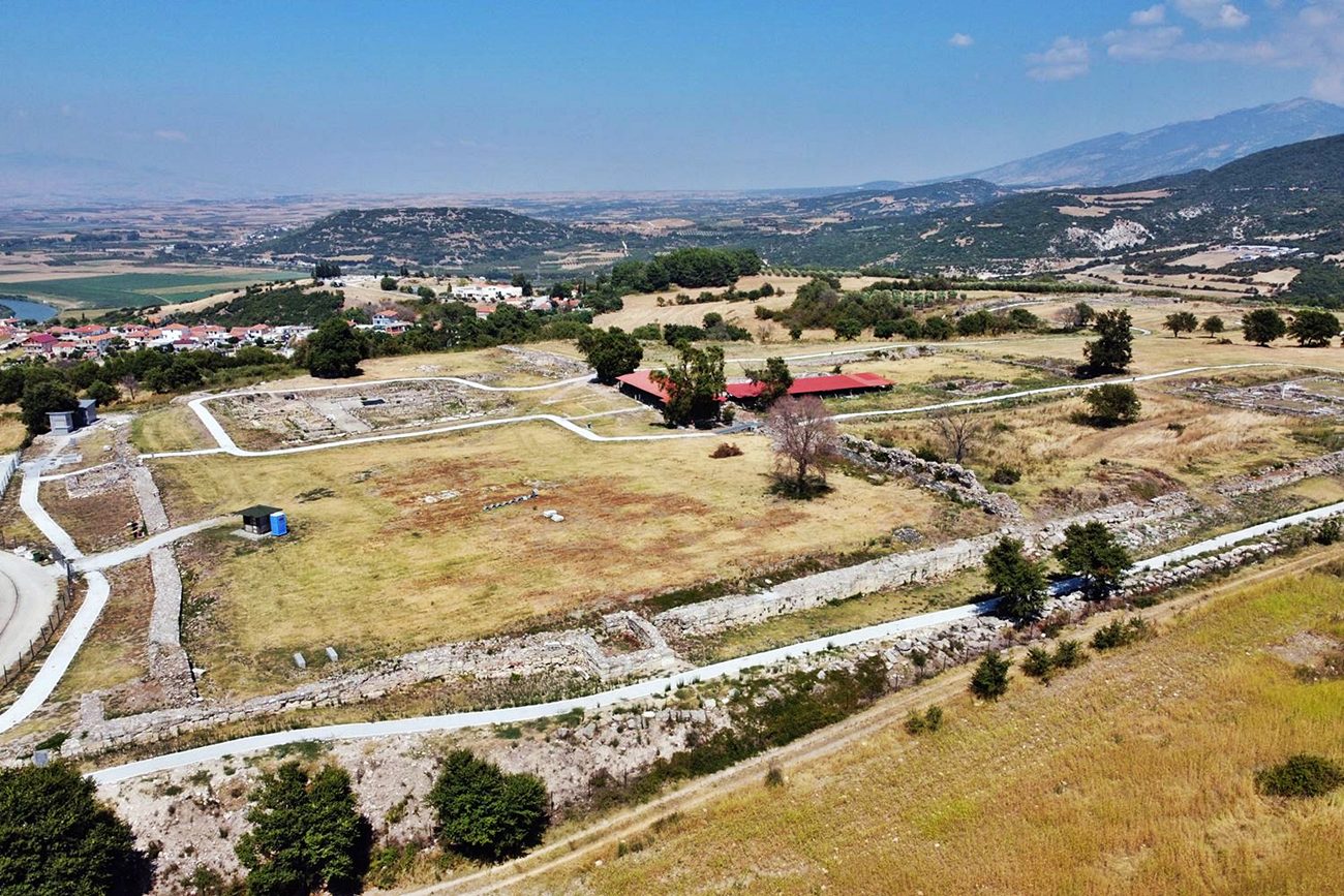
In Amphipolis there is a huge archaeological site with numerous elements: ancient walls, agora, aqueduct, tombs, sanctuaries, houses, the Kasta hill, etc.
A small part of this area is occupied by the acropolis of the ancient city, in which during the Early Byzantine Period the fortified Byzantine settlement of Amphipolis was developed.
History
Amphipolis was founded by the Thracian tribe of the Idonians and was originally known as “Nine Roads”, a name mentioned by Herodotus.
In 437 BC, the city became an Athenian colony, when the general Agnon captured it and renamed it Amphipolis, because the Strymon surrounded it on two sides. Its strategic location, fertile plain, the timber of mount Pangaion and especially the rich gold and silver mines explain the intense Athenian interest in the region.
During the Peloponnesian War, Amphipolis was captured by the Spartans. Thucydides’ failed attempt to retake it led to his exile, while in 422 BC, in the Battle of Amphipolis, both the Atheniangeneral Cleon and the Spartan Brasidas were killed. Although the Peace of Nicias provided for the return of the city to Athens, this never happened. In 357 BC Amphipolis was captured by Philip II and incorporated into the Macedonian kingdom.
After the defeat of the Macedonians by the Romans, Amphipolis became part of the Roman Empire in 168 BC. With the Treaty of Amphipolis, Macedonia was divided into four administrative and fiscally self-governing regions, the so-called meridia (partes). The First Part (Macedonia Prima) included the area between the Strymon and the Nestos rivers, with Amphipolis as its capital.
Amphipolis experienced a period of prosperity during Roman times. The ancient Via Egnatia passed through the city, and the Apostle Paul visited and preached there during his second apostolic journey (49-52 AD).
During Late Antiquity, Amphipolis continued to be an important city even though it had shrunk and was confined around the acropolis hill. From that time on, Amphipolis developed into an ecclesiastical center. Monumental Christian churches replaced the numerous ancient sanctuaries, and it became a bishop's seat from the early 4th century, under the Metropolis of Thessaloniki.
The city is mentioned in the Synekdemos of Hierocleos among the 32 cities of the province of Illyricum I.
Although Amphipolis is not mentioned by the historian Procopius, it is believed that the last phase of the fortification dates from the time of Justinian around the middle of the 6th century. In that phase, the final shrinkage of the ancient city occurred, as a large part of it remained outside the Justinian fortifications.
A little later, around the end of the 6th century, the city was destroyed during the raids of the Avars and Slavs. After that destruction, Amphipolis gradually declined and was completely abandoned in the 8th century when most of the inhabitants fled to the nearby coastal city of Ieona (Ἠἐων – the old Athenian colony), which had now been renamed by the Byzantines to Chrysopolis.
Towards the end of the 11th century, Amphipolis reappears in the sources as an insignificant settlement called Popolia which had been captured by the Normans in 1185 as they marched against Constantinople.
It seems that in the early 14th century there was an attempt to re-establish Amphipolis, which is called by its ancient name in historical texts by John Kantakouzenos and Gregoras. (The use of ancient names seems to have been something of a fashion at that time. Gregoras, for example, often calls Adrianople “Orestias”.)
Structure, Fortification & Buildings
In 1975, excavations began at the site of the ancient acropolis of Amfipolis, where until then almost nothing was visible. The work under the supervision of archaeologist Efstratios Stikas began with earth removal and the clearing of vegetation. Gradually, many elements of the Byzantine city were discovered and by 1996 the entire fortified city was uncovered.
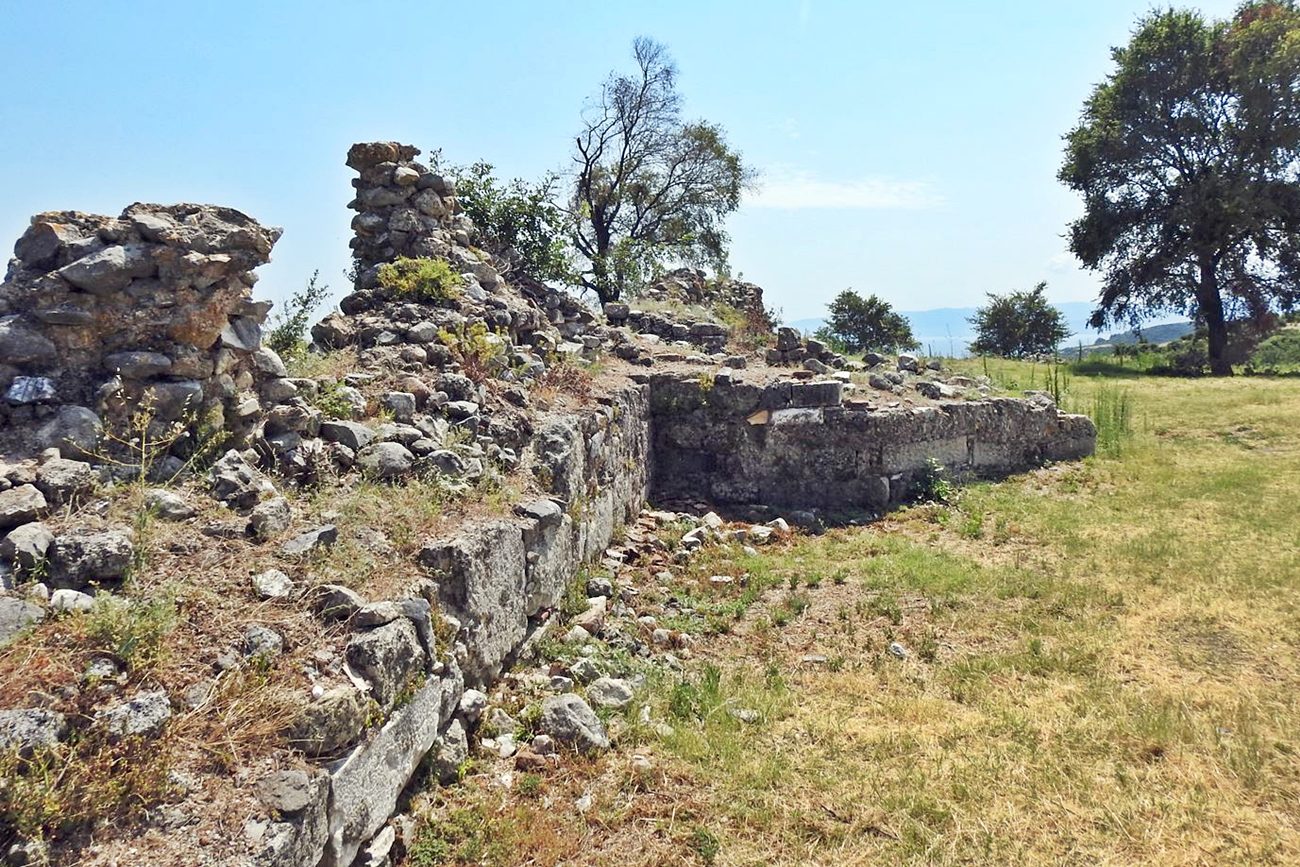
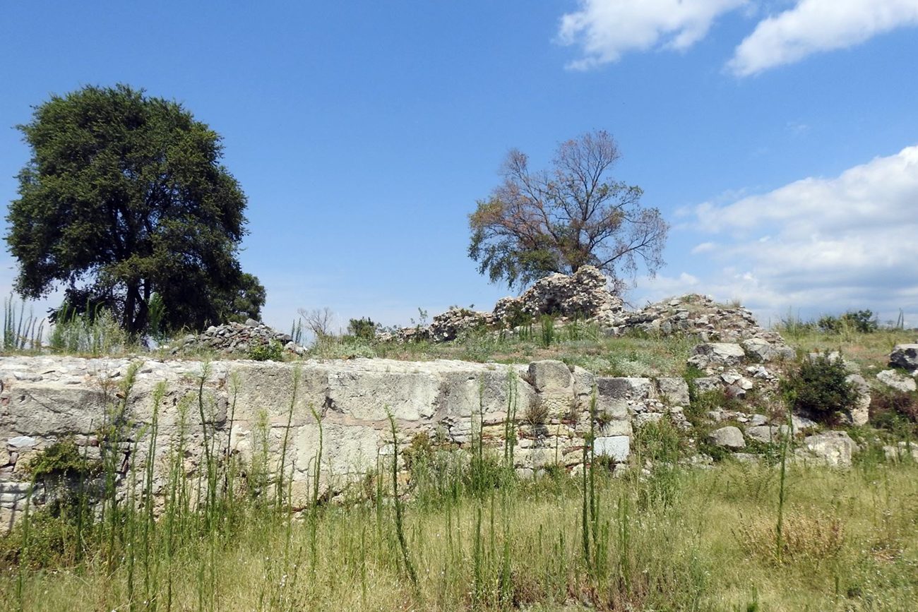
The outer enclosure was partially restored, which today survives at a height of about 1.5m and a wall thickness of 1.65-2.75m. The perimeter of the fortification is 1150m, which encloses an area of almost 6.4 hectares.
The wall is reinforced with 15 towers (at a low height) and an elongated bastion with a projection length of 17m and 6.5m wide.
There are also 2 antidiametric central gates (south and north) and 3 gates (north, west and south)
The wall construction of the enclosure is not uniform, since several interventions and repairs took place in different periods of time. However, it generally consists of large processed limestone blocks for the external sides connected with lime mortar. The gaps in the joints are filled with smaller stones.
The interior of the wall has been filled with loose stones and soil.
Amphipolis stands out for the dense arrangement of monuments, which are part of the urban fabric of the city, but also for the minimal distance between them (one wonders where the houses fit in - they were probably outside the fortifications). Thus, within the fortification enclosure, four basilicas (σA, B, C and D), a pericentric temple and a large cistern were excavated.
The most interesting monument inside is the pericentric temple (rotonda) which was discovered in 1981 after 5 years of excavations. The core of the main temple consists of a hexagon enclosed on all sides except the eastern one by an outer wall in the shape of a ring with a radius of 12m. (hence “rotonda”)
It is one of the few pericentric early Christian temples in Greece.
Sources
- Πέτρος Σαμσάρης, «Βυζαντινοί τόποι και μνημεία της κάτω κοιλάδας του Στρυμόνα. Ο σημερινός νομός Σερρών: συμβολή στη μελέτη της ιστορικής γεωγραφίας και μνημειακής τοπογραφίας της περιοχής» (Διδακτορική διατριβή-2004), , σελ.: 182-213
- Website ΟΔΥΣΣΕΥΣ Υπουργείου ΠΟλιτισμού, Αμφίπολις
- Δημήτρης Λοΐζος, 2025, «ΑΜΦΙΠΟΛΙΣ ΚΑΙ ΑΡΧΑΙΑ ΜΑΚΕΔΟΝΙΑ – Αρχαιολογία, Ιστορία, Πολιτισμός 437 π.Χ. - 1ος μ.Χ. αιώνας»
| Access |
|---|
| Entrance: |
| The site is fenced and guarded. Admission is free, but opening hours are limited. Closed on Sundays and holidays. |