Palaiokastro, Trifylia, Messenia,Peloponnese
Castle of Profitis Elias in Messinia
| Location: |
| At the peak Profitis Elias of the Kontovounia range, about 5 km west of Ancient Messini, in Messinia |
| Region > Prefecture: | 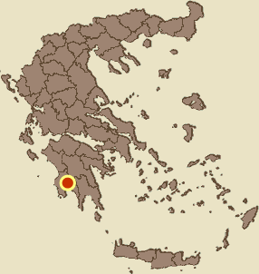 |
| Peloponnese Messenia | |
| Municipality > Town: | |
| City of Trifylia • Palaiokastro | |
| Altitude: | |
|
Elevation ≈ 1006 m (Relative Height≈500 m) |
| Time of Construction | Origin | |
| Unknown | Unknown  |
|
| Castle Type | Condition | |
| Dry-Stone Fortification |
In Ruins
|
Remains of a small fortress of uncertain date on the top of Prophitis Elias in Kontovounia mountain range in Messinia. The fort is located approximately midway between the castle of Saflaouro (3km to the west) and the castle of Manganiako (3km to the southeast), and may have been the connecting link for visual communication between these castles.
The nearest village is Paleokastro (old Xirokassi) about 2.5 km to the southwest. The village is called “Paleokastro” not because of the castle on this page, but because of the castle of Saflaouro, which is also located nearby.
Location & Strategic Scope
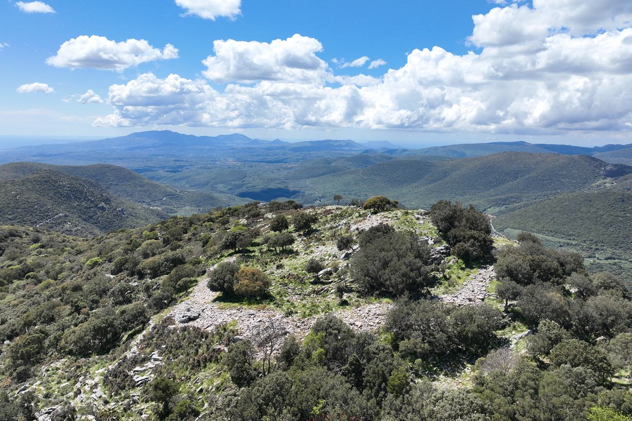
The peak of Prophitis Elias is located in a strategic point with a stunning view, since it overlooks almost the entire Messinia.
To the S it overlooks the entire area up to the Messinian Gulf. To the E it overlooks the Pamisos valley, the mountains of Ithomi and Eva, and the NE plain of Stenyklaros. To the N the valley of Sulimas is visible, up to the area of Apollo Epicurius. To the W there is visual contact with the highest peaks in the Limnes/Mali area, while most of the Tripyli plateau is visible.
The peak of Prophet Elias also controls the mountain passes of the area, which was a significant advantage especially in ancient and medieval times.
History
We do not know the history of this particular fortification nor are we able to suggest an exact dating. It is not identified with any castle known from historical sources.
It is apparently a small military fort whose purpose was to supervise and control the surrounding mountainous area and its passages.
The structure does not appear to be ancient (and certainly not from the Classical Period). It is probably a medieval fortification, although the absence of mortar in the masonry raises questions about it.
Similar drystone fortifications in Messinia – for example the Castle of Saint Floros – are considered by local sources to be perhaps fortifications of the Late Byzantine Period. However, there is no satisfactory evidence for this hypothesis.
The castle is briefly mentioned by the French researcher Antoine Bonn (1969) as follows: “west [of Andromonastiro], halfway from Lanzounato, a 700m peak bears the ruins of a small fortress of indeterminate age, which may date from Antiquity and have been renovated in the Middle Ages”. (The reported altitude of 700m is obviously Bon’s mistake, as the altitude of Profitis Elias is 1006m.)
Structure, Fortification & Buildings
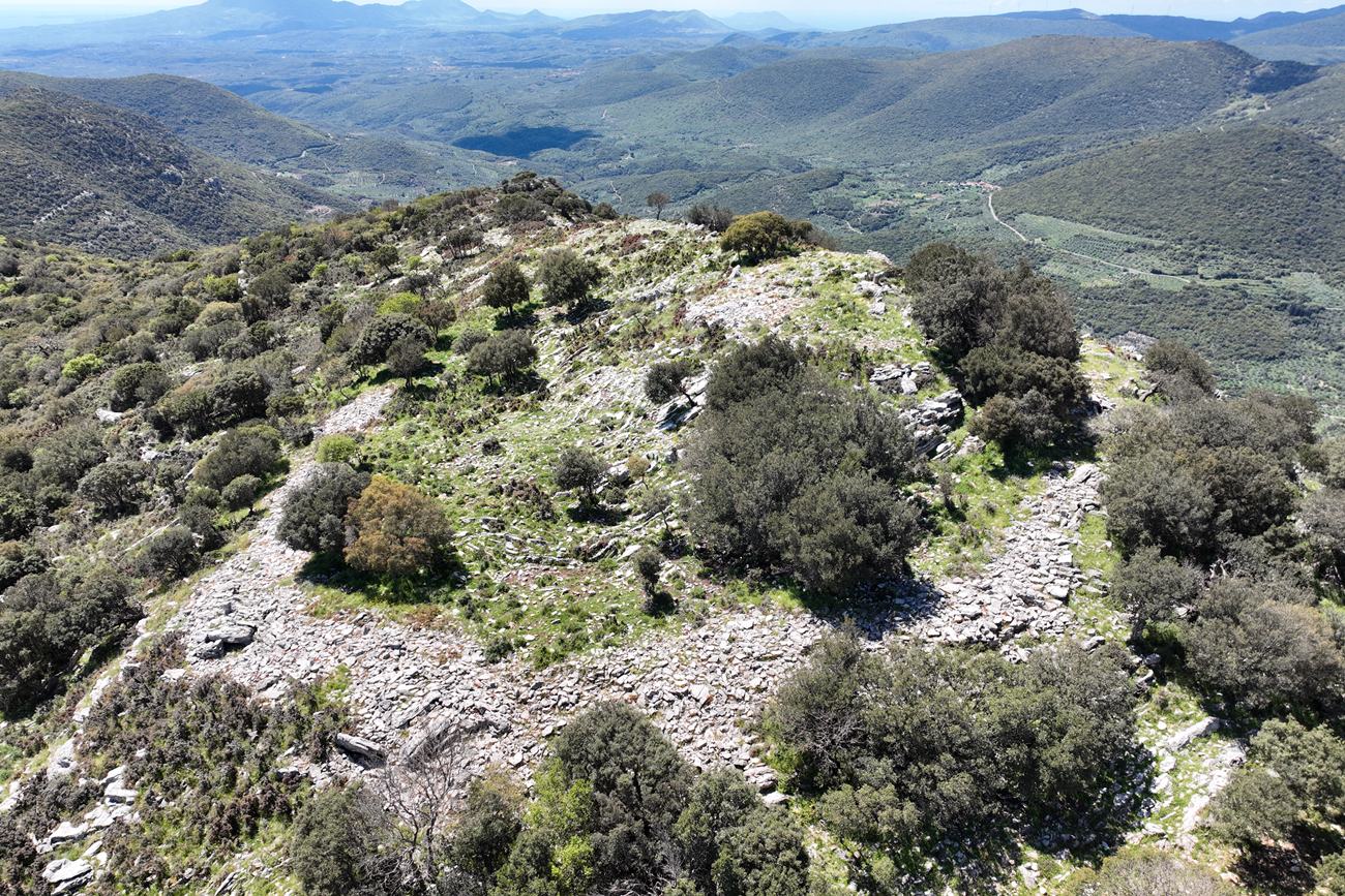
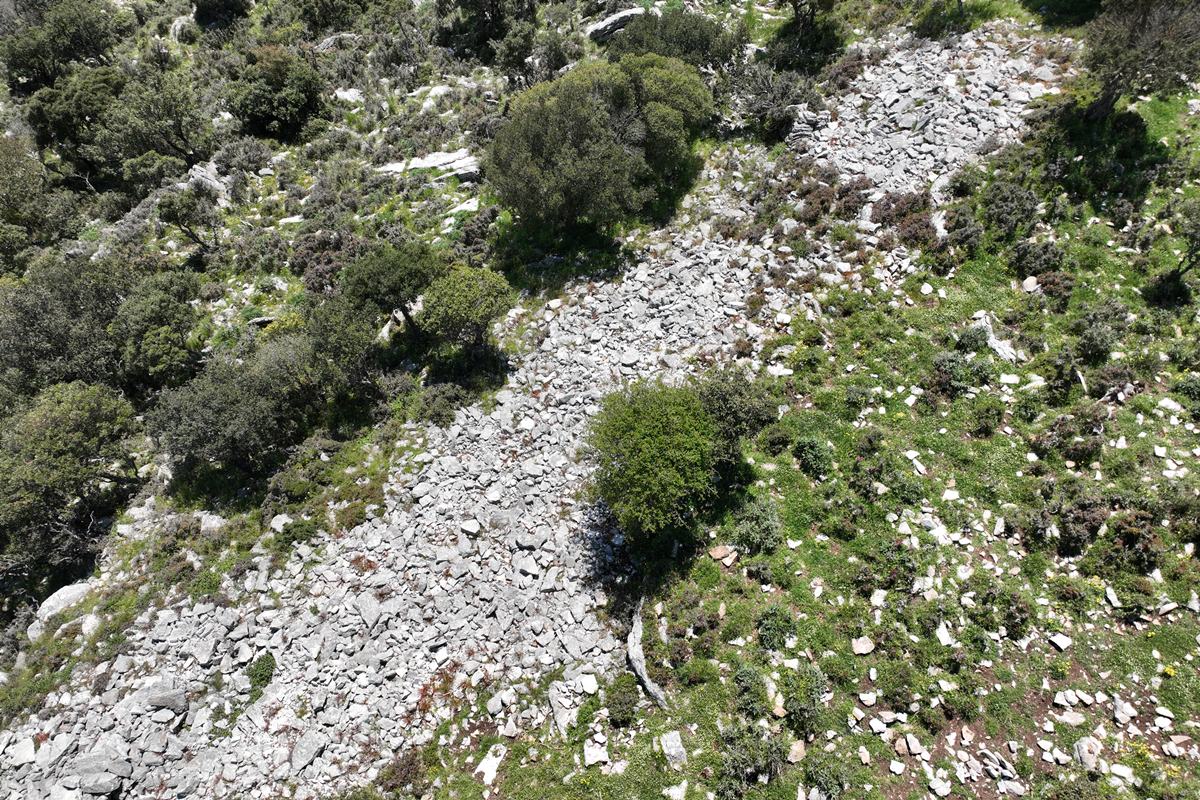
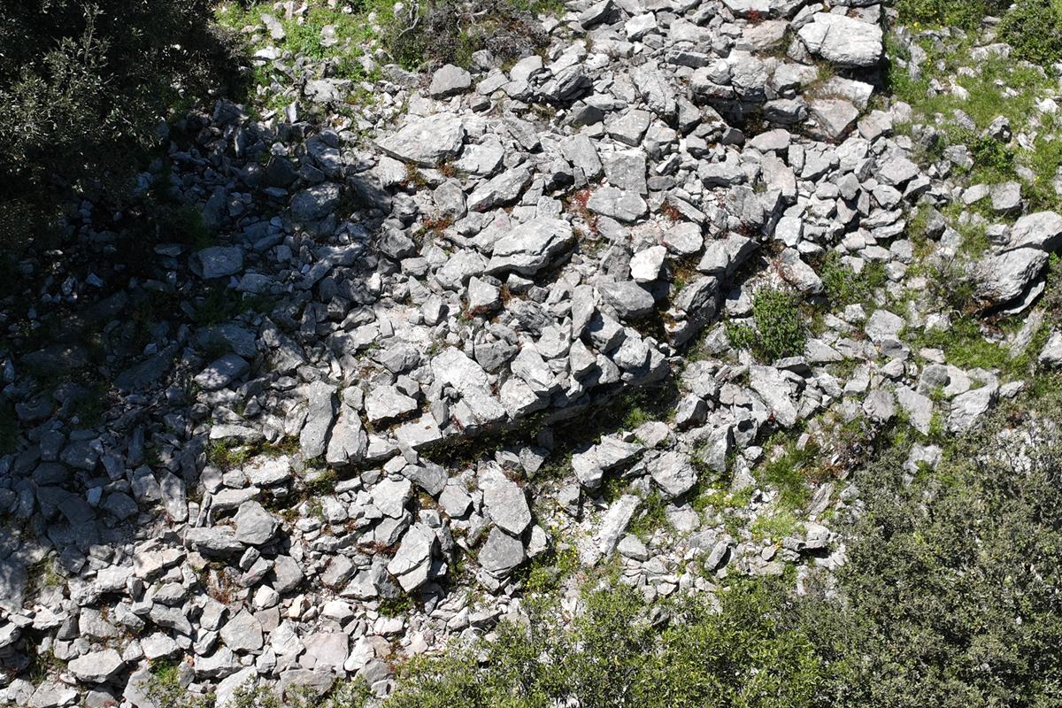
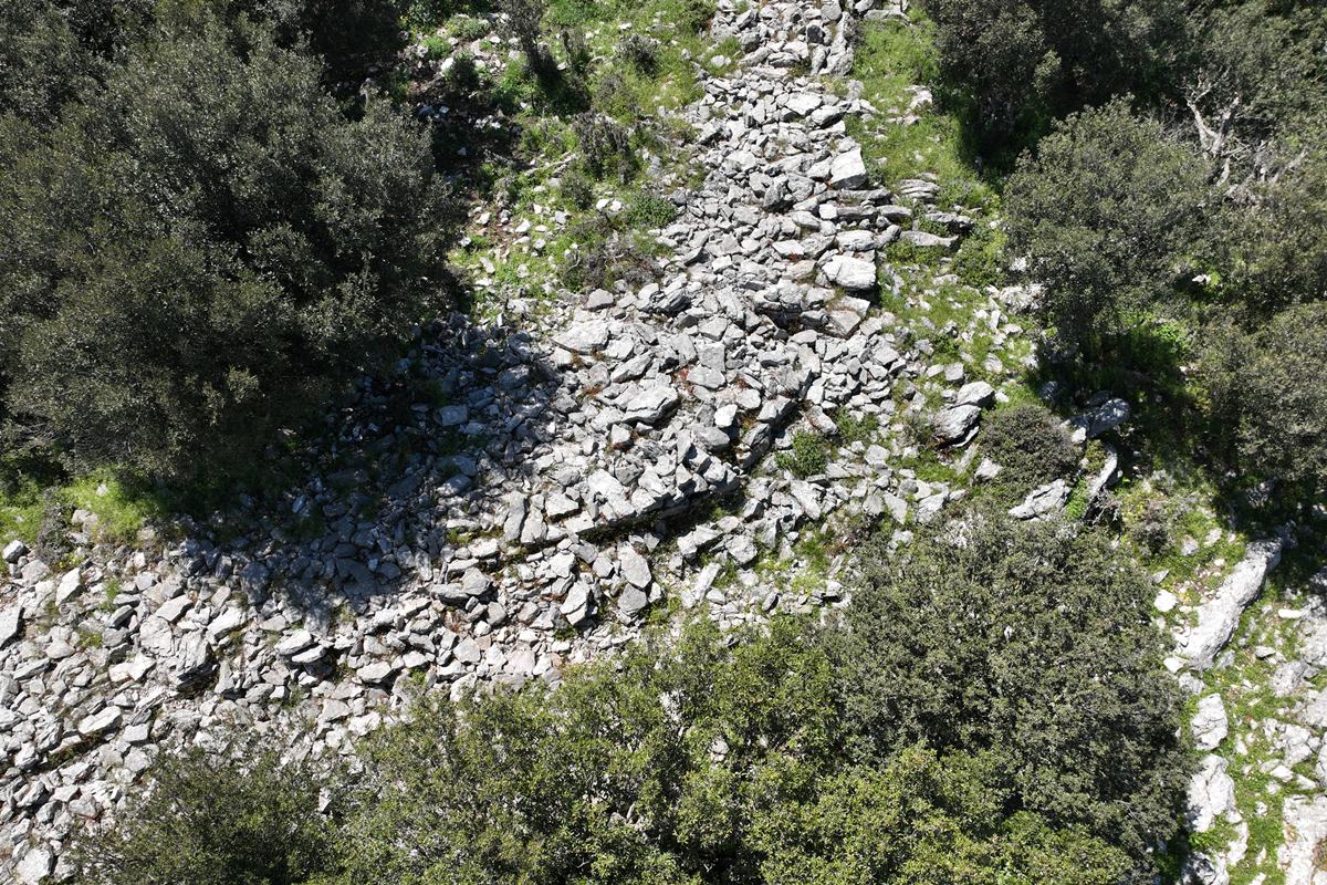
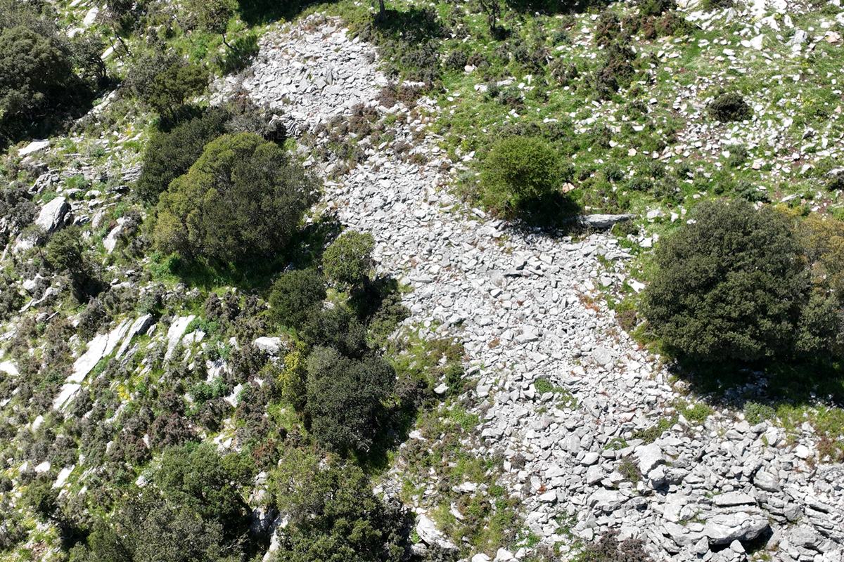
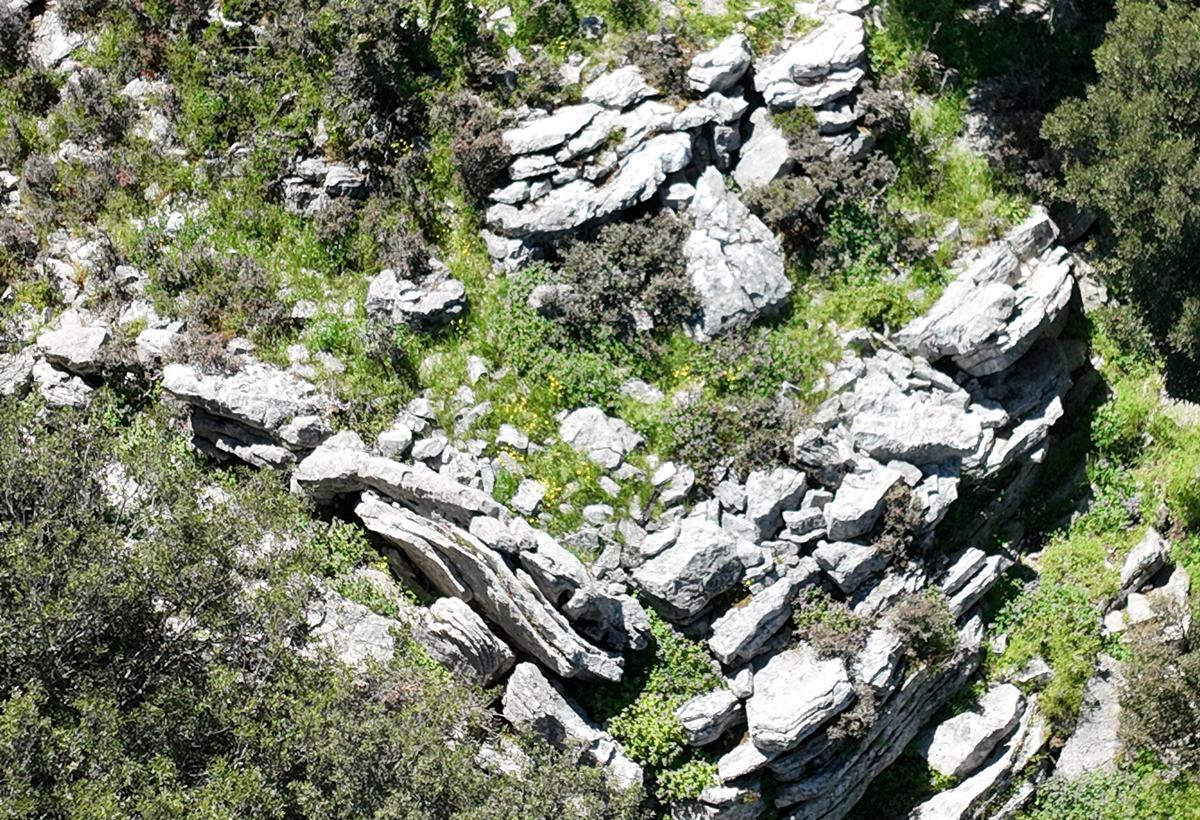
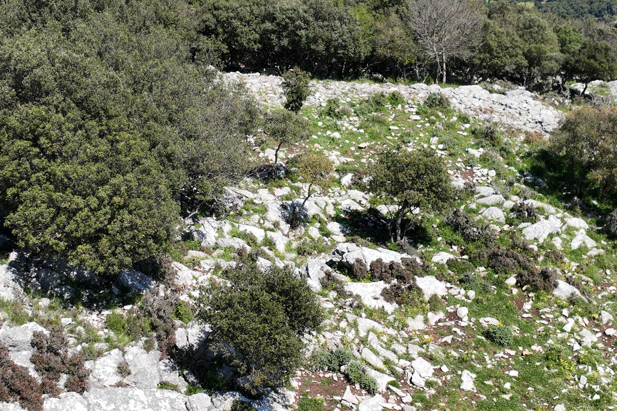
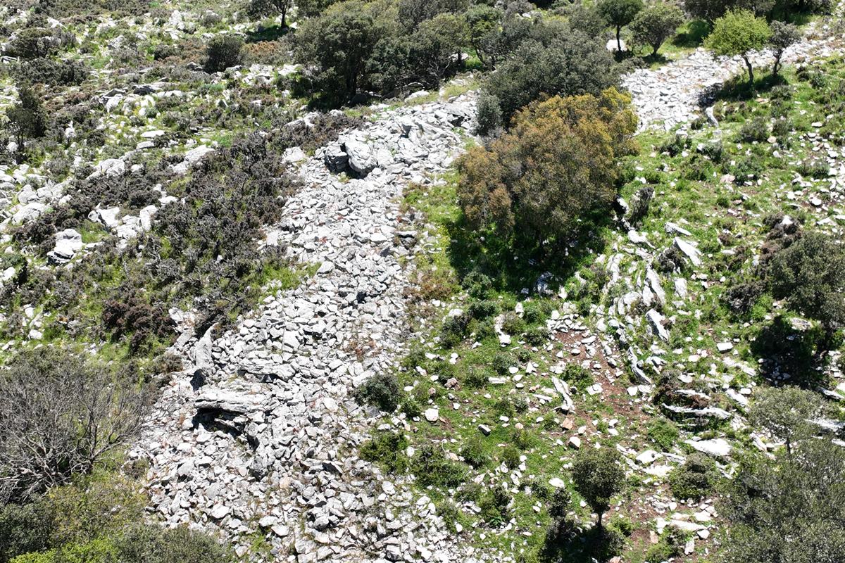
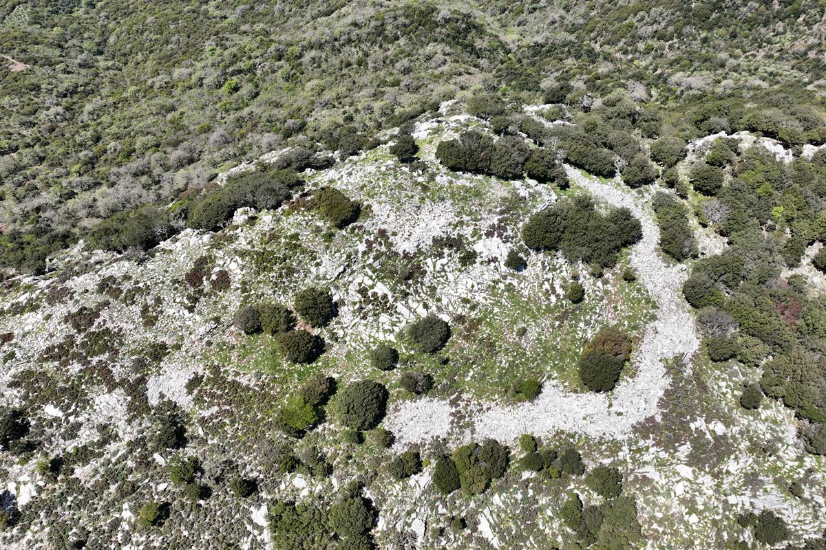
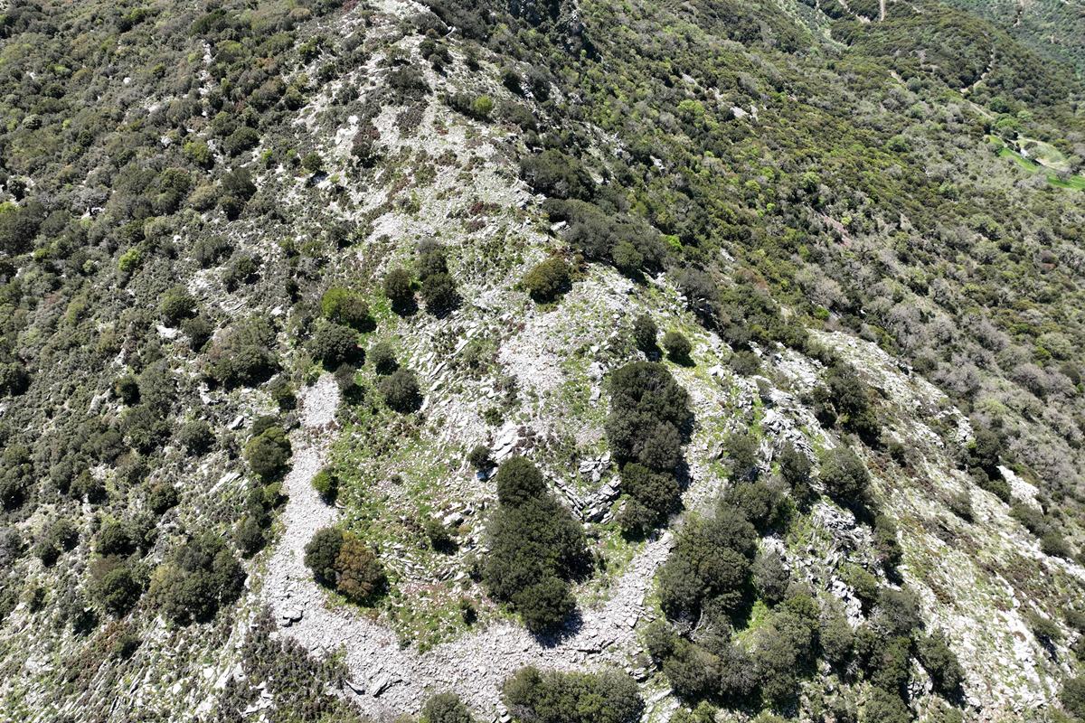
The castle is located on the top of the mountain, covering an area of about 2500 sq.m. All the remains of the fortification lie in piles of stones. In some places, the walls are preserved up to a height of 4-5 rows. The wall thickness was 2-2.5m.
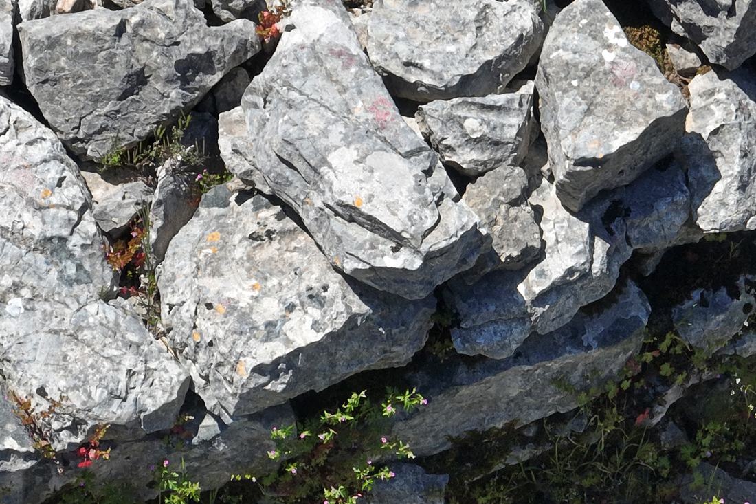
The total length of the surviving walls is 120 meters, while the original perimeter must have reached 190 meters. For the construction, semi-finished stones of medium size (and in places large size) without binding mortar were used.
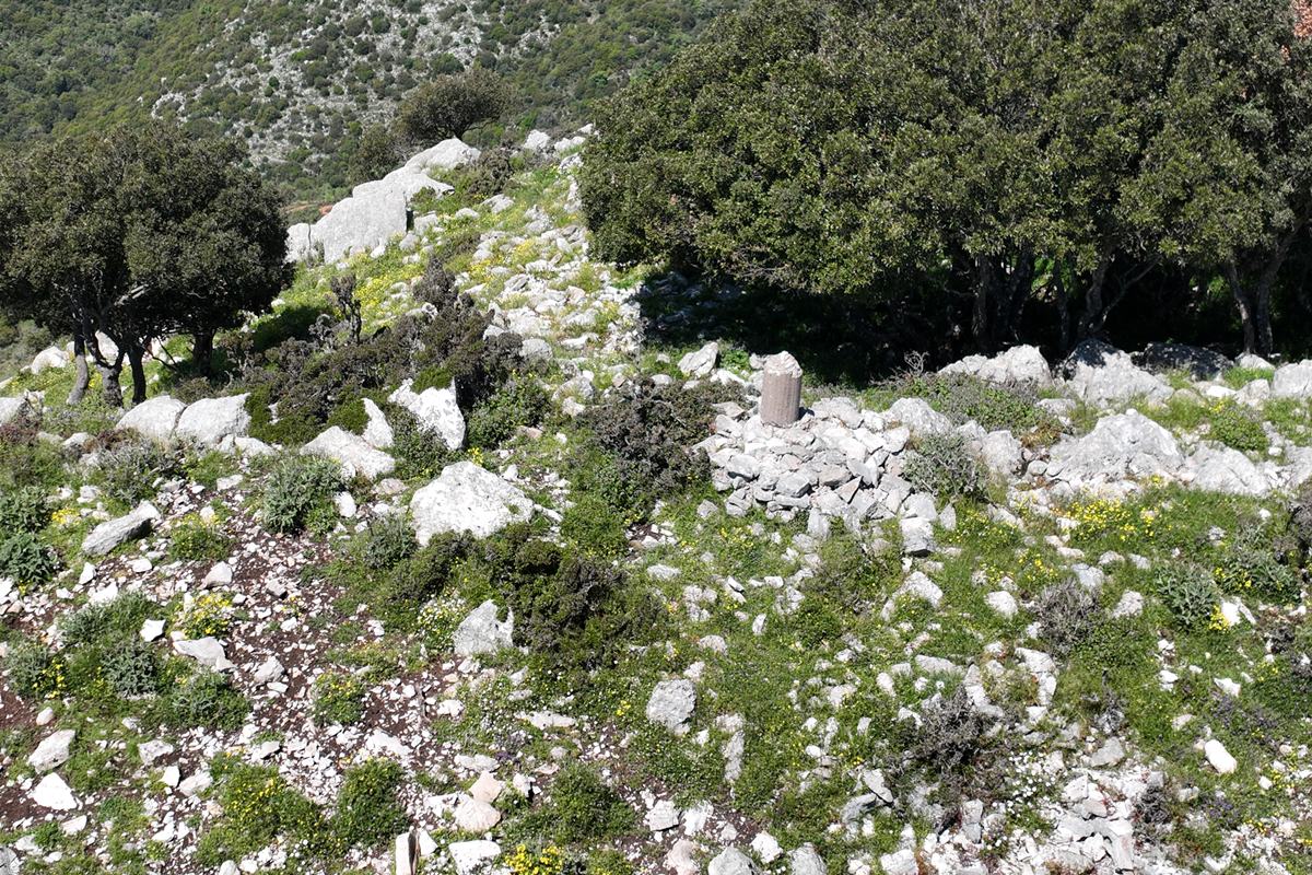
The walls form corners in several places, forming a polygonal layout. In the middle of the castle, there are some building remains, which may be the remains of a central tower.
No cistern (water tank) has been spotted in the ruins of the castle, which is quite strange.
Sources
- Research and photos by Peter Barkevics – April 2026
- Website Αριστομένης ο Μεσσήνιος - Κάστρο Προφ. Ηλία Μεσσηνίας
- Antoine Bon, 1969, La Morée franque. Recherches historiques, topographiques et archéologiques sur la principauté d'Achaïe (12051430), Editions de Boccard, pp.439
| Access |
|---|
| Entrance: |
| Free access. |