Lykosoura, Megalopoli, Arcadia,Peloponnese
Acropolis of Lykosoura
or Paliokastro of Stala
1
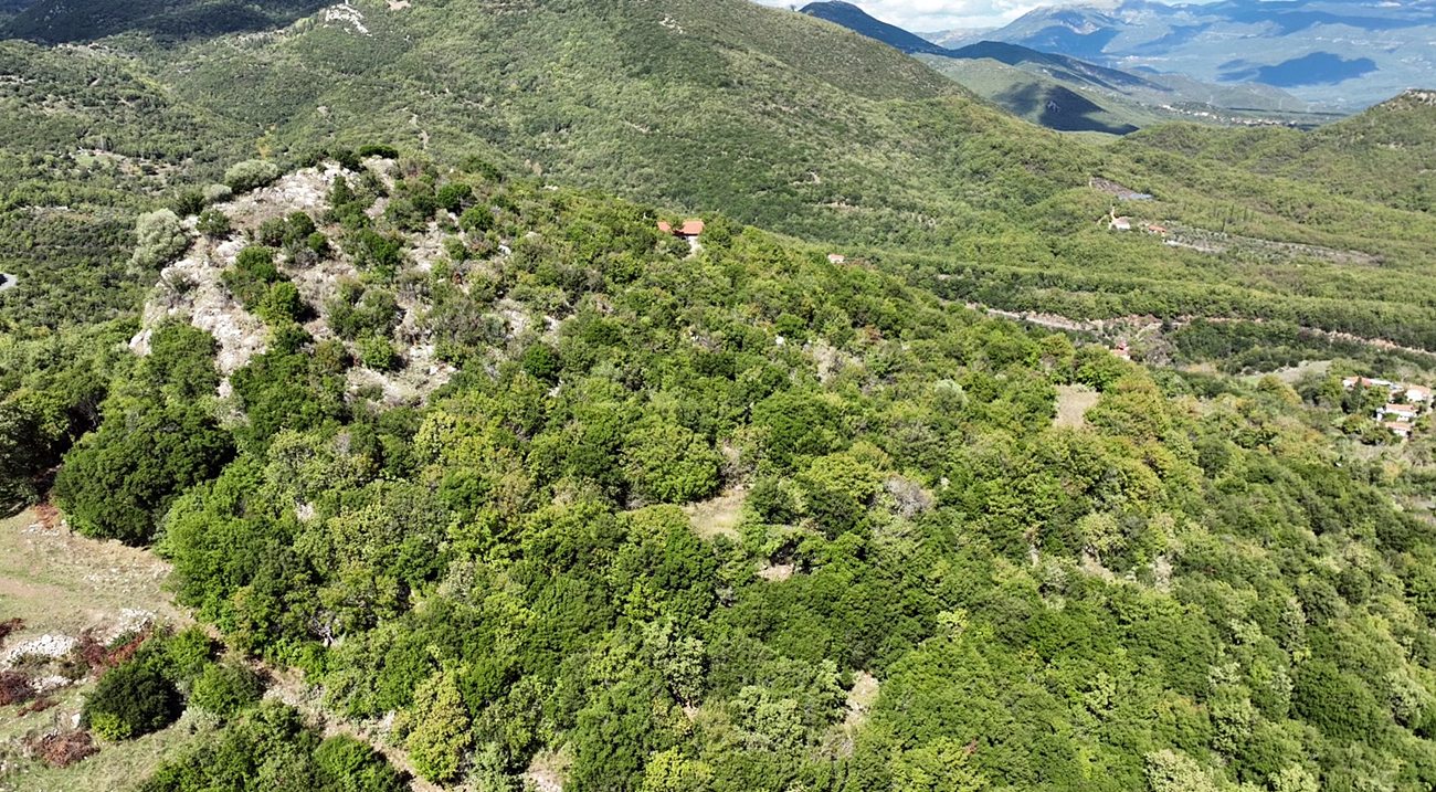
2 / 30
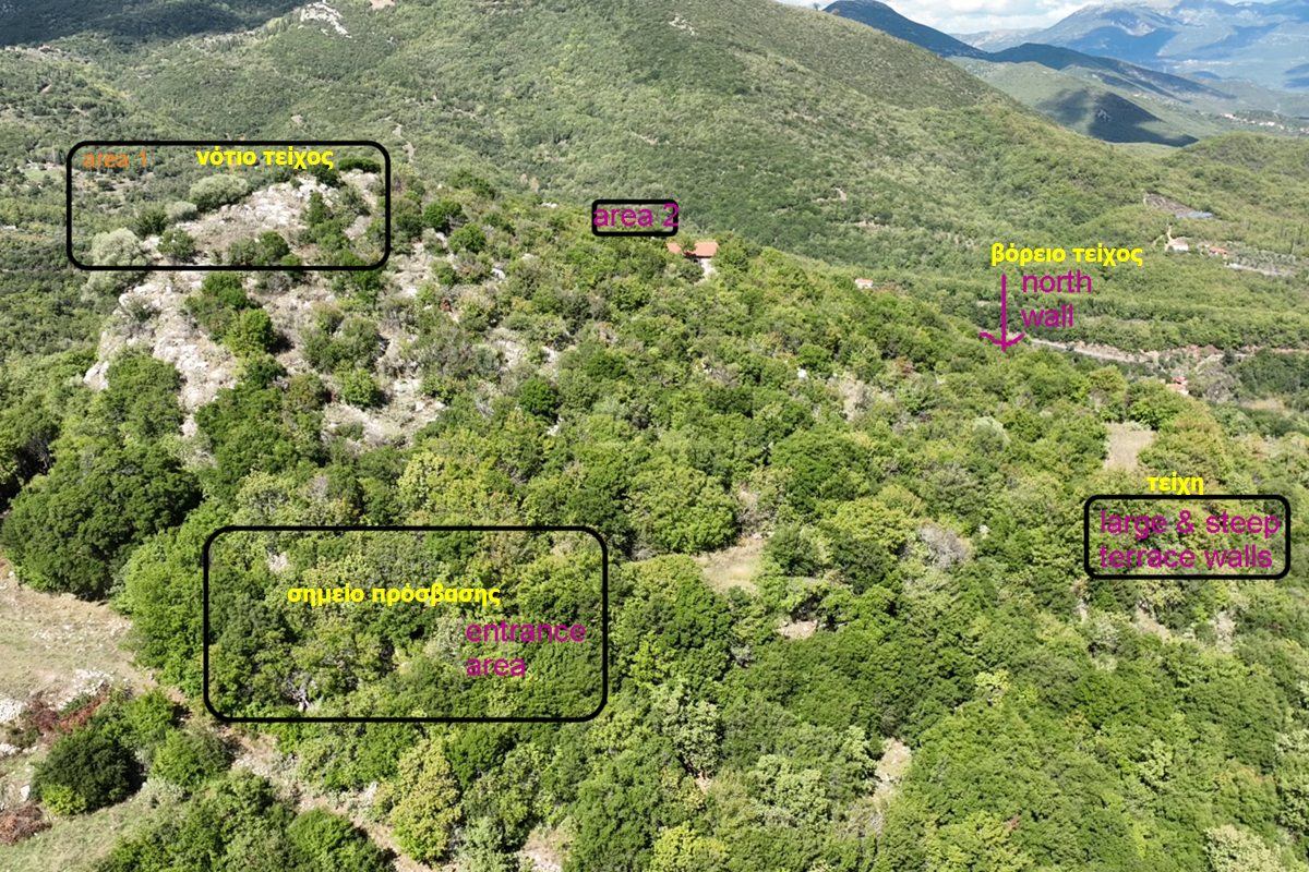
3 / 30
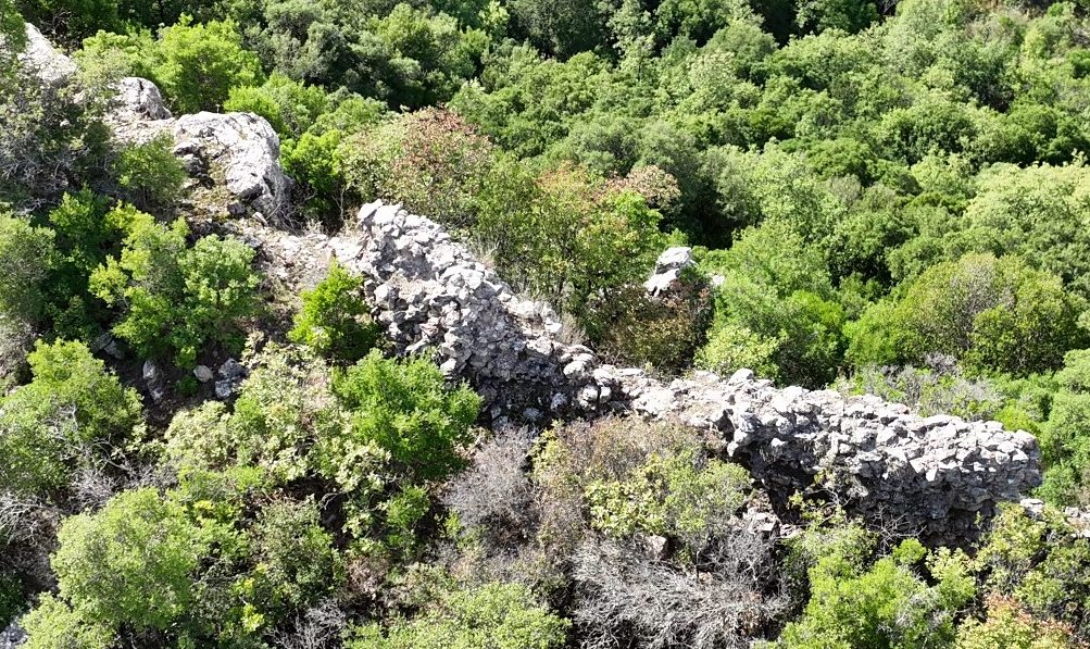
walls in northwestern side
4 / 30
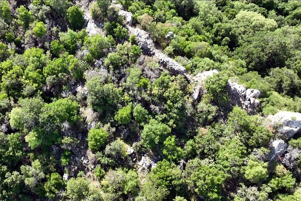
walls in western side
5 / 30
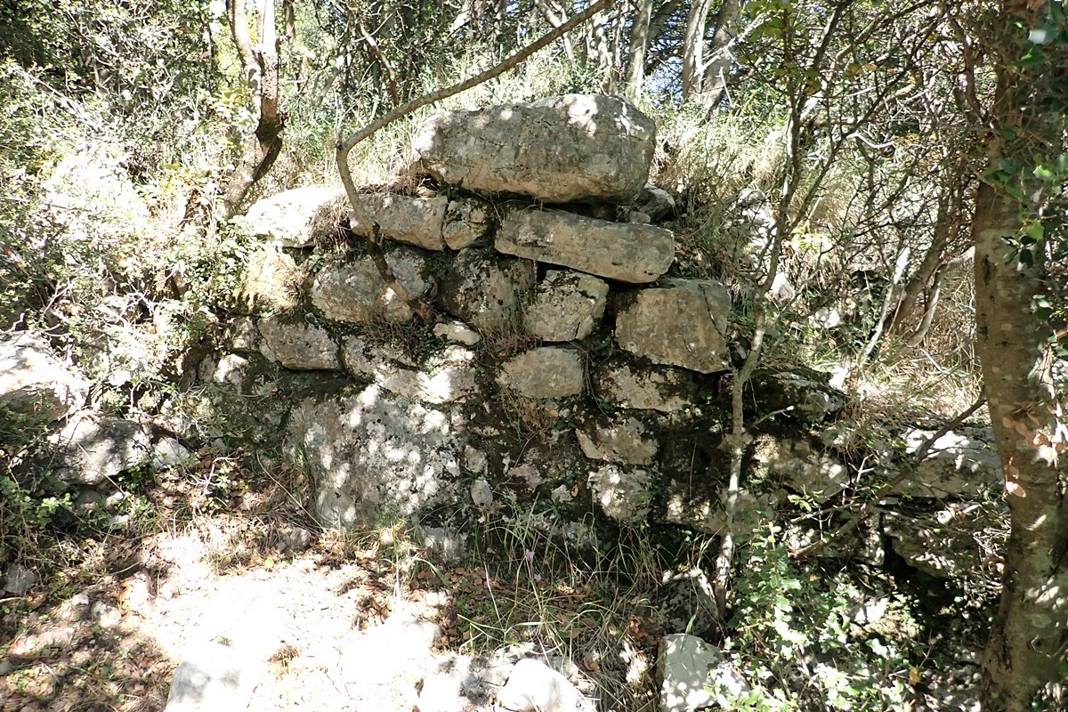
wall ruins approaching the gate at the east
6 / 30
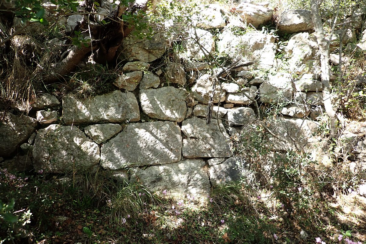
wall ruins approaching the gate at the east
7 / 30
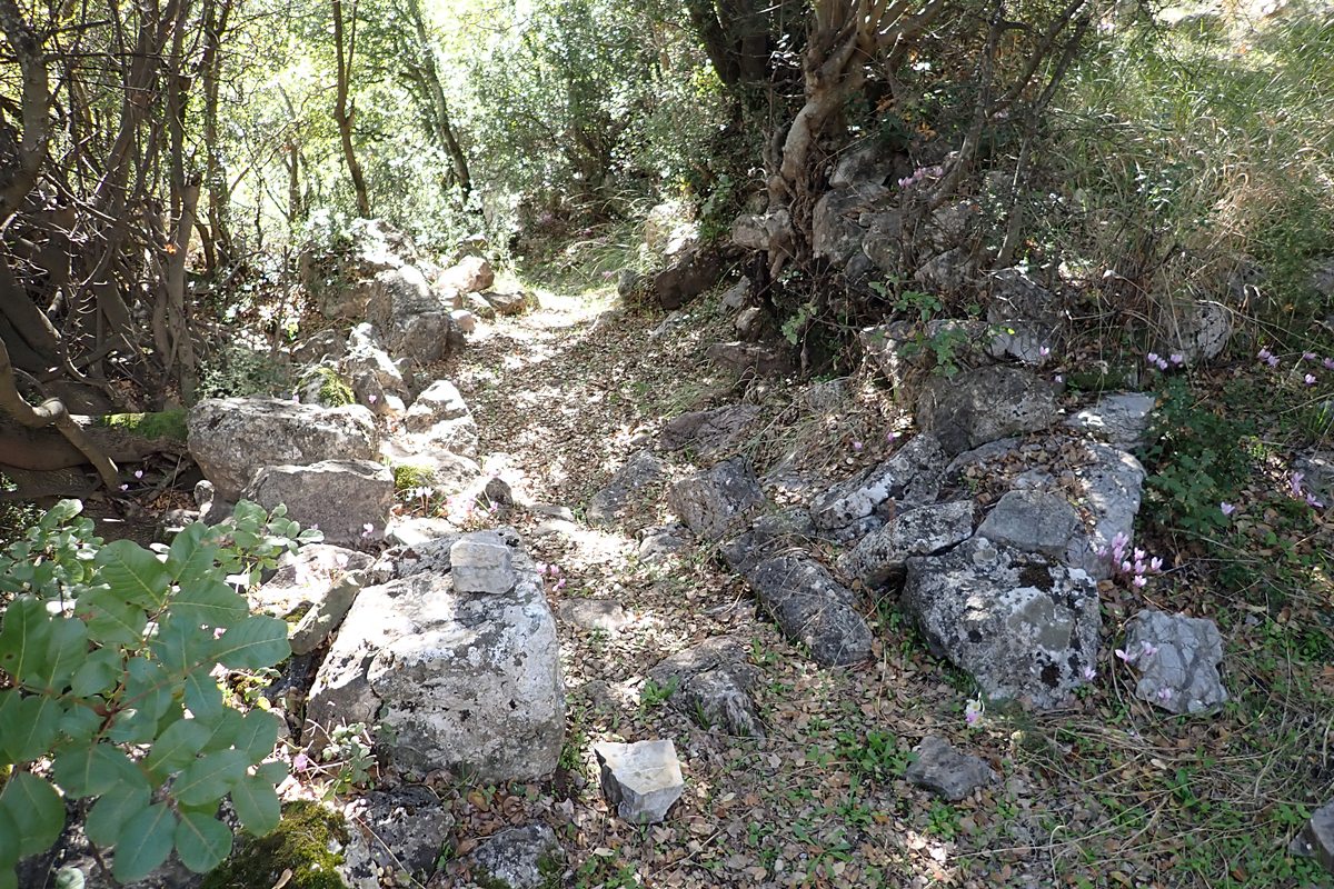
looking down path up to entrance/gate area
8 / 30
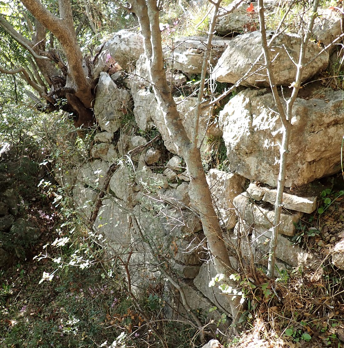
detail of wall outside the gate area
9 / 30
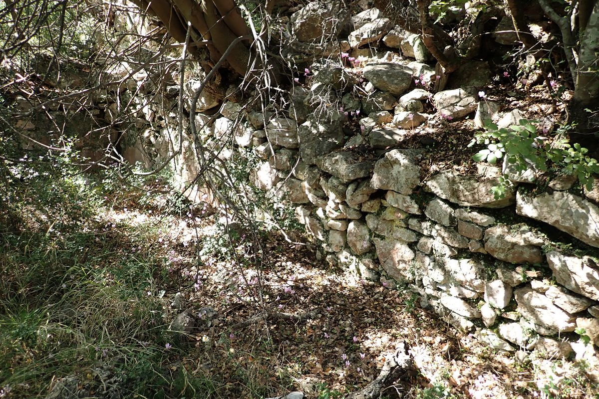
ruins of a cistern near the gate, to the south of it
10 / 30
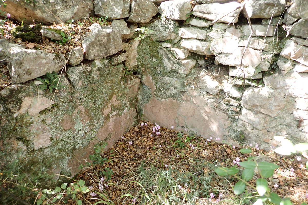
detail of the interior of the cistern
11 / 30
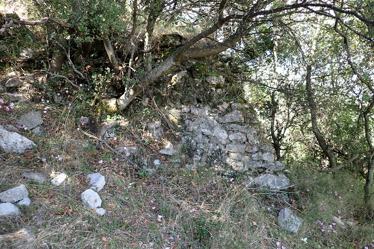
remains of eastern wall
12 / 30
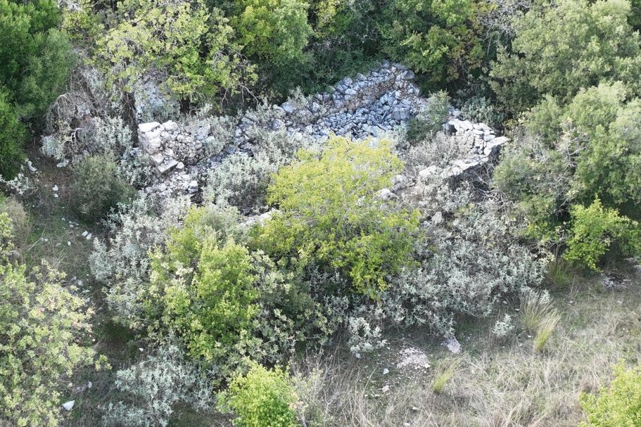
ruins of the building in the interior of the citadel
13 / 30
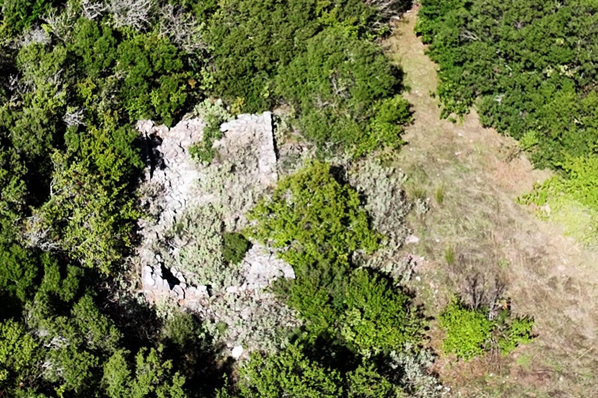
ruins of the building in the interior of the citadel
14 / 30
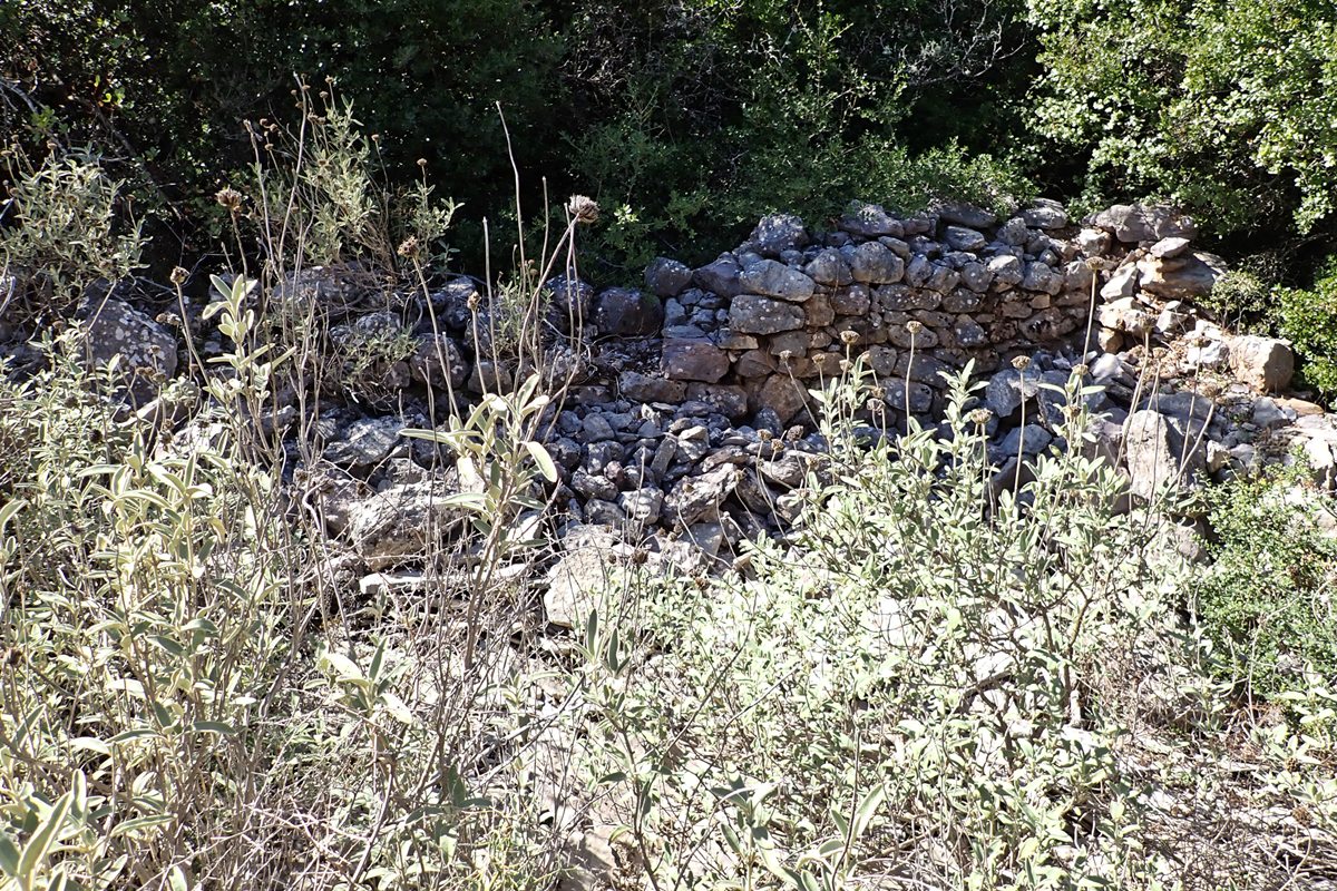
ruins of the building in the interior of the citadel
15 / 30
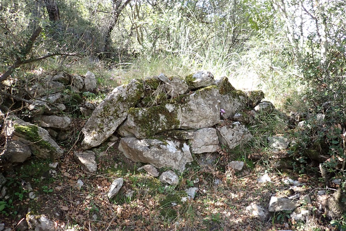
internal “terrace” wall of the castle
16 / 30
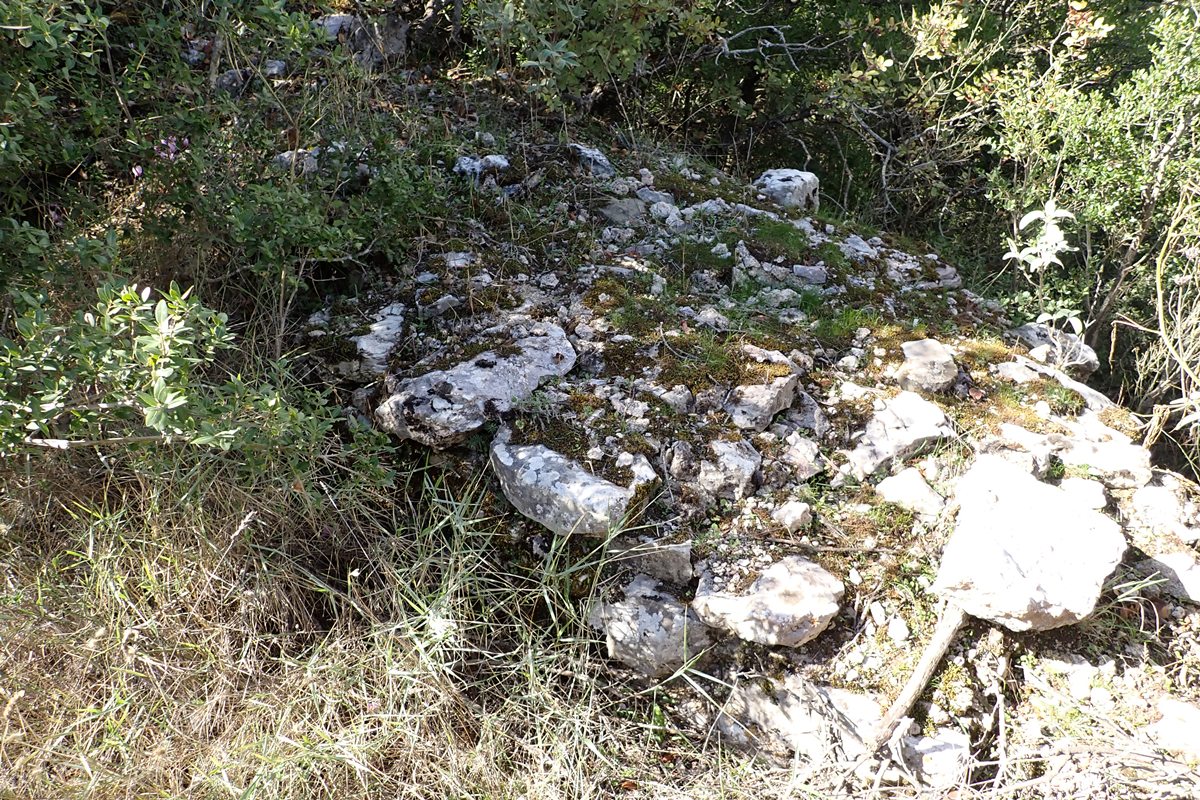
top of north side of castle wall showing width & construction
17 / 30
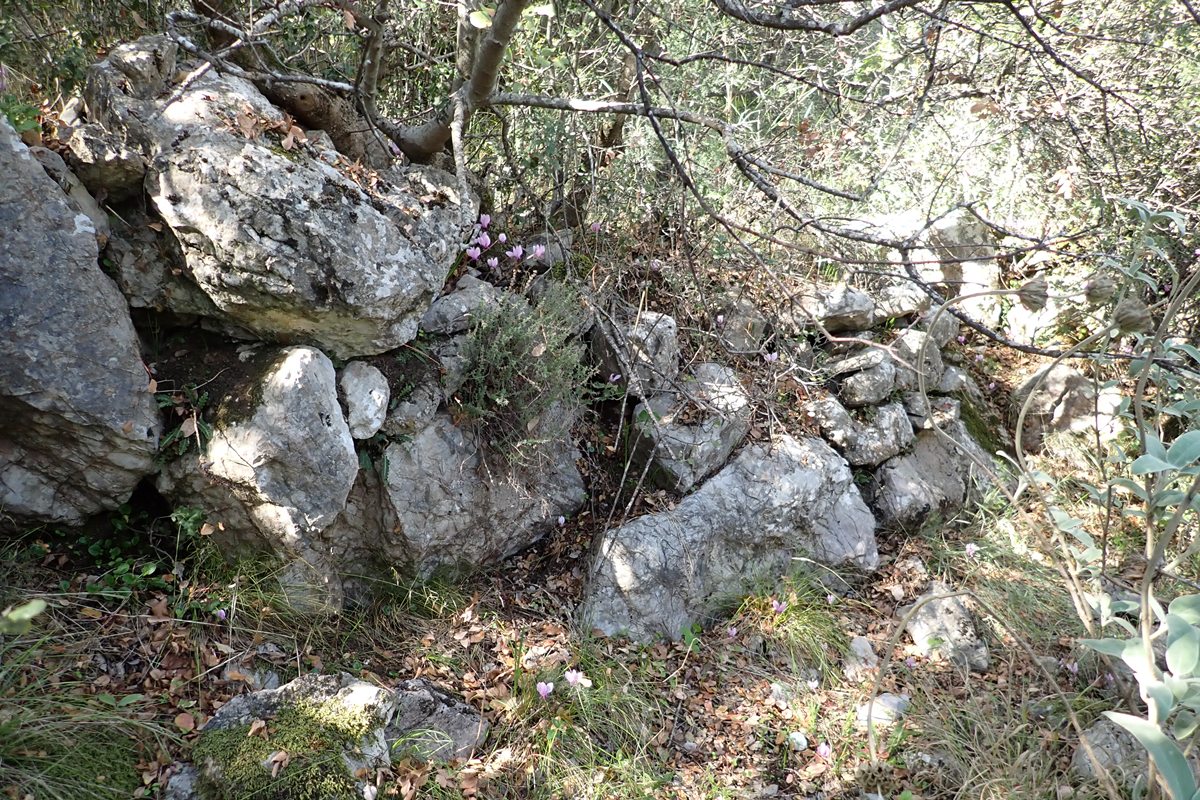
18 / 30
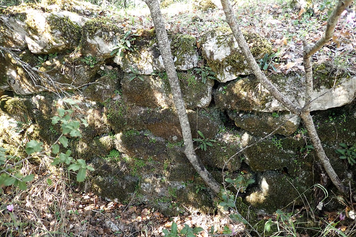
view of outside of north castle wall
19 / 30
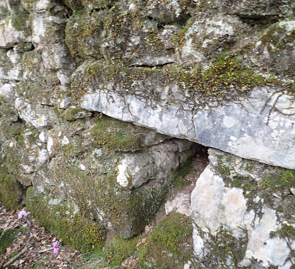
view of outside of north castle wall
20 / 30
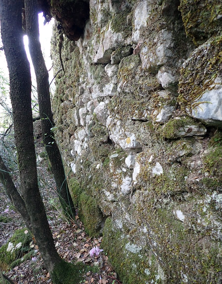
view of outside of north castle wall
21 / 30
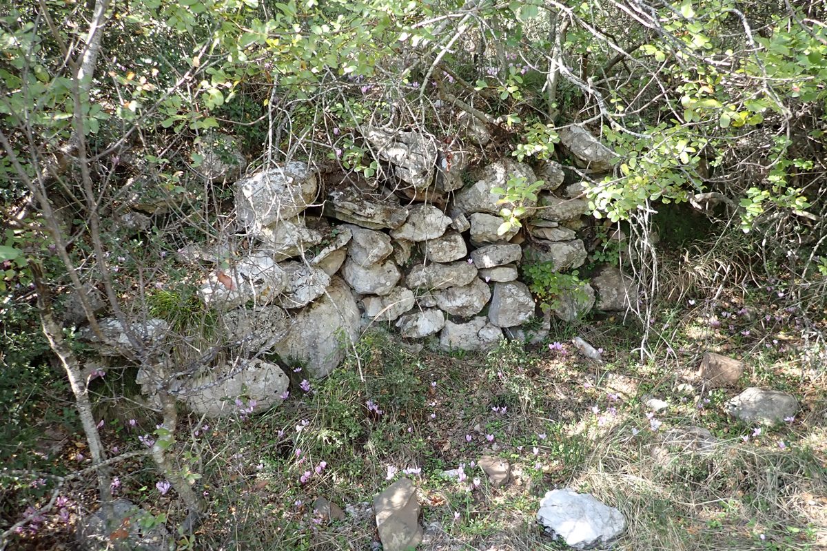
crude stone wall south side of castle west of entrance area
22 / 30
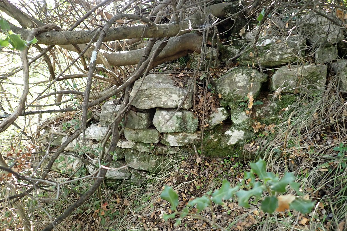
crude stone wall south side of castle west of entrance area
23 / 30
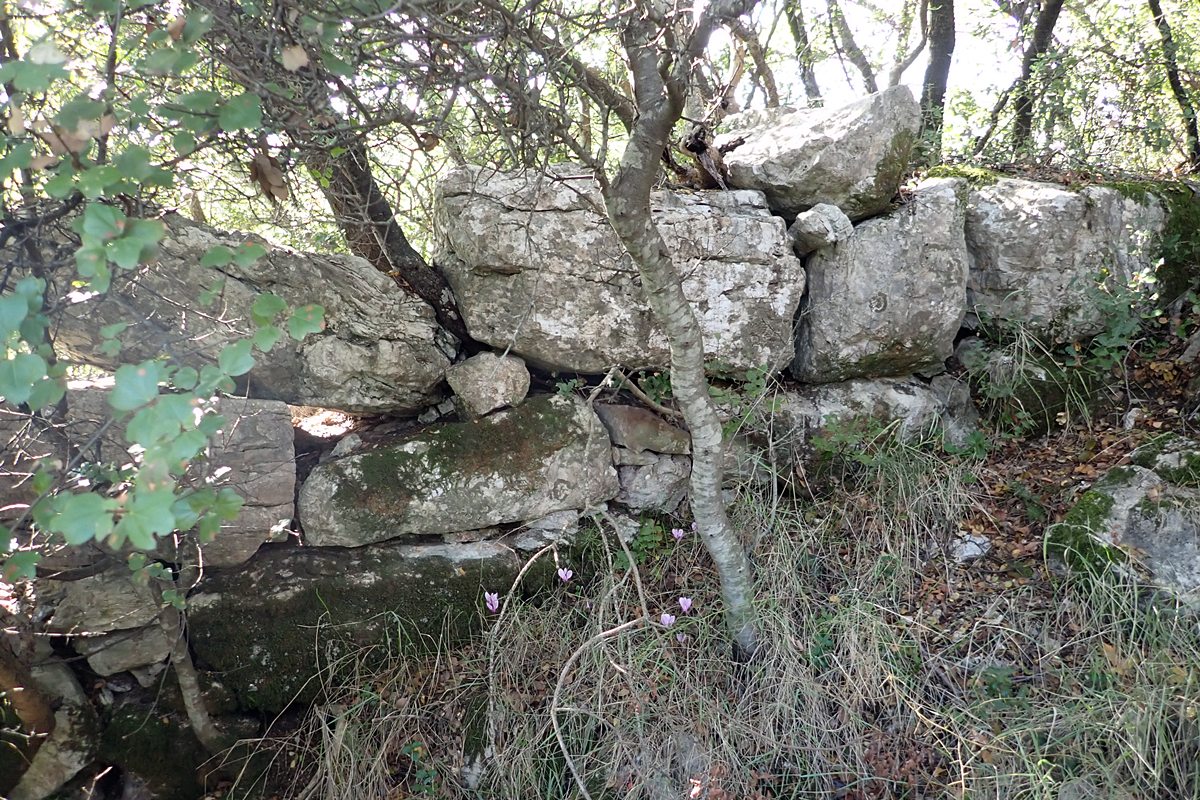
larger crude stone block work south side of castle
24 / 30
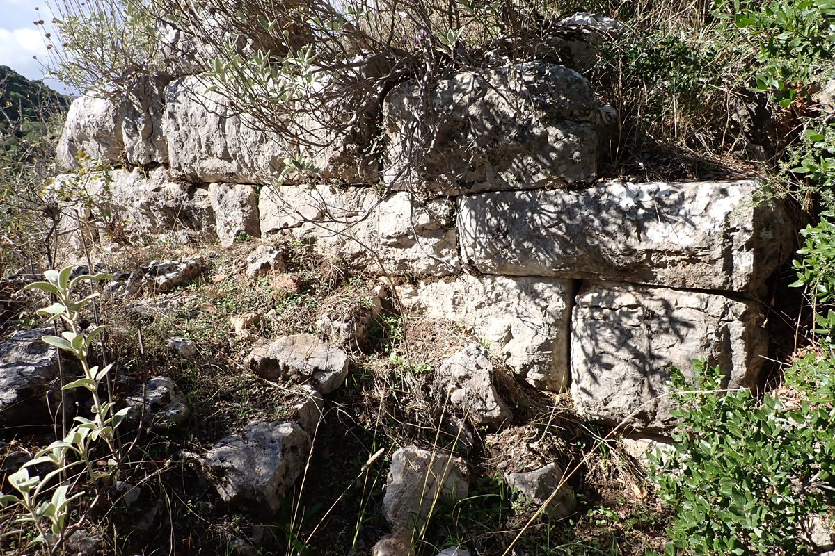
south west corner of castle. (note mortar wall bottom left)
25 / 30
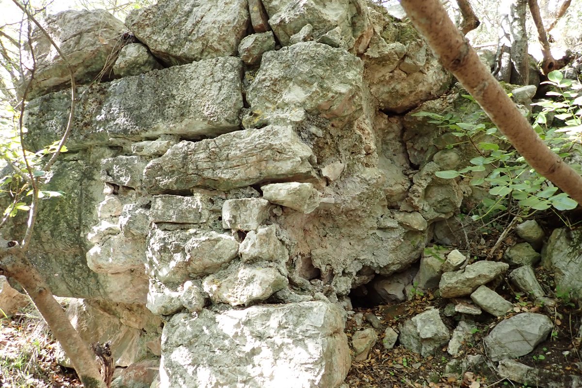
detail of wall corner outside, below and east of gate entrance area (mortar use)
26 / 30
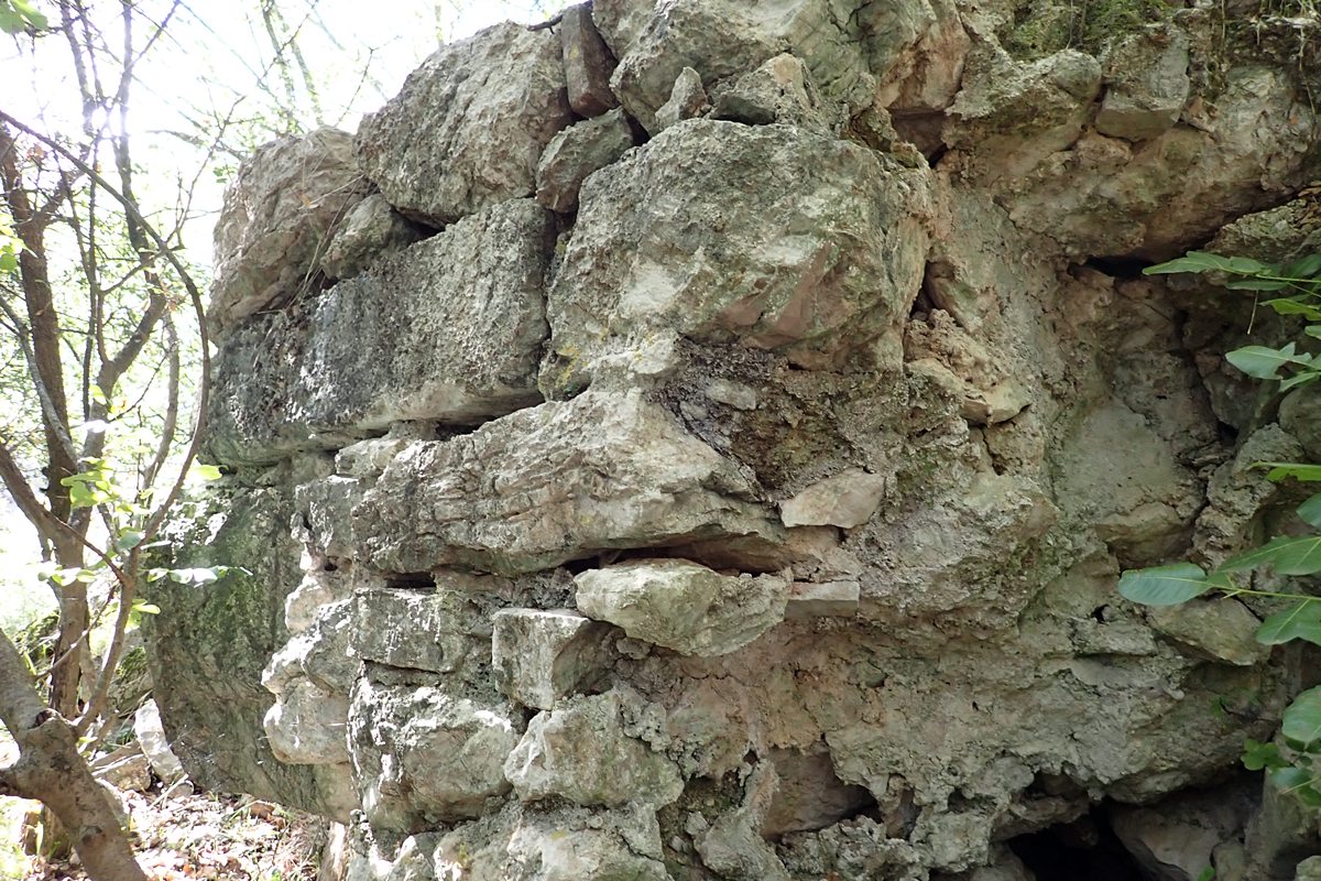
detail of wall corner outside, below and east of gate entrance area (mortar use)
27 / 30
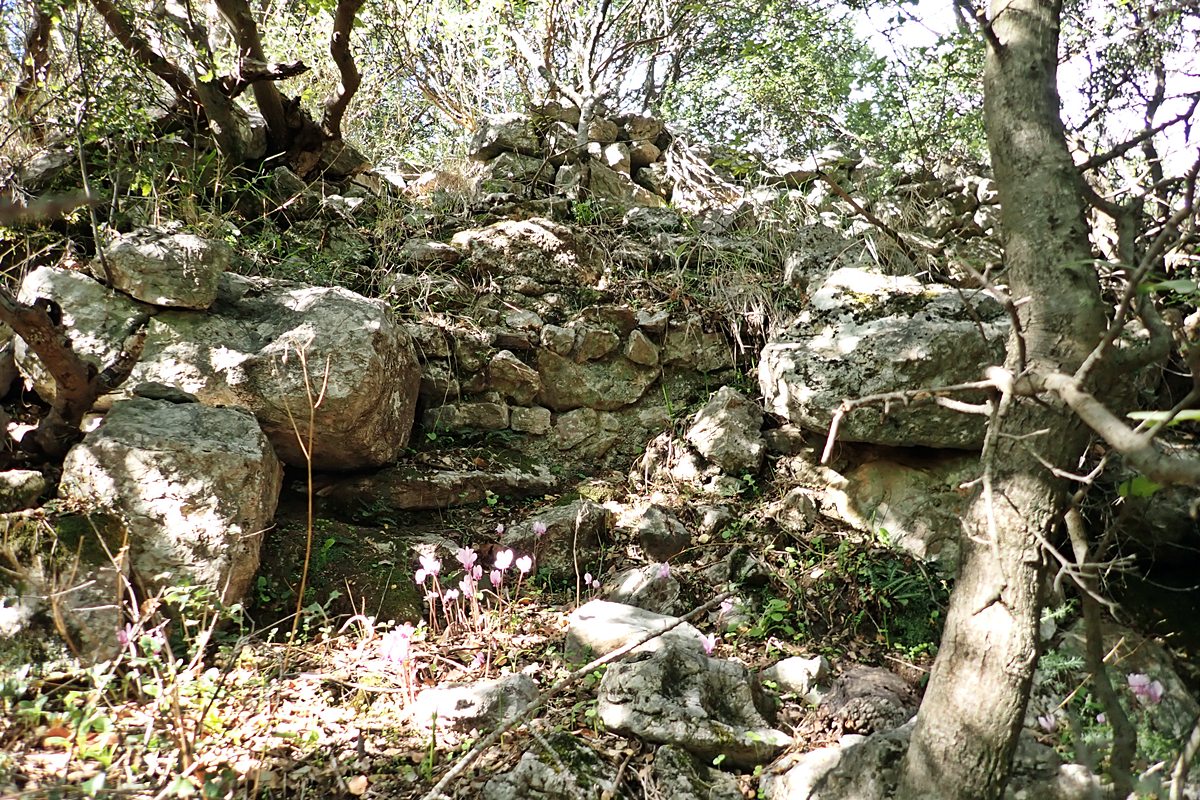
Terrace wall north entrance area with possible block tower
28 / 30
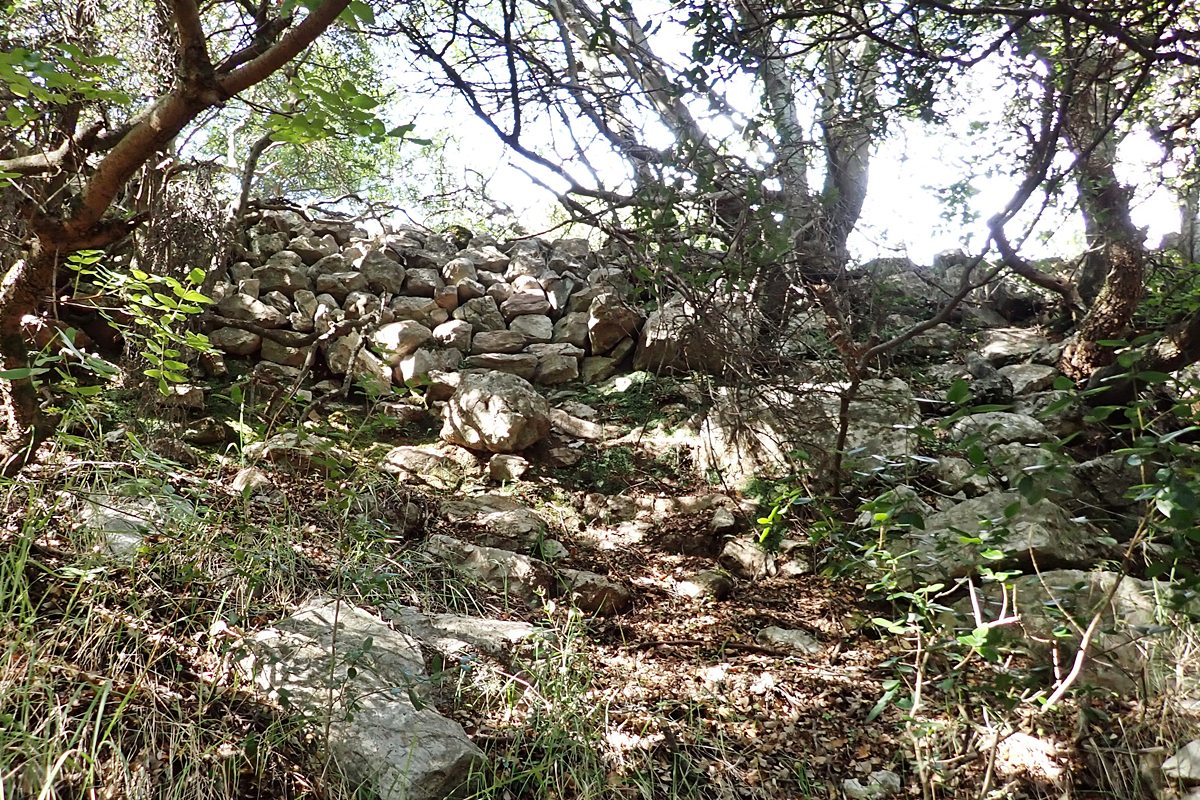
Terrace wall north οφ entrance area
29 / 30
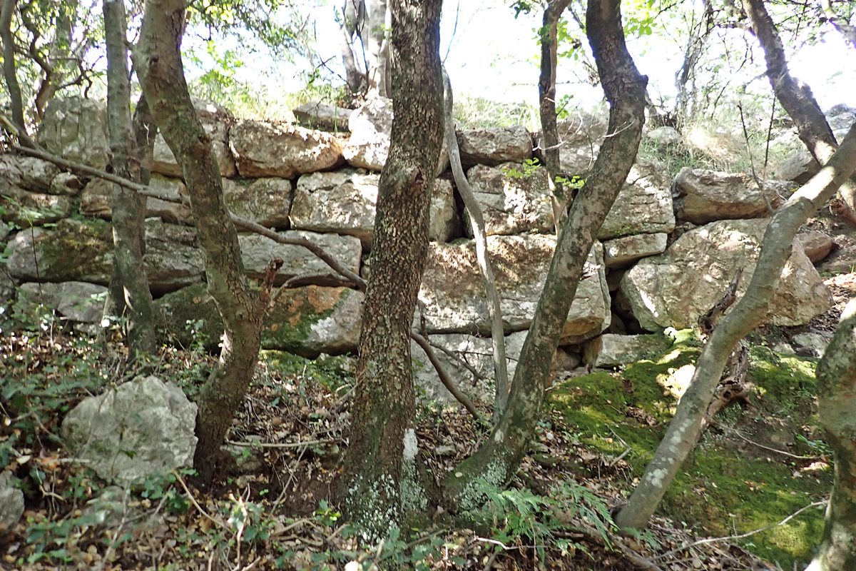
wall progressing north of entrance area on east side of castle
30 / 30
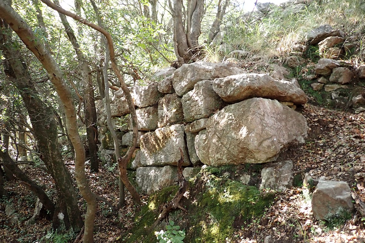
wall progressing north of entrance area on east side of castle
THE END
| Location: |
| On a hill 1 km SE of the village Lykosoura in Arkadia |
| Region > Prefecture: | 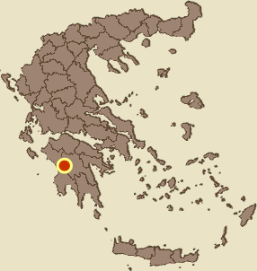 |
| Peloponnese Arcadia | |
| Municipality > Town: | |
| City of Megalopoli • Lykosoura | |
| Altitude: | |
|
Elevation ≈ 640 m (Relative Height≈120 m) |
| Time of Construction | Origin | |
| Various periods | ANCIENT  |
|
| Castle Type | Condition | |
| Castle Ruins |
In Ruins
|
Ancient citadel that was repaired and used during the Middle Ages. It is located near the village of Lykosoura in Arcadia, Peloponnese.
Location & Strategic Scope
The castle is located 1 km southeast of the present-day village of Lykosoura, on a hill next to the archaeological site of ancient Lykosoura. It is not exactly inside the archaeological site but is about 200 meters away from it. Apparently it was the citadel (acropolis) of the ancient city that extended over a much larger area, to the east of the hill.
There is a rough path that connects the top of the hill with the archaeological site (although the main access to the castle is from its eastern side, where the ancient gate used to be).
The site is located 10 km west of Megalopolis (as the crow flies) and is at the southern end of the area that during the Middle Ages was known as Skorta or (for the Franks) Escorta. “Drongos of the Skorta” was the name used in the 13th and 14th centuries for the mountainous western part of Arcadia, which was of strategic importance for the Principality of Achaea as it controlled the passages to the fertile plains of Elis and Messinia.
Due to the strategic importance of Skorta and especially the specific area around Mount Lykaion (which at one time was the border between the Byzantines of Mystras and the Franks of the Principality of Achaea) there were many fortifications around there, such as the castle of Ai-Giorgis, the Palatos castle, as well as 2-3 more small forts, north of Lykosoura, which are not yet included in Kastrologos.
The Name of the Castle
The acropolis was first identified with the acropolis of Ancient Lykosoura by Edward Dodwell, in his work A classical and topographical tour through Greece, during the years 1801, 1805, and 1806. The neighboring village of Lykosoura was formerly called Astala. In 1926 it was renamed Lykosoura due to its proximity to the ancient site.
Astala or Stala was the name of the village since medieval times. For this reason the castle is also referred to as Paliokastro of Stala.
According to Sfikopoulos, the castle is also referred to as Palaiokramvano or the castle of Deli Hasani (a remnant of the Turkish occupation) or even as Sidirokastro (for unknown reasons). Finally, many scholars identify it with the castle of Agios Georgios of Skorta, for reasons that will be discussed below.
History
Ancient Lycosura was the holiest city of Arcadia, the center of a pre-Hellenic and mysterious cult. According to tradition, the city was founded by the mythical king Lycaon, son of Pelasgus.
The city was visited in the 2nd century AD by Pausanias, and he made a strange comment (Paus. 8.38.I):
“Of all the cities that he showed on the mainland and in the islands, Lycosura is the oldest, and the sun saw it first. From this city the rest of the people learned to build cities”
In the ancient city there were many sanctuaries: the great sanctuary of Despoina, the grove of Despoina, baths, an altar, a sanctuary of Pan, as well as a sanctuary of Athena. (Despina was the second daughter of godess Demeter, sister of Persephone.)
The ancient sanctuaries date back to the 2nd century BC. It should be noted that the acropolis is considerably older by 2-3 centuries, which means that during the 2nd century the city experienced a period of radical renovation, possibly due to the Roman conquest or perhaps due to the revival of the ancient cult of the area (which apparently was quite unique).
During the Byzantine Period, we have no information about the city. It is possible that it continued to exist. During the 13th century, it seems that the acropolis was repaired and used as a fortress in the war between the Franks and the Byzantines.
The castle is related to a characteristic episode of the late 13th century:
The castle of Saint George of SkortaAround 1290, according to the French edition of the Chronicle of the Morea, the Prince of Achaea Florent de Hainaut, husband of the heiress of the principality Isabella of Villehardouin, built a new castle near “Great Arachova”, in the Drongos of Skorta: the Castle of Saint George or of Agios Georgios.
In 1296 this castle fell into the hands of the Greeks. This happened when a Greek merchant named Krokodilos wanted to take revenge for a personal insult from a Frank (which was done to him at a feast in Vervena) and organized a plan to capture the castle of Agios Georgios, which he estimated, correctly, would be a painful loss for the Franks. For this purpose, he secured the cooperation of a friend of his who was a caterer in the castle and a guard who bribed him. Krokodilos collaborated with the general of the Despotate of Mystras Leo Mavropapas who had under his command a force of 100 Turkish mercenaries. The operation took place on a moonlit night in the summer of 1296 and was completely successful.
This episode, which began from insignificant personal differences, was very serious as it put an end to a 7-year period of peace and gave the Byzantines a fortified position in the Drongos of Skorta.
Prince Florentius immediately rushed and besieged the castle, but despite his persistent efforts he was unable to retake it. To pressure the besieged, he built a new castle nearby, the Beaufort (= beautiful fort). He had previously fortified other positions which the French Chronicle mentions under the names Spurte and Malomigny.
Florenti died the following year without being able to recover the castle. Later the Franks were able to take it, but in 1320 the castle was captured by the Byzantine general Andronikos Asan Palaiologos and remained in Greek hands for about a century and a half, until its occupation by the Venetians and Ottomans.
The question that arises for scholars of the medieval history of the Morea is: what was the castle of Agios Georgios? And, secondarily, what is the castle of Beaufort that Florent later built?
The short answer is: we do not know for sure.
There are two prevailing versions for the identification of the castle of Agios Georgios:
1) that it is the Castle at Psilos Ai-Giorgis, which is presented in detail on a separate page in the Kastrologos as Castle of Agios Georgios of Skorta.
2) That it is the castle on this page, the castle of Lykosoura.
Both of these castles are on the southern edge of Skorta, both are near a village that used to be called Arachova (near Ano Karyes the Psilos Ai Giorgis and near Kato Karyes the Lykosoura) and, finally, in both of these castles there is a chapel of Agios Georgios (not particularly strong indication, as Saint George was considered the protector of castles and his chapels were in many castles).
Most historians consider the castle of Saint George of the Chronicle to be the acropolis of Lykosoura, because it was a much larger castle and it made sense to attack it with a force of 100 people, while Psilos Ai-Giorgis is too small to justify all this fuss (so perhaps that is where Beaufort was).
The counter-indications to this theory are that in the Hopf tables of 1377 and 1391, Lykosoura is listed as the property of specific Frankish lords, while at that time we know that it had belonged to the Byzantines for decades. Also, on later maps, St Zorrzi and Lycosura are marked independently (but in random locations, while St Zorrzi may be another castle).
Another issue that causes confusion is the mention of Vervena. There is no such place name in the area. On the contrary, there is a village of Vervena on the eastern side of the Peloponnese, in northern Laconia, and very close to an Arachova that was an important town (present-day Karyes). Some (such as the archaeologist Romaios) have formulated the hypothesis that perhaps the castle of Agios Georgios was located there, but the main problem with such a hypothesis is that the area has no connection with Skorta.
Ultimately, we cannot be sure about the location of the castle of the Chronicle. Let us bear in mind that perhaps it was in Lykosoura.
The castle of Lykosoura is mentioned in Hopf’s tables:
In the 1377 list as Lo castello de Scala (in la Scorta) owned by Janni Misido.
In the 1391 list as Le Stala owned by Johant Misto & Bertranet Mota.
In Moustoxydis’ list of 1471 it appears as Skalia (although the alleged distortion from Stala to Skalia may not be true and it may be a different castle).
Furthermore, if the identification with Agios Georgios of Skorta is valid, the castle appears as San-Zorzi / Gorzi in the 1471 list (along with Skalia mentioned above, so they are different castles), as S. Zorzi Scorta in the 1467 list and as S. Zorzi de Scorta in the list of 1463 (in all these cases it is recorded as Venetian).
The castle fell into the hands of the Turks around 1460. It must have been recaptured by the Venetians during the First Venetian-Turkish War. The Ottomans finally occupied it after 1471.
During the Turkish occupation the castle may have been used, as the name “castle of Deli Hasani” survives.
Structure, Fortification & Buildings
The castle is located on an elongated hill on the north-south axis. The fortification protected the upper part of the hill, having a pear-shaped plan. The widest part of the “pear” is on the south side. The walls are more visible on the relatively steep western side (photos 3,4). However, there are remains of walls on the other sides, which are indistinct due to the vegetation.
The walls are not preserved along the entire perimeter, while in most places where they are preserved they are at a low height. In some places on the steep western side it seems that there was never a wall.
The three slopes of the hill are relatively steep and provide natural protection. This does not apply to the eastern side, which slopes smoothly and is very vulnerable. There, approximately in the middle of the eastern side, was the castle gate. Today, a path begins from there that leads to the interior of the castle and to the top of the hill.
The southern side is also relatively vulnerable, although it is steep, but it is connected by a smooth neck to the neighboring hills.
Around the center of the hill is a modern chapel of Agios Georgios. This chapel is mentioned by older travelers (of the 19th and early 20th centuries) as being in ruins. Apparently, in recent decades, serious reconstruction work has been carried out on the chapel.
The boundaries of the castle are not very clear today, but we can roughly estimate its dimensions: The length of the perimeter of the fortification must have been approximately 600 meters, which enclosed an area of approximately 1.7 hectares. It was a fairly large castle.
No trace of a tower can be seen in the fortification. The entrance, as mentioned above, was in the middle of the eastern side where an opening can be seen. Near the entrance there are ruins of a cistern (water tank) with internal plaster. Inside there are a few unspecified ruins and the ruins of a building (photo 12,13,14), which, taking into account the history of the castle, is probably a remnant of the Tourkokratia.
In general, the fortification is not in good condition. For the most part, these are ancient walls, while in a few places, mainly on the north-northwest side (and sporadically on the eastern walls), modifications and additions using mortar that are medieval (Byzantine or Frankish) can be seen.
What we should point out is that the fortification of the acropolis of Lykosoura was not of great quality. Both the ancient fortification (which is inferior to other Arcadian acropolises) and the few medieval additions give the impression of a castle without particularly elaborate construction.
The ancient walls date back to the 4th century BC or, at the earliest, to the 5th century. They are constructed with the isodomous or polygonal system (not the best examples of this style). The medieval additions cannot be determined chronologically with precision and seem rather rough.
Sources
- Research and photos by Peter Barkevics – October 2025
- Antoine Bon , La Morée Franque. Recherches historiques, topographiques et archéologiques sur la principauté d’ Achaie (1205-1430), Paris 1969, vol. 1, 377-389, 690, 692.
- Ιωάννης Σφηκόπουλος, Τα μεσαιωνικά κάστρα του Μορηά, Αθήνα 1968, 235-238.
- Website Topoguide - H Αρχαία Λυκόσουρα και το Ιερό της Δέσποινας
| Access |
|---|
| Entrance: |
| Free access |