Kalavryta, Kalavryta, Achaea,West Greece
Castle of Kalavryta
or Castle of Oria
1
2 / 23
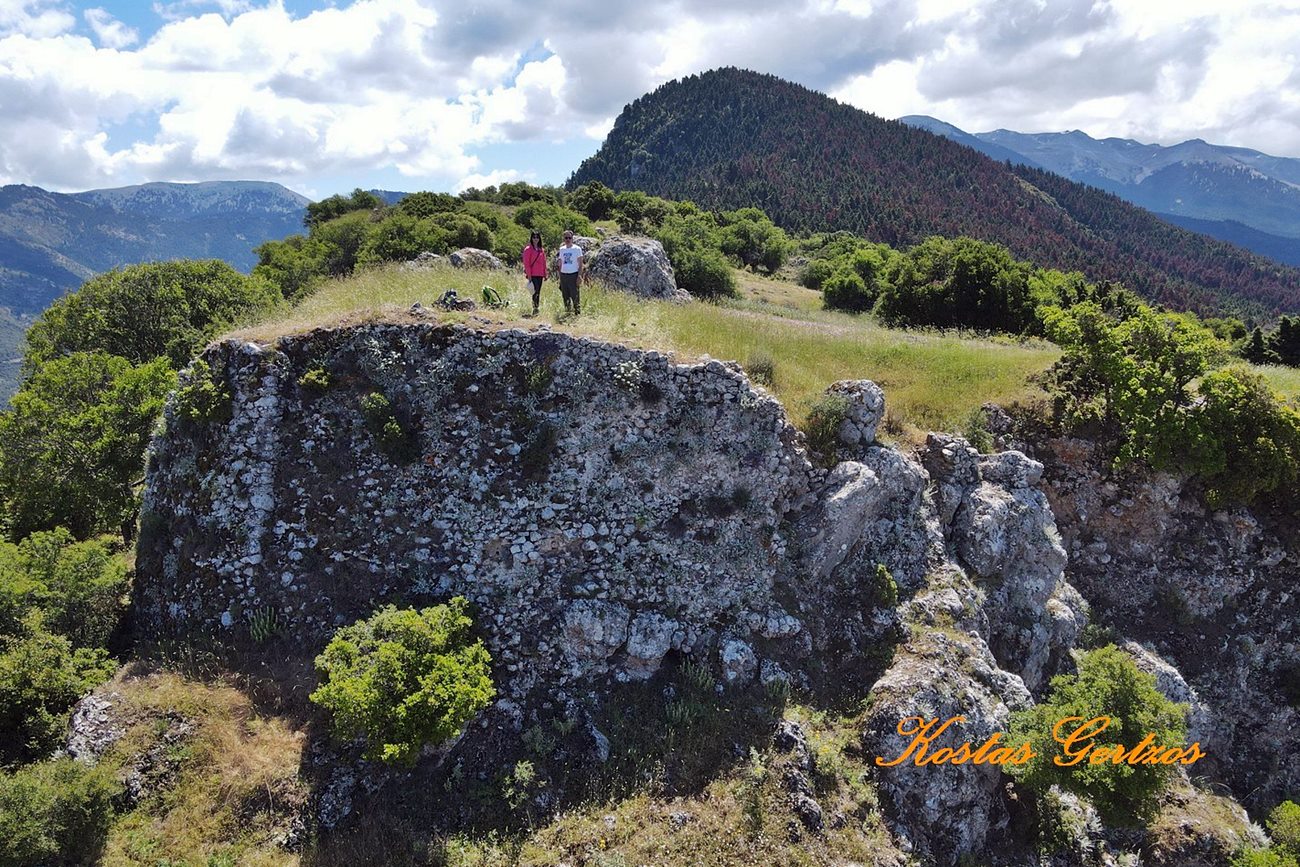
the western side of the castle
3 / 23
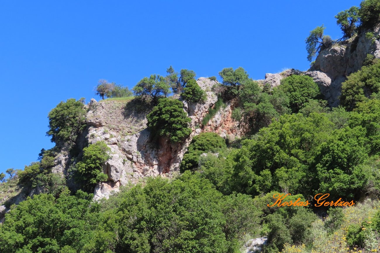
remains of the fortification at the north side
4 / 23
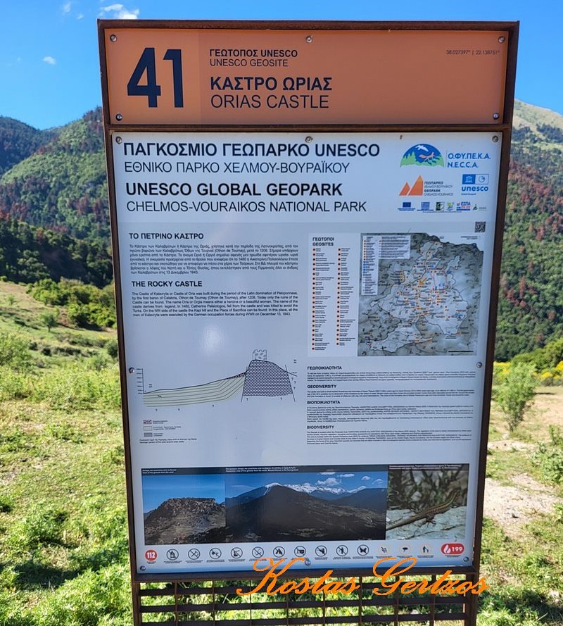
5 / 23
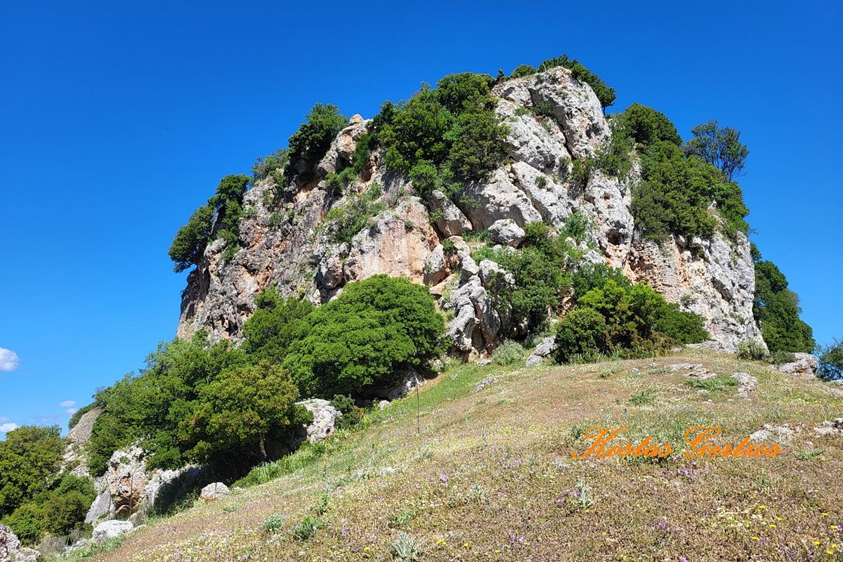
the east side of the rock
6 / 23
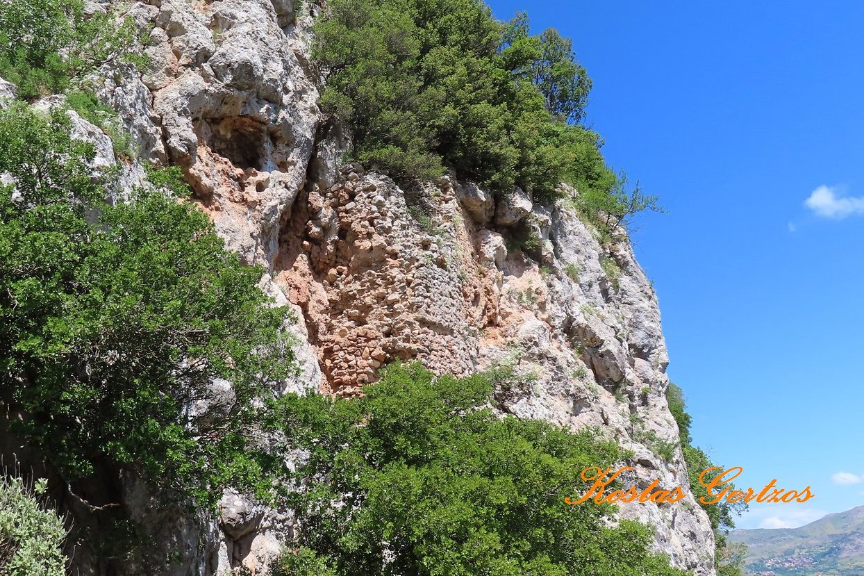
remains of the fortification at the east side
7 / 23
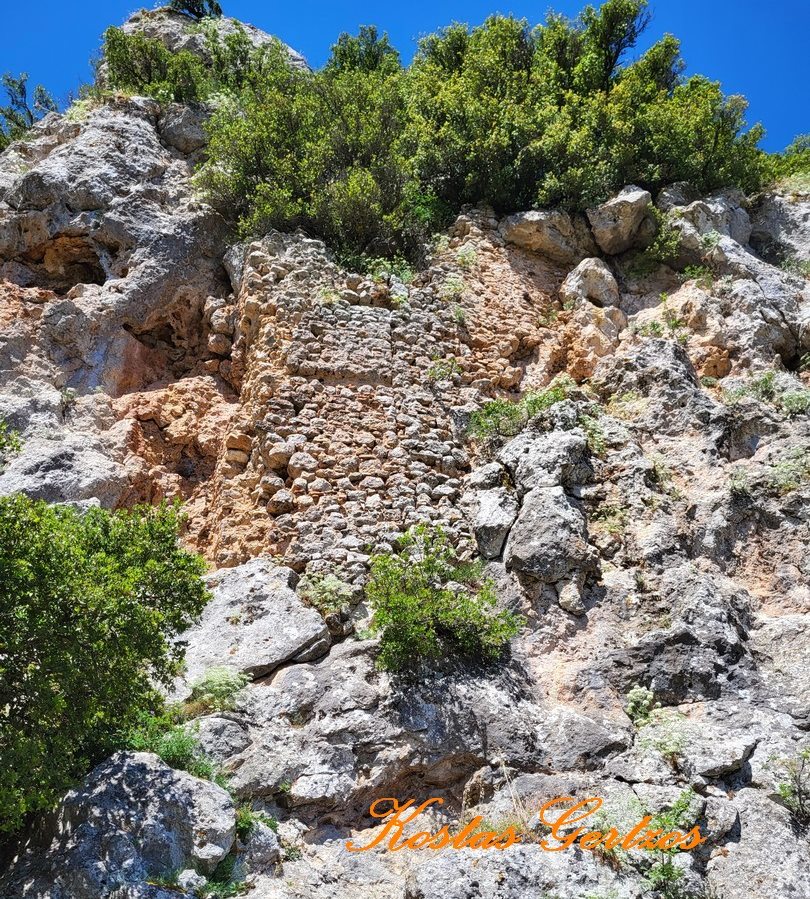
remains of the fortification at the east side
8 / 23
9 / 23
10 / 23
11 / 23
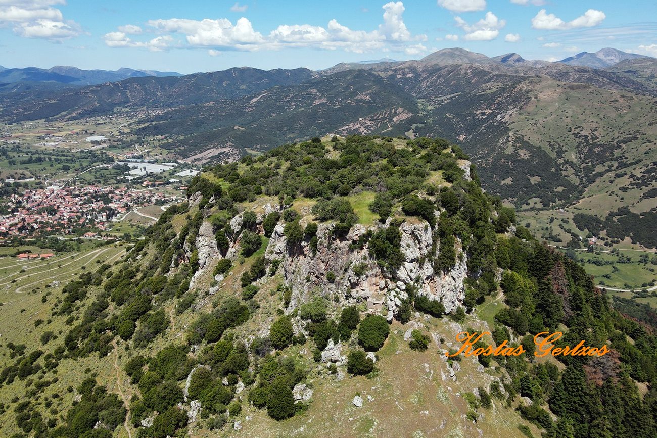
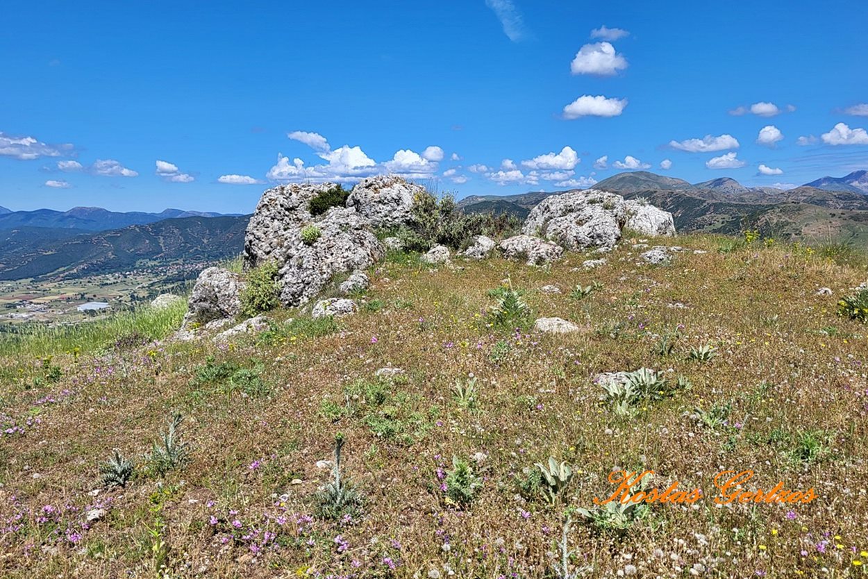
view from the east, Kalavryta in the background
12 / 23
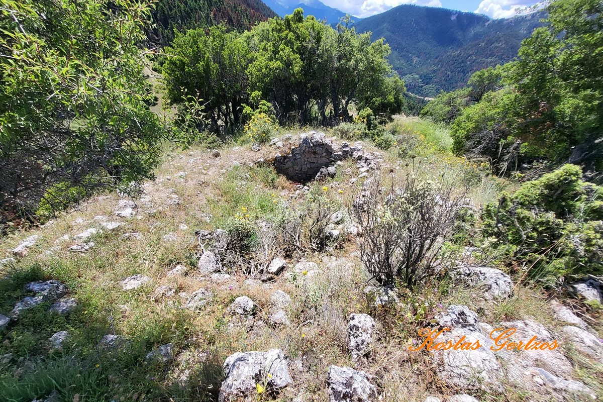
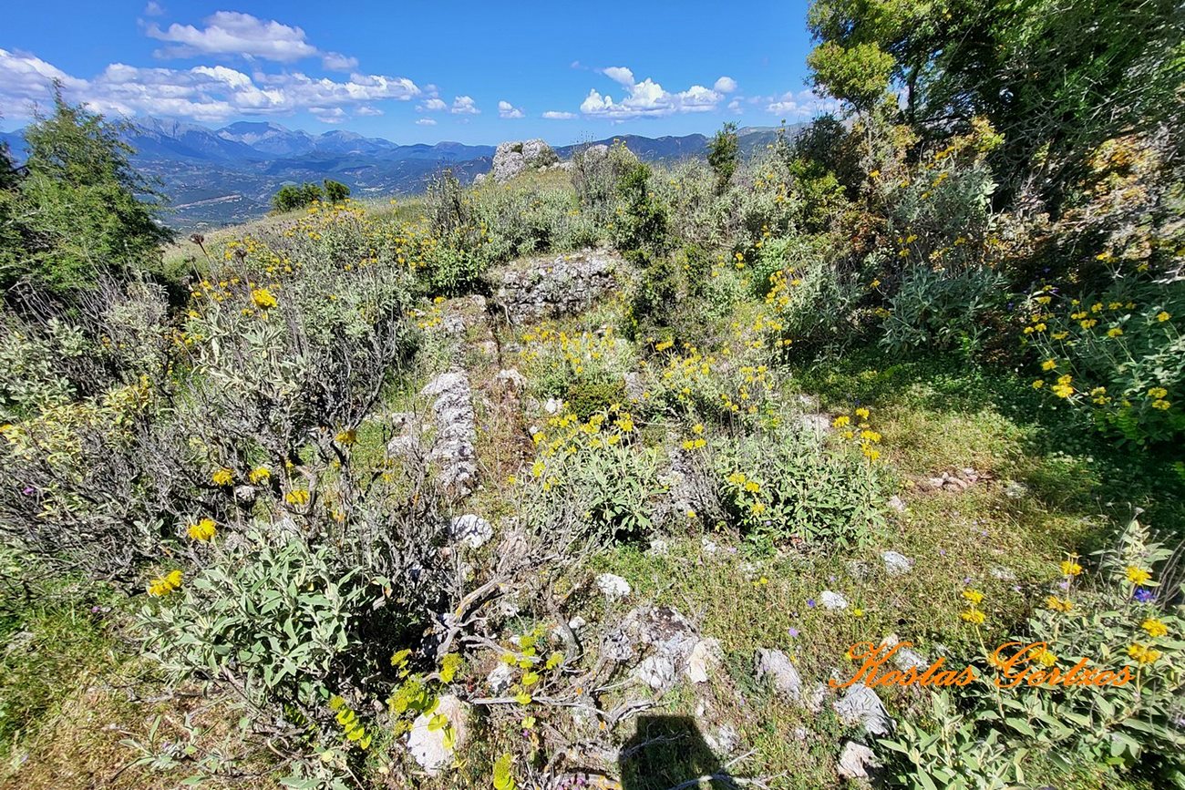
ruins of building in the interior and a cistern
13 / 23
14 / 23
15 / 23
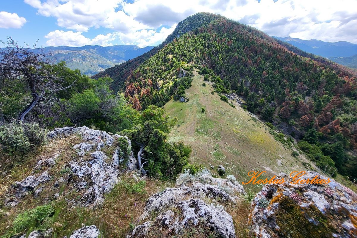
the neck of the east side that conects with the neighboring hill-Tremoulas castl
16 / 23
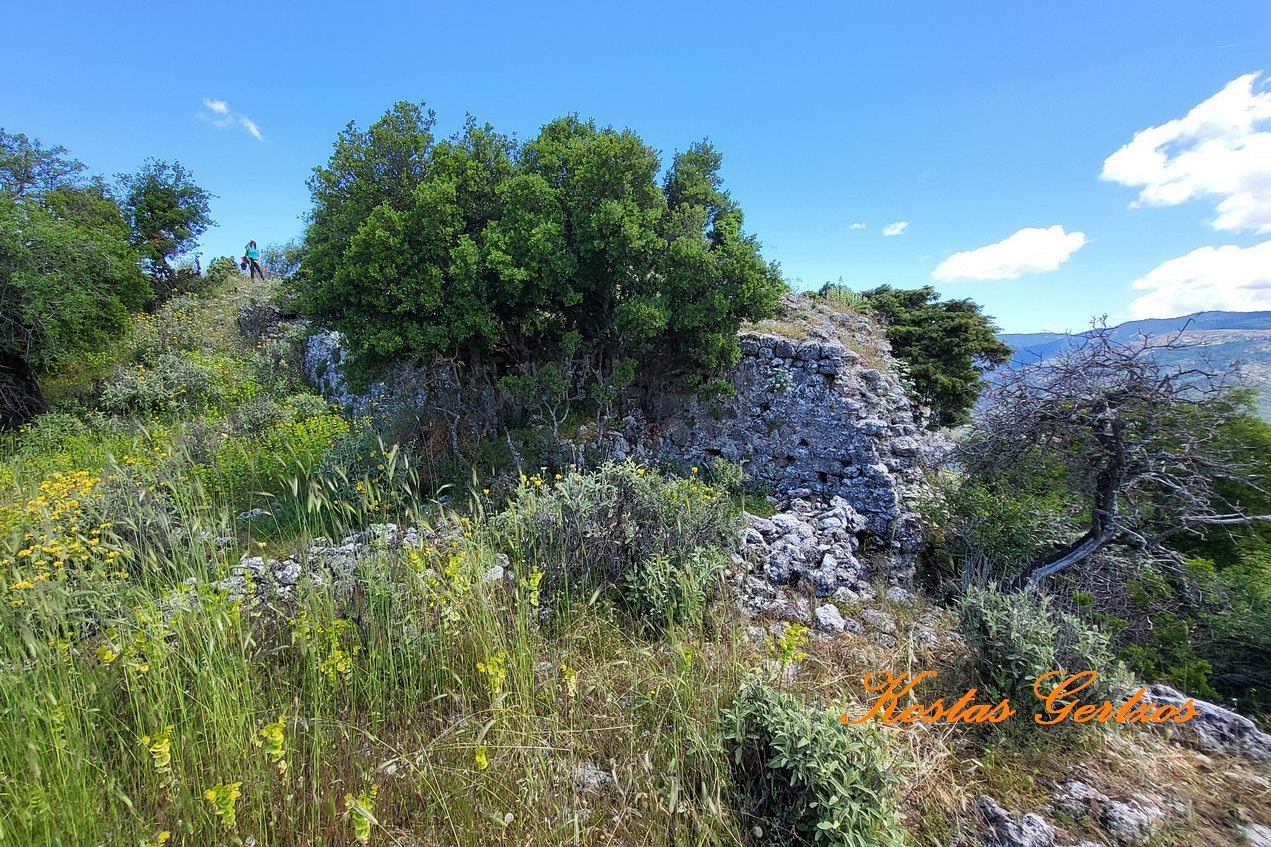
17 / 23
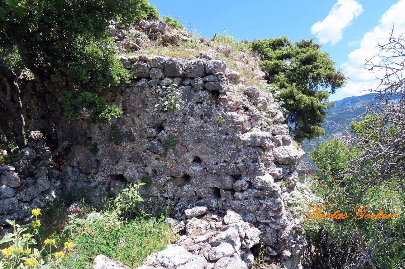
18 / 23
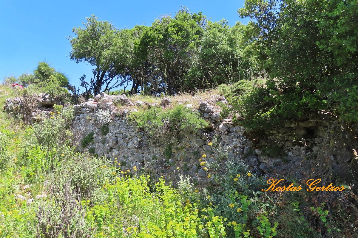
19 / 23
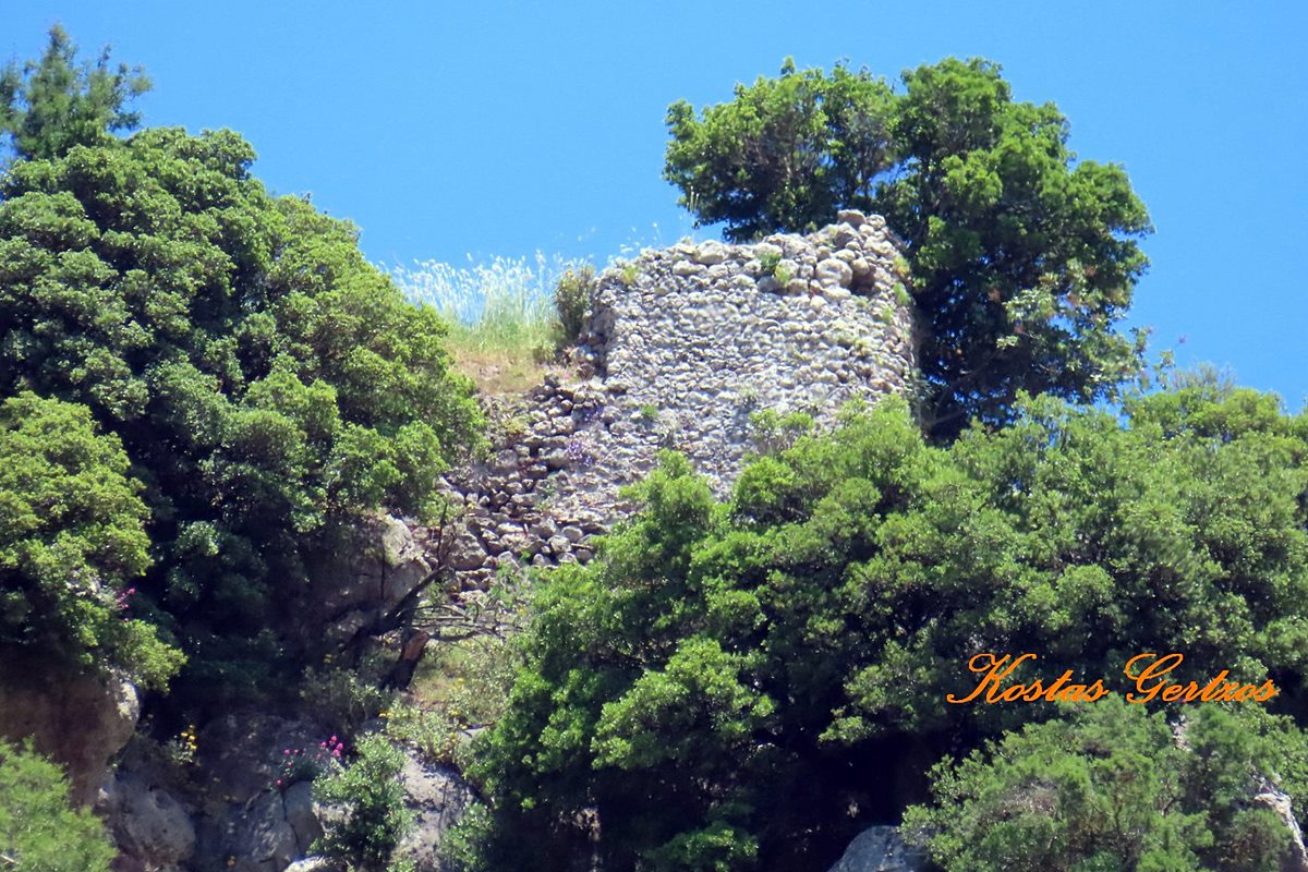
20 / 23
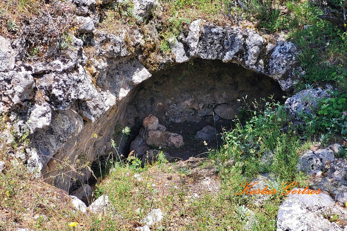
a cistern in the interior
21 / 23
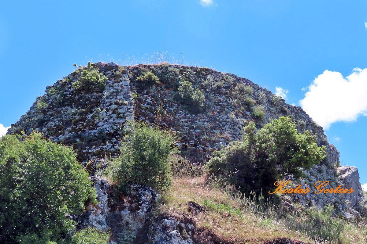
the tower of NW corner
22 / 23

the western side of the rock
23 / 23

the castle from the Sacrifice monument
THE END
| Location: |
| On a mountain east of Calavryta, Achaea, Peloponnese |
| Region > Prefecture: | 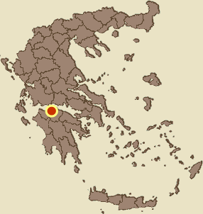 |
| West Greece Achaea | |
| Municipality > Town: | |
| City of Kalavryta • Kalavryta | |
| Altitude: | |
|
Elevation ≈ 1170 m (Relative Height≈400 m) |
| Time of Construction | Origin | |
| beginning 13th cent. | FRANKISH  |
|
| Castle Type | Condition | |
| Castle Ruins |
Rather Poor
|
The Castle of Kalavryta or Castle of Oria, is located on a hill east of the town of Kalavryta, approximately 1.5 km from its center. It was built during the Frankish period, by the first baron of Kalavryta, Othon de Turnay or de Durnay, after 1209. Today, only a few scattered ruins remain of the castle.
Despite its proximity to the town of Kalavryta and the historical value of the castle, it is completely neglected. There is not even a road leading to it. To visit it, one needs to dedicate a day of hiking from Kalavryta.
History
After the conquest of Constantinople by the Crusaders of the Fourth Crusade in 1204, the lands of the Byzantine Empire were divided among the Crusaders as vassal states of the Latin Empire. The Peloponnese was conquered by Guillaume de Champlitte and Geoffroi de Villehardouin who founded the Principality of Achaea, dividing the Peloponnese lands into Baronies among his knights. The Barony of Kalavryta was established in 1209 and given to Othon de Tournay. Like most knights who received Baronies, Othon built his own castle. The building of the castle must have taken place in the first decades of the 13th century, most probably in the 1210s.
The castle passed into Byzantine hands after the Battle of Pelagonia in 1259 and the recapture of Constantinople by the Byzantines in 1261. However, the castle of Kalavryta did not pass to the Byzantines as part of the peace treaty after the Battle of Pelagonia (as happened with other castles in the southern Peloponnese). On the contrary, the Byzantines captured it after a raid (we would not call it a “campaign”) to the North, deep into Frankish territory. It is not known for certain when this happened. Probably sometime in the 1260s, when the Franks were still disorganized, or perhaps around 1270. In 1278, a certain de Tournay is still mentioned as Baron of Kalavryta, but he must have been the owner of the area only “on paper”, i.e. having the title but not the land.
For many decades, the castle of Kalavryta remained an advanced and isolated position of the Greeks, far from the rest of the lands of the Despotate of Mystras. The Franks, in order to survey the –now hostile– castle, built the Castle of Tremoulas on the adjacent (and higher) peak to the east.
In 1400, the castle was sold to the Order of the Knights of St.John of Rhodes by Theodore Palaiologos, who was then the despot of Mystras. It remained under their rule until 1404.
In 1404, it returned to the power of the Byzantines (of the Despotate of Mystras), until 1458, when the lands of northern Peloponnese were occupied by the Turks.
In 1459, the castle was recaptured by the troops of Thomas Palaiologos. However, the Greek rule was temporary, as the following year it was besieged and finally conquered by Mehmed II, despite the brave resistance of the last garrison commander of Kalavryta, Doxa, who was skinned alive by the Ottomans.
This last effort of Thomas to take back Kalavryta was probably the cause that triggered the Ottomans to start their last campaign in 1460 that ended with the final ottoman occupation of Peloponnese.
Between 1686 and 1715, during the second period of Venetian rule in the Peloponnese, the castle was in Venetian hands.
From 1715 to 1821 it was again under Ottoman rule.
From 1821 to 1829 it followed the fate of Kalavryta during the revolution of 1821. After 1829, without any strategic importance anymore, it belonged to the Greek state.
Structure, Fortification & Buildings
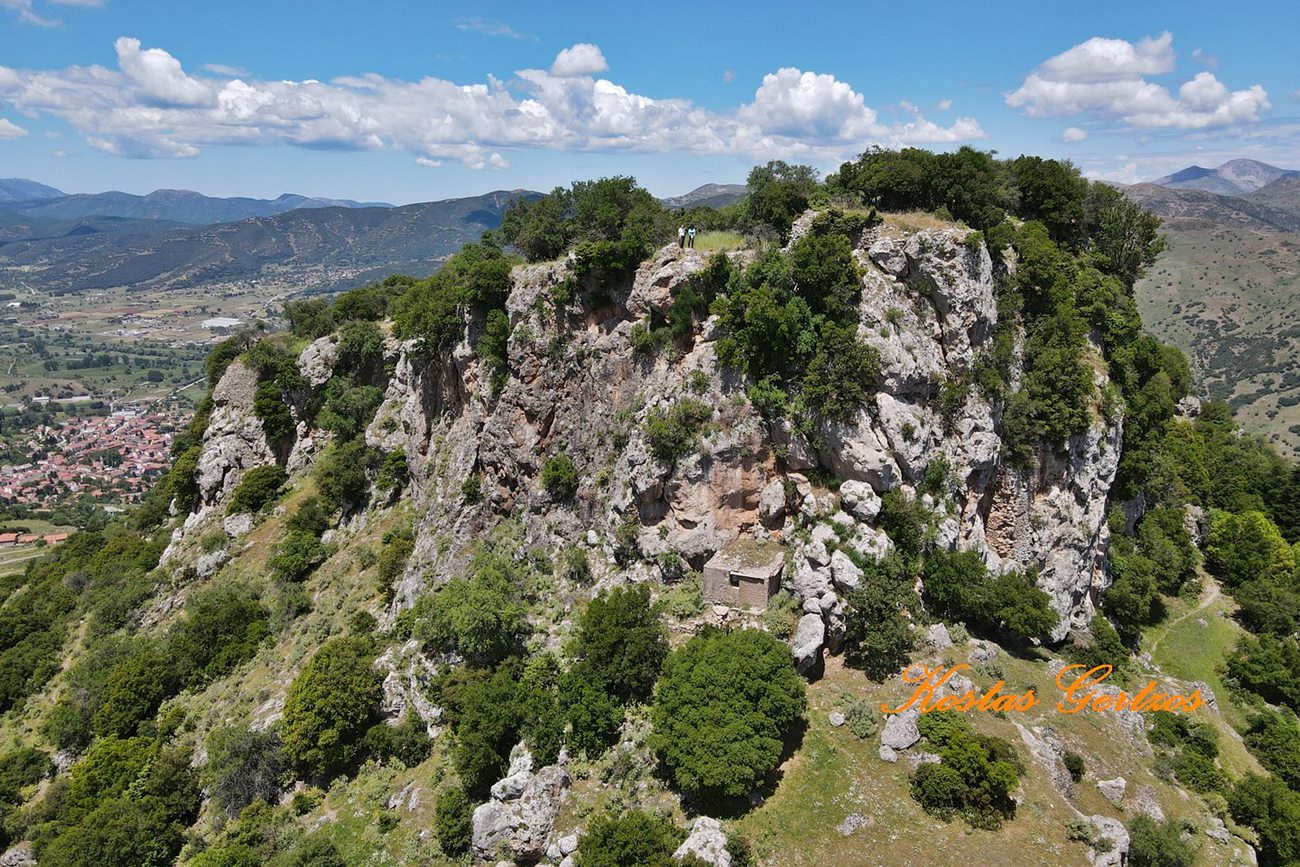
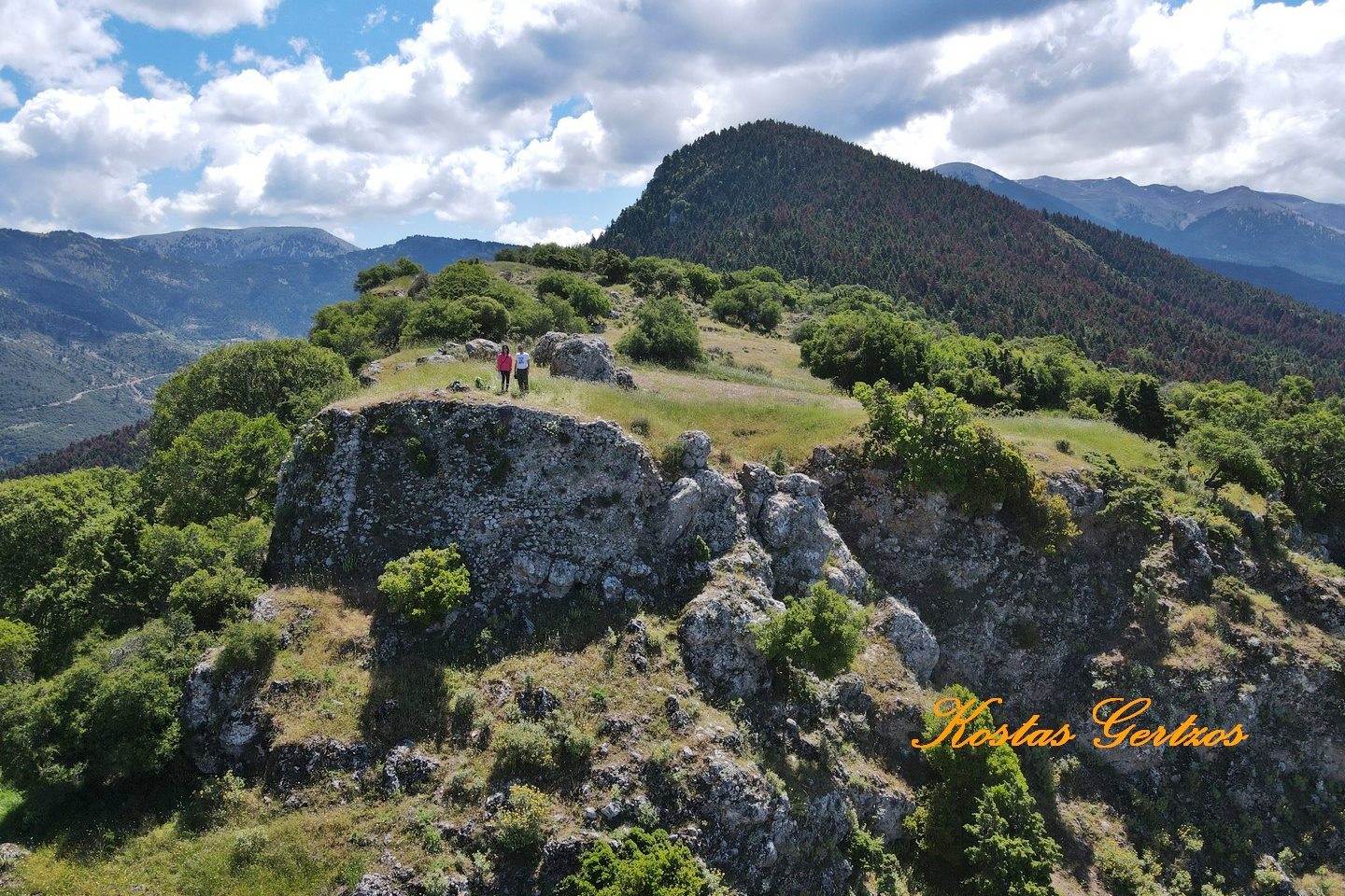
The rocky hill on which the castle is located is naturally fortified at an altitude of approximately 1170 meters. It dominates approximately 400 meters higher than the city, on the slope of Helmos mounatin. The top of the mountain is a plateau that rises almost vertically by 190m with a length of 350m and a width of 100m.
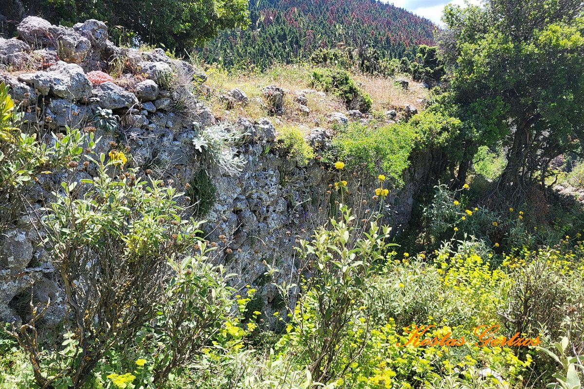
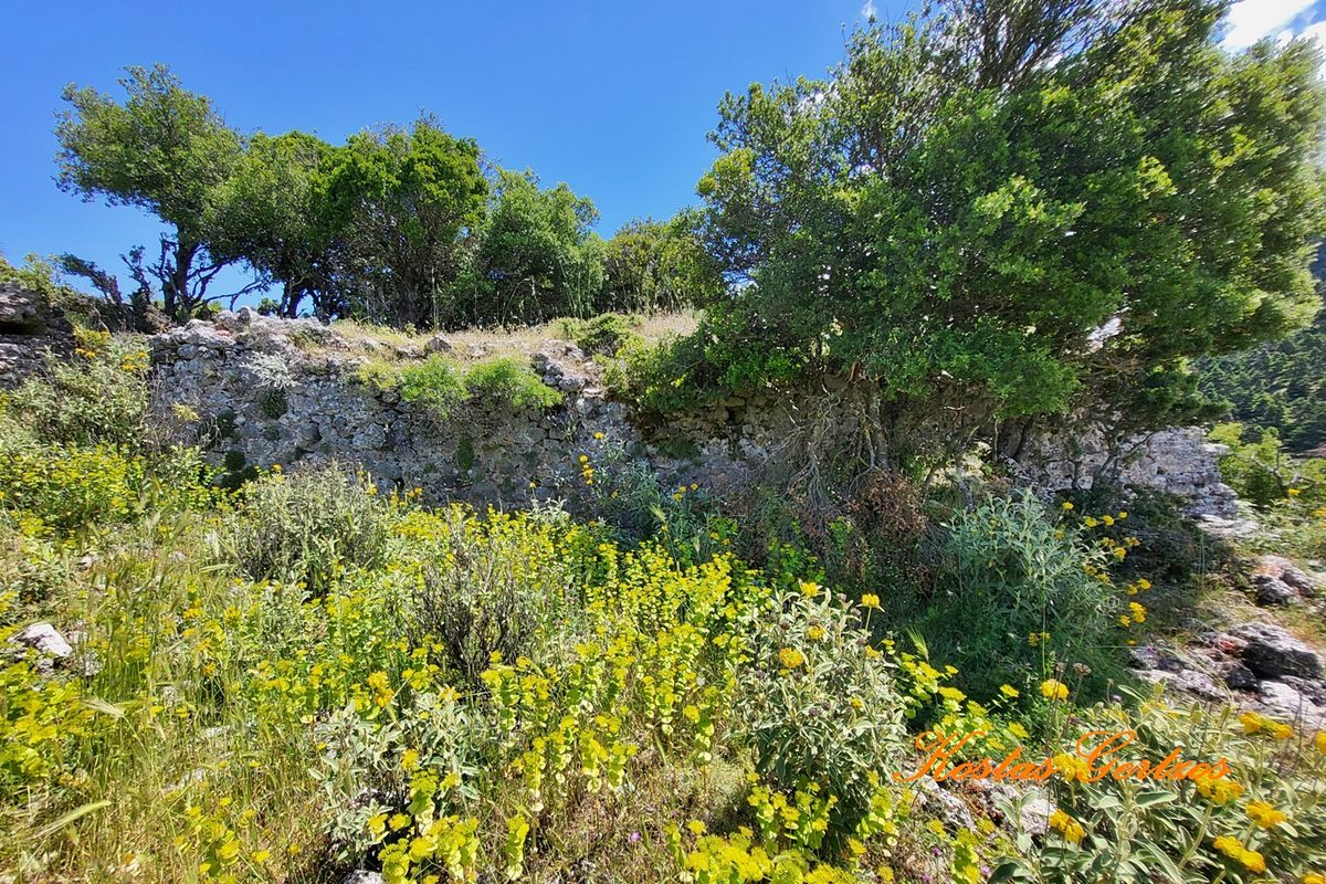
Its inner wall, one meter thick, was lime-built, very strong and in many places several meters high. Traces of ramparts can be seen on the outer wall. Water tanks as well as two remarkable half-ruined towers can also be seen. Also visible is the eastern side of the main gate and behind it a large stone carved like a well half a meter deep. In its heyday, the castle had 50 houses, of which only a few traces survive.
The location of the Castle is identified by some scholars with the acropolis of Ancient Kyneitha, while ancient building material was used for its construction. On the western slopes of the hill there are ruins from ancient and medieval times.
Sources
- Ουΐλλιαμ Μίλλερ, 1909, Ιστορία της Φραγκοκρατίας εν Ελλάδι (1204-1566), (William Miller, The Latins In The Levant: A History Of Frankish Greece, 1204-1566) μετάφρ. Σπυρ. Π. Λάμπρου, μετά προσθηκών και βελτιώσεων, Εν Αθήναις Ελληνική Εκδοτική Εταιρεία, 1909-1910, pp.150
- Photos (all but the last two) and Video by Kostas Gertzos ΚΑΣΤΡΟ ΚΑΛΑΒΡΥΤΩΝ (ΩΡΙΑΣ), ΑΧΑΪΑ. CASTLE of KALAVRYTA, ACHAIA, GREECE. (June 2025)
| Access |
|---|
| Approach to the monument: |
| - |
| Entrance: |
| Free entrance but you need to walk some hours |