Xeropigado, North Kynouria, Arcadia,Peloponnese
Voukolopyrgos
| Location: |
| Location Tsouleika on mount Zavitsa, 3km west of village Xeropigado in Arcadia, Peloponnese. |
| Region > Prefecture: |  |
| Peloponnese Arcadia | |
| Municipality > Town: | |
| City of North Kynouria • Xeropigado | |
| Altitude: | |
| Elevation ≈ 384 m |
| Time of Construction | Origin | |
| Unknown | Late-BYZANTINE  |
|
| Castle Type | Condition | |
| Tower |
Rather Poor
|
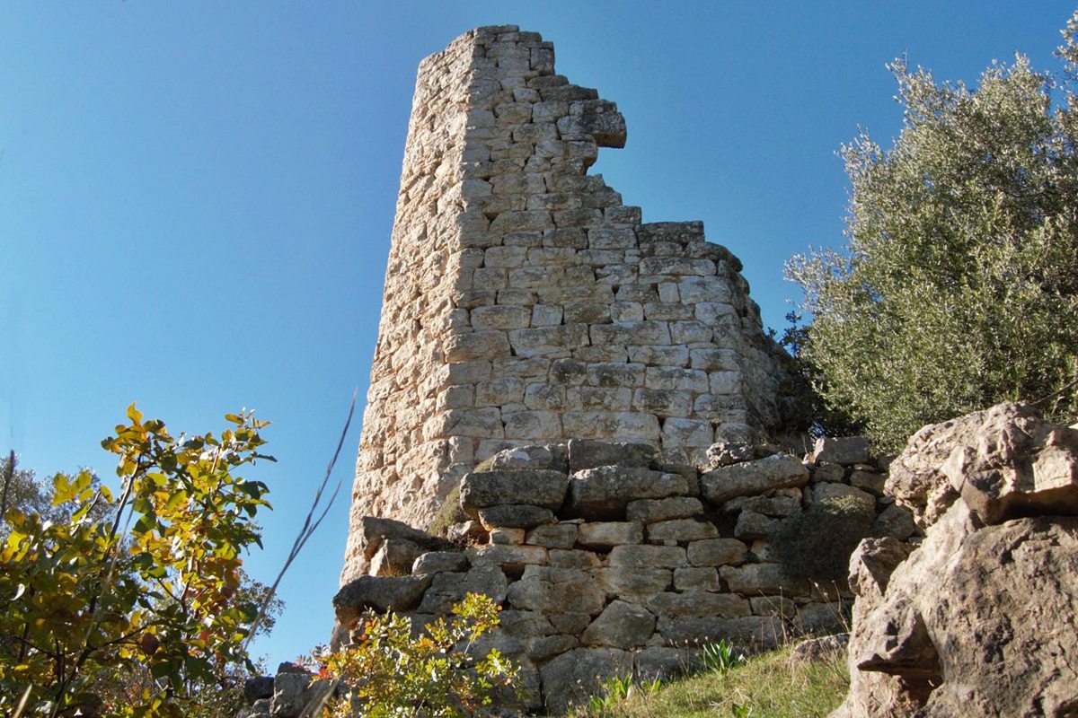
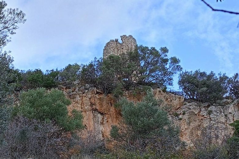
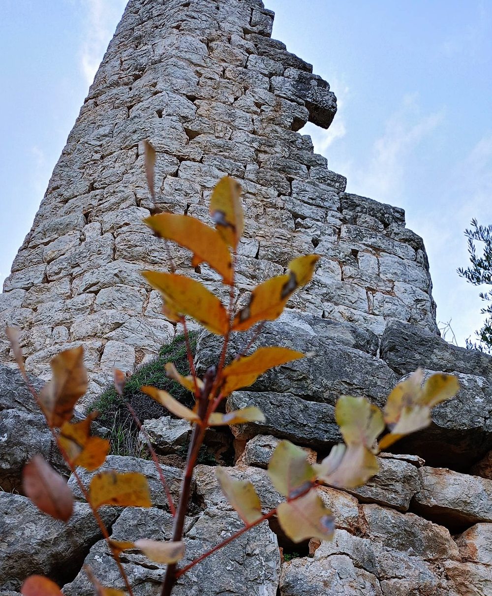
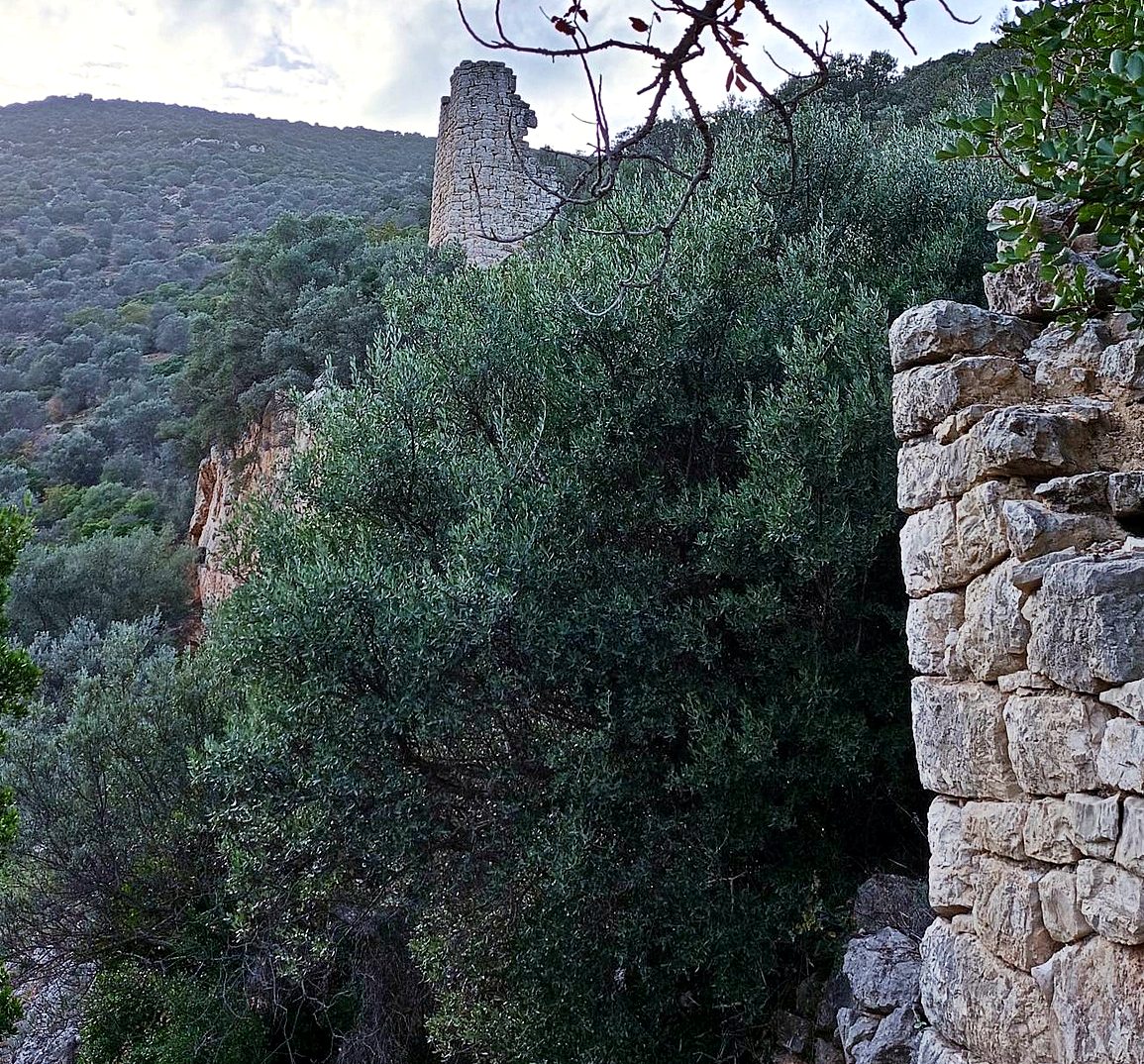
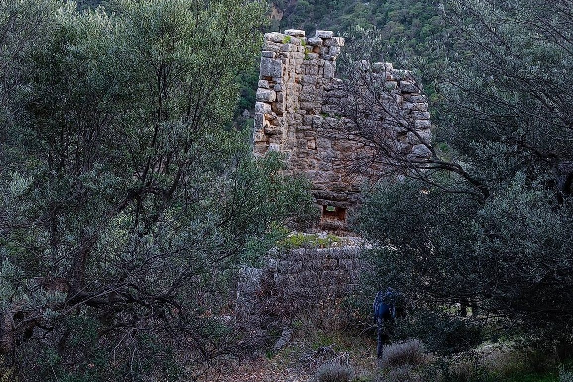
Tower ruins at the location Tsouleika, on the slope of mountain Zavitsa, 3km west of the village of Xiropigado (or Xeropigado).
Zavitsa is a mountain (altitude 974m.) between Argolida and Kynouria, which in the east reaches almost to the sea, in the Argolic Gulf, above the beaches of Xiropigado.
Location & Strategic Scope
The tower is not in a particularly dominant position, but is located on a mountain path that connects coastal Arcadia with Argolis. It is speculated that this path may have been part of the ancient “Anigreian road”, mentioned by the traveler Pausanias, in the 2nd century AD.
It should be noted that this path remained the only land access to Xiropigado until 1953.
History
The history of the tower is unknown to us.
The elaborate stonework creates the impression that the tower could be ancient; however, the presence of a connecting mortar suggests that it is rather a Byzantine building, most likely from the Late Byzantine period (12th–15th century).
Its location on the mountain path may mean that its purpose was to monitor and guard the mountain route from the eastern coast of the Peloponnese to the hinterland of Arcadia and Argolida.
It is more likely, however, that it is a tower house, which may have belonged to a landowner or large-scale cattle breeder in the area.
The name “Voukolopyrgos” supports the hypothesis that this is a center of livestock activity, as Kynouria has long been known for raising cattle — although we must note that the tower seems too well-built for such use.
Structure, Fortification & Buildings
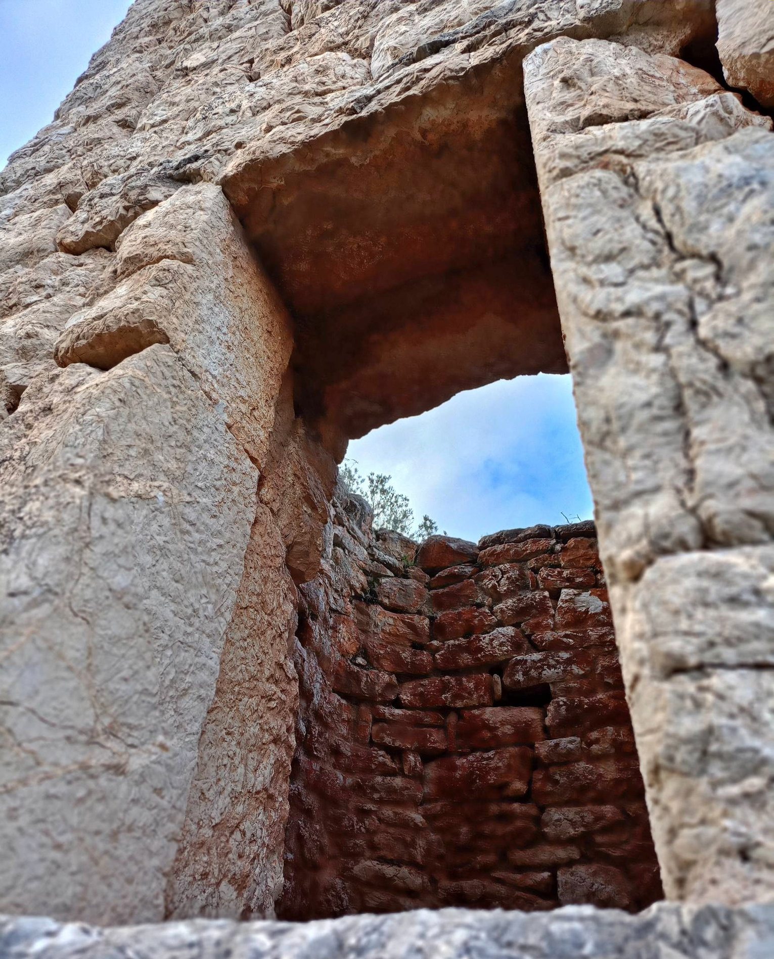
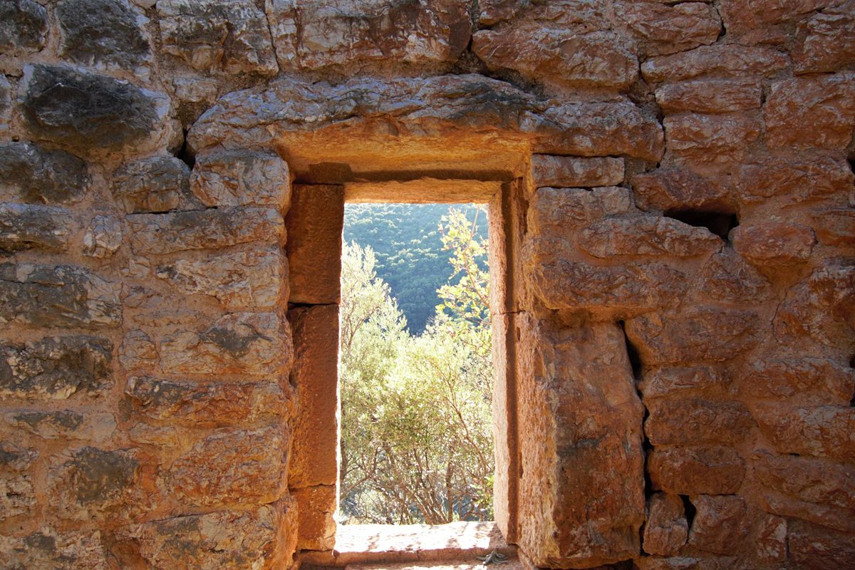
The tower had an octagonal layout. Its walls are preserved at a considerable height, especially on the south side. It was three-storeyed, had battlements and a small entrance, which — unlike most medieval towers — opened on the ground floor and not on an upper floor, probably because the steep rocks below it made access quite difficult.
A short distance from the tower, remains of a cistern can be found, as well as ruins of some other buildings of undetermined date.
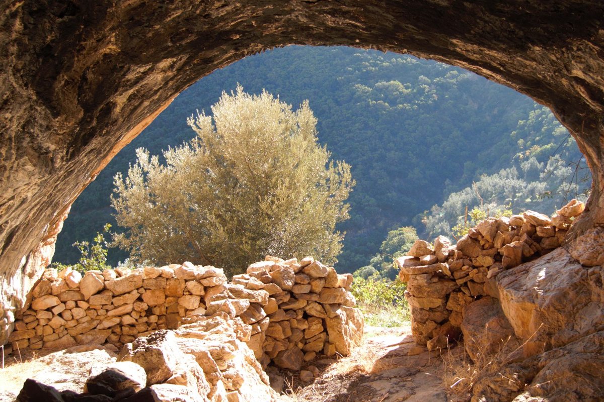
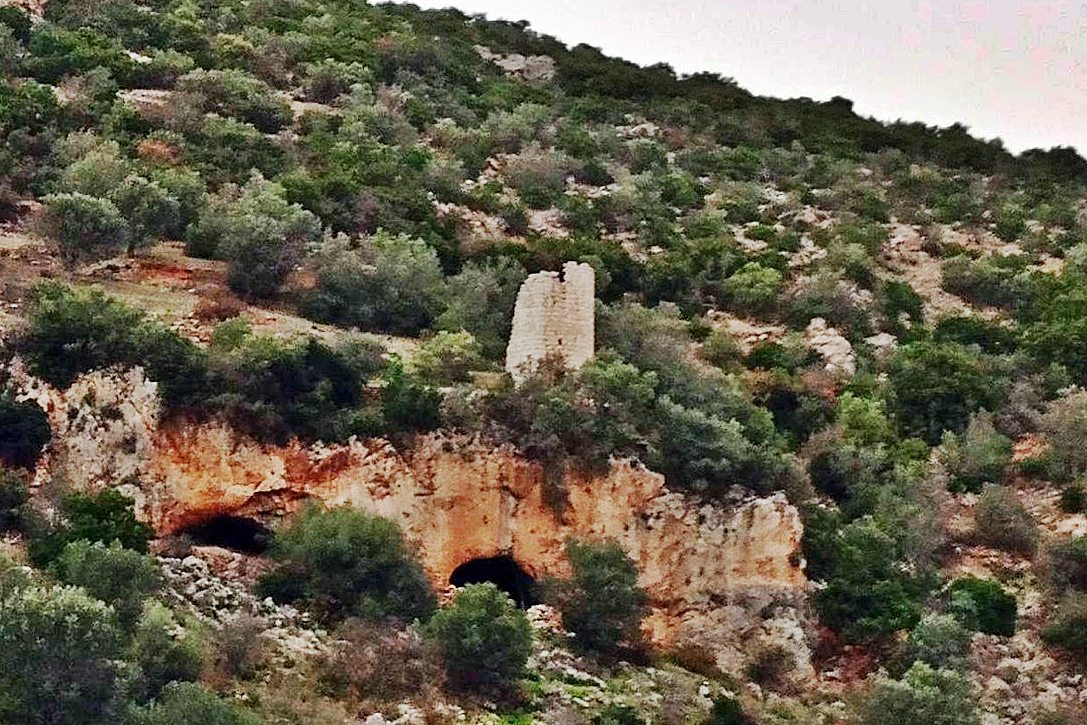
There are many small caves on the mountain. The tower is built over two of these caves, which were apparently used as storage rooms or stables. It is highly likely that the location of the tower was chosen because of the spatial advantages offered by these caves. It is characteristic that one cave communicates with the tower from above, through an internal opening with stone steps.
Sources
- Photos and info: Facebook, user Iraklis Soursos, post HERACLES GAIA (6 January 2026)
- Info by Nikolaos Krallis
| Access |
|---|
| Entrance: |
| Free access. |