

Nea Santa, Kilkis, Central Macedonia
Castle of Nea Santa


| Location: |
| Atop a hill 2.5 km east of Nea Santa, north of Thessaloniki, in Kilkis prefecture |
| Region > Prefecture: |  |
| Central Macedonia Kilkis | |
| Municipality > Town: | |
| City of Kilkis • Nea Santa | |
| Altitude: | |
|
Elevation ≈ 220 m (Relative Height≈50 m) |
| Time of Construction | Origin | |
| 4th-6th cent. | Early ΒΥΖΑΝΤΙΝΕ |
|
| Castle Type | Condition | |
| Castle |
In Ruins
|
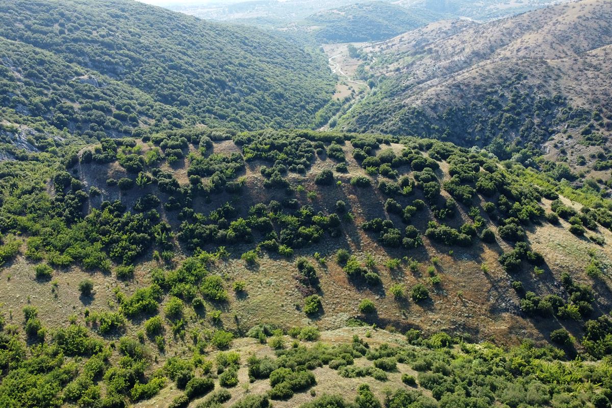
Few ruins of an early Byzantine castle on a long narrow hill between Nea Santa and Krithia in Kilkis prefecture, on the border with Thessaloniki prefecture.
Below the hill is the bed of the Xiropotamos stream which flows into the Galliko river, 8 kilometers further west.
The remains of the fortification are most visible at the southern end of the hill, but it is evident that, at the time the castle was active, there was here a settlement and fortification that extended across the hill.
The place has never been systematically researched. It has simply been spotted and recorded by the archaeological service.
History
The castle has not been identified with any castle known from historical sources. We know nothing about its history. It is believed that it was created during the early Byzantine period, between the 4th and 6th centuries A.D. This dating is based on surface findings (scattered pottery). It goes without saying that its name at that time is not known.
It seems that the settlement existed at the beginning of the Byzantine period and was then abandoned, possibly due to the invasion of the Slavs towards the end of the 6th century. Unlike the neighboring castle of Aetos in Petroto, the castle in Nea Santa was not rebuilt and reused later, during the Middle Byzantine or Late Byzantine period.
Structure, Fortification & Buildings
Much of the perimeter wall has eroded into the slopes and has been covered by dense vegetation. However, remnants of the fortification are visible in places and give a fairly good idea of the trace of the enclosure. The perimeter of the wall was about 500 meters long. Its masonry consists of rough stones of various sizes. The binding material is plaster. In the joints there are plinths (fragments of tiles, etc.).
The best preserved parts of the wall are on the west and south sides of the castle. The thickness of the wall is around 2 meters.
The southern side of the wall seems to have been the most reinforced since it was also the most vulnerable. In fact, the southern side was also the highest point of the castle (altitude: 220m). At this point there are inside the wall ruins of rectangular buildings covered by vegetation. They were perhaps the ruins of a tower and a cistern as was customary at the highest points of Byzantine castles.
| First entry in Kastrologos: | July 2022 |
Sources
- Research, photos, video and info by Sakis Amfiteides and his blog ΑΜΦΙΤΡΕΙΔΗΣ (2022)
|
|
| Access |
|---|
| Approach to the monument: |
| Approach from Krithia via a dirt road along the torrent. After 1400m at the river crossing, continue on foot up to the foothill. From there is 10 minhard trekking without path |
| Entrance: |
| Free acces |
| Other castles around |
|---|
| Tower of Agios Vasileios |
| Eptapyrgio |
| Gynaikokastro |
| Lefkos Pyrgos |
| Fortress of Aetos |
| Castles of Thessaloniki |
| Fortress of Vardari |
| Kastri of Chortiatis |


