

Agio Pneuma, Emmanouil Pappas, Serres,Central Macedonia
Castle of Agio Pneuma
1
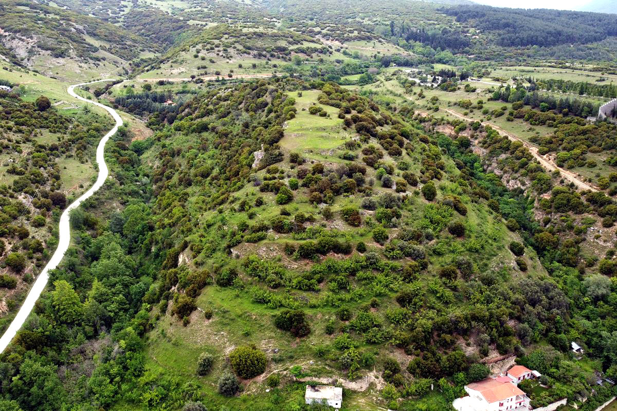
2 / 11

the hill of the castle from SE
3 / 11

southeast wall
4 / 11

southeast wall
5 / 11

the trace of the north wall
6 / 11

part of the north wall from the inside
7 / 11

the north wall from above
8 / 11

remains of the SW fortification
9 / 11

ruins of some builfing inside
10 / 11

remains of the fortification at the eastern side
11 / 11

the hill of the castle from the village

THE END
| Location: |
| On a hill NW of the village Agio Pneuma in Serres prefecture, Central Macedonia |
| Region > Prefecture: |  |
| Central Macedonia Serres | |
| Municipality > Town: | |
| City of Emmanouil Pappas • Agio Pneuma | |
| Altitude: | |
|
Elevation ≈ 420 m (Relative Height≈70 m) |
| Time of Construction | Origin | |
| around 3rd cent. AD | Early ΒΥΖΑΝΤΙΝΕ |
|
| Castle Type | Condition | |
| Castle Ruins |
In Ruins
|
On a hill called Grandiskos, at a short distance northwest of the village of Agios Pneuma in the prefecture of Serres, there are the few ruins of a castle and a fortified settlement.
History
This castle/fortified settlement has not been identified. The area has been inhabited since prehistoric times (Late Bronze Age).
In the archaeological bulletin 24/B2 (1969) it is stated that “at the site of Grandiskos, ruins of fortification walls are preserved, probably from Roman times. To the east and north of the hill there are graves carved into the rock that clearly seem to have been the cemetery of this unknown city. The coins handed down by the villagers are from ancient Greek times (mostly from Macedonian cities), Roman and early Byzantine times.”
Newer research (Samsaris, 2004) found at the site surface pottery from post-Roman and early Christian times.
Some of the silver and bronze coins that have been found depict the Roman emperors Marcus Aurelius (2nd century AD) of Septimius Severus (mid 2nd- early 3rd century AD), Claudius II (3rd cent. AD), Diocletian (3rd cent. AD).
Consequently, we assume that this is an ancient settlement, which was reinforced with fortifications in the late Roman period due to barbarian raids (so around the 3rd century AD) and survived until the early Byzantine era, i.e. until the 5th- 6th century, at the latest.
Structure, Fortification & Buildings
The castle is located on a naturally fortified long hill, above the village of Agio Pneuma. The hill belongs to the range of Menoikion mountain. To its east, on the opposite hill, is the Monastery of Prophet Elias. The steep sides of the castle to the east and west are surrounded by deep ravines. The south side, is not steep but, nevertheless, quite sloping. The houses of the village begin in the lower part of the south side. On the northern side, a small neck is formed with the neighboring lower hill. Here was the most vulnerable point of the fortification.
The hill was surrounded by a strong wall all around. From the wall today few ruins are preserved on the north and east side. The construction of the wall consists of stones of different sizes with white binding mortar between them. In a part of the northern wall, the use of plinths is also observed. The perimeter of the castle is estimated at approximately 700-800 meters.
The best preserved part of the wall is on the southeast side (photo 3,4). It is a section of wall with a length of about 8m with a height that reaches up to 2.5m. The traces of the wall are also visible on the rest of the eastern side, but at a lower height.
On the north side there are ruins of a wall about 70m long that blocked the most vulnerable point of the castle. It is preserved at a low height (up to 1m) and a thickness ranging from 1 to 2m (photos 5, 6, 7). In the north-east corner are traces of a tower.
On the southwest side, a small part of the wall is preserved at a low height, up to 0.8m (photo 8).
On the southern side the traces of the wall are quite indiscernible, while on the steep western side the traces are lost. The reasons there are so few remains of the wall are that it has been covered by vegetation over time or fell down the steep slopes.
Observing the ruins on the hill, it seems that there was a settlement inside as well as outside the wall. Throughout the castle area there are artificial plateaus with foundations of buildings, scattered stones, ceramics and stone piles.
| First entry in Kastrologos: | June 2023 |
Sources
- Research, presentation and photos by Sakis Amfitreidis and his blog ΑΜΦΙΤΡΕΙΔΗΣ (May 2023)
- Σαμσάρης, Πέτρος «Βυζαντινοί τόποι και μνημεία της κάτω κοιλάδας του Στρυμόνα», 2004, Πανεπιστήμιο Ιωαννίνων – Διδακτορική Διατριβή, 2004, σελ. 651-652
- ΑΡΧΑΙΟΛΟΓΙΚΟΝ ΔΕΛΤΙΟΝ, τεύχος 24/Β2 (1969), σελ.352
|
|
| Access |
|---|
| Approach to the monument: |
| From the NW end of the village begins an asphalt road towards Moni Prof. Elias. At 1300m we turn right and after 50m we leave the vehicle. From there by hiking 350m to the SW, we reach the N side of the castle. |
| Entrance: |
| Free access. Trekking on the hill is difficult due to dense vegetation. |
| Similar |
|---|
| Castle of Kalokastro |
| Castle of Chionochori |


