

Oreini, Serres, Central Macedonia
Castle of Oreini
1
2 / 12

section of the S-SE wall, height 1.80m
3 / 12

section of the S-SE wall, height 1.50m
4 / 12

foundations of the south wall
5 / 12

foundations of the south wall
6 / 12

remains of the eastern wall
7 / 12

a fragment of the wall
8 / 12

remains of the building at the plateau of the top of the hill
9 / 12

rust remains of metallurgical process
10 / 12

rust fragnments
11 / 12

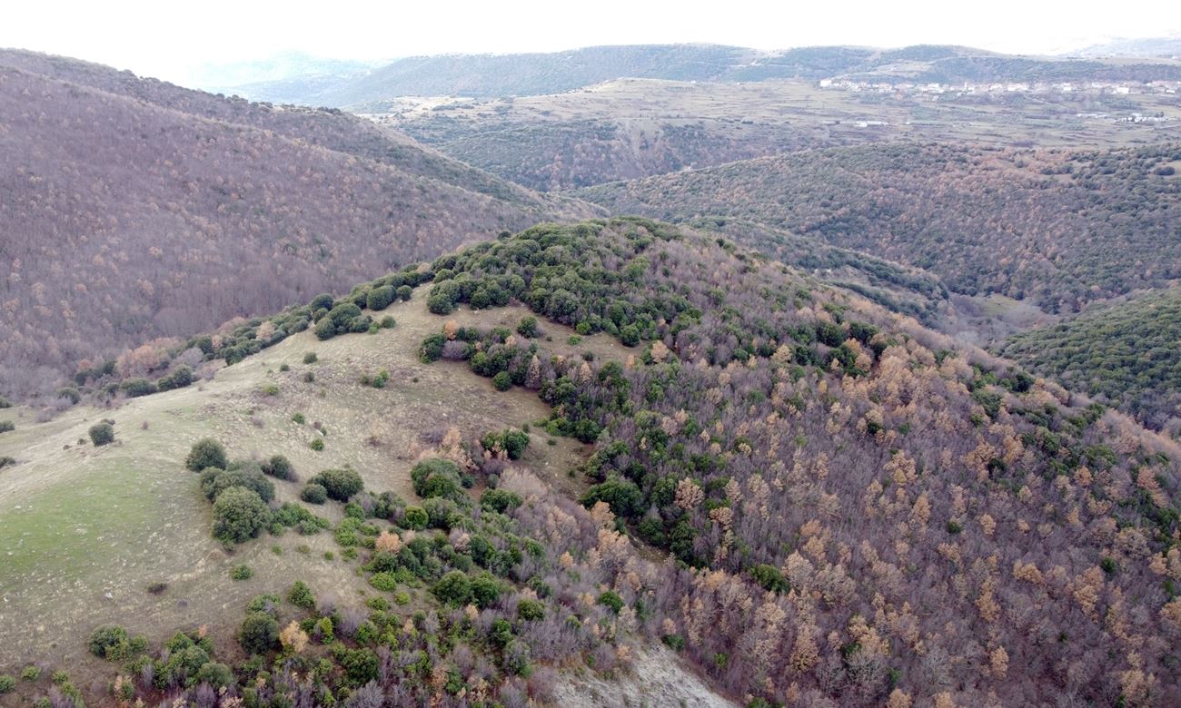
the hill from the east; village Orini in the background
12 / 12

the hill of the castle from the west

THE END
| Location: |
| On a hill named Koulata 1.5km east of the village Oreini in Serres orefecture |
| Region > Prefecture: |  |
| Central Macedonia Serres | |
| Municipality > Town: | |
| City of Serres • Oreini | |
| Altitude: | |
|
Elevation ≈ 745 m (Relative Height≈200 m) |
| Time of Construction | Origin | |
| perhaps 3rd-4th cent. AD | Early ΒΥΖΑΝΤΙΝΕ |
|
| Castle Type | Condition | |
| Castle Ruins |
Few Remains
|
Minor ruins of a castle, of undetermined date, 1.5 km east of the village of Oreini in the prefecture of Serres, on a hill named “Kulata” (the name means castle).
History
We know nothing about the history of the castle. The use of lime mortar in masonry means a date from the 3rd-4th century AD. and later. However, we do not know from which era the surface pottery.
In any case, it is a mountain castle that belonged to the hinterland of Serres, the establishment of which must probably be related to the exploitation of the mineral wealth of the area. Numerous traces of metallurgical work are still visible today along the western slope of the hill.
From a geostrategic point of view, the castle of Oeini seems to have controlled an ancient road that connected Sirri (Serres) with the mountainous hinterland (this road is believed to have followed roughly the same course as the present-day upcountry road Serres-Kato Vrontou - Kato Neurokopi).
Structure, Fortification & Buildings
Today, from the castle only a few ruins of the perimeter wall around the hill are preserved. Most of the wall has been covered by dense vegetation or has fallen on the steep slopes.
The perimeter of the castle was about 300 meters.
The construction of the wall consists of mudstone with connecting mortar between the stones.
The best preserved part of the wall is on the south-southeast side. It is a section of wall 10-15 meters long, with a maximum height of 1.80 meters and a thickness of 1.60. (photos 2,3).
Two more sections of wall foundations are visible on the south side (photos 4,5). The rest of the wall is either covered by vegetation, or in ruins, creating stone piles. However, the traces of the course of the wall are visible on almost the entire perimeter.
Inside the castle, massive stone piles can be seen in several places - ruins of buildings that have collapsed. There is also scattered surface pottery throughout the space.
It is worth mentioning that along the western slope in many places there are remains of mining operations. There are several piles of iron slag, which are the waste from the burning of iron ore. Apparently, the castle was also a mining center. (In general, the wider area contains iron ores. In fact, until the beginning of the last century it is reported that the inhabitants of the neighboring village Ano Vrontou were systematically engaged in the processing of iron and the manufacture of utensils and tools.)
| First entry in Kastrologos: | January 2024 |
Sources
- Research, presentation and photos by Sakis Amfitreidis and his blog ΑΜΦΙΤΡΕΙΔΗΣ (December 2023)
- Σαμσάρης, Πέτρος «Αρχαίο κάστρο και μεταλλουργείο Σιδήρου κοντά στο σημερινό χωριό Ορεινή Σερρών», 1979, Μακεδονικά: τόμος 19,, σελ. 240-250.
|
|
| Access |
|---|
| Approach to the monument: |
| At the 19th km of the Serres-Vrontou road (not through Orini) we park and start a downhill walk to the east for 1 km lasting 30 minutes. The route is through paths created by the herds of the area. |
| Entrance: |
| Free access. |


